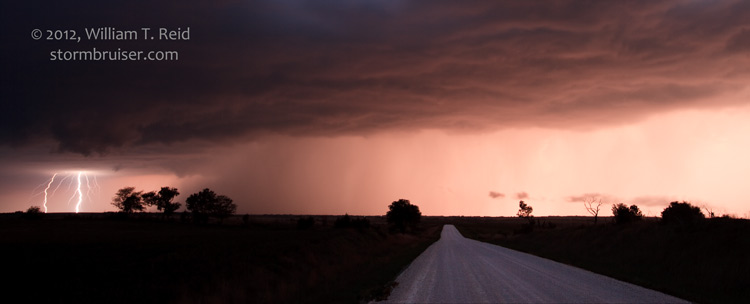
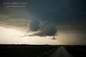
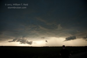
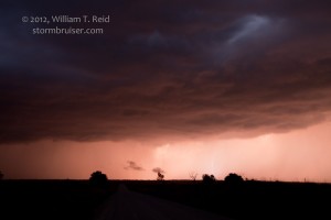
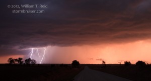
Tour 6 was ready to go out of Denver by late morning, and we hit the road. Unfortunately, the closest risk for severe weather was well to the east, in northeastern Kansas. As we neared Salina, cumulonimbus clouds were developing to our south, near McPherson, and to our north-northeast, around Clay and Washington counties. Instability and shear looked a little better north of I-70, so we headed another 30 miles or so east of Salina, and then north to Clay Center. A tail-end cell was looking pretty good on radar and wasn’t moving too quickly, and we managed to get under its updraft base northeast of Green, KS. The storm gave us a decent CG display and some pretty sunset colors, but for the most part was not well-organized at low levels. It was a tad outflowish, and a new strong cell or two went up southwest of this one. This provided additional lightning photography opportunities. We got into Manhattan and had a decent dinner after a long day on the road.

Leave a Reply
You must be logged in to post a comment.