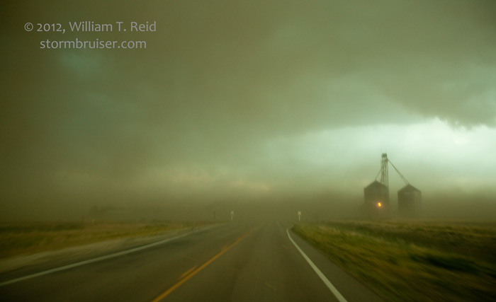
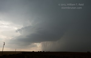
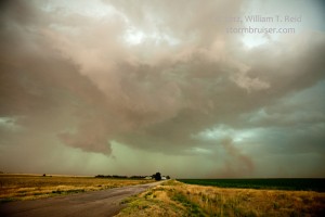
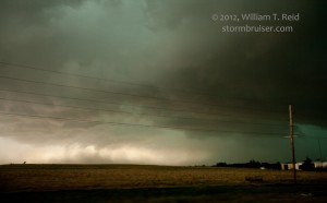
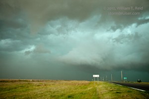
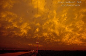
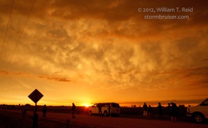
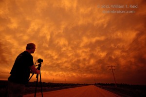
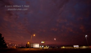
Today was marginally interesting, as we watched strong storms develop in NW KS. These became severe-warned and started propagating southeastward across U.S. 36 in the vicinity of Oberlin and Phillipsburg. There was never any decent attempt at wrapping up and tornado-ing, as cool outflow quickly undercut updraft bases. We wound up witnessing a lot of windy and dusty outflow. This became tiresome, and I decided to head towards Cozad for sunset and motel rooms.
Here is my midday forecast:
—-
We are too far southwest to get to SPC’s 10 percent tornado area in MN/WI today, so we are looking at nw KS and sw NE. Moisture and instability look great along the stalling-out frontal zone in the vicinity of Norton and Oberlin, KS later this afternoon. The big negative today is upper flow — 500 winds are generally 20-30 knots, and 300 flow even worse. But, easterly low-level flow is progged on the north side of the front, along and just north of the KS/NE border. Tornado prospects might not be too shabby along U.S. 6 from McCook to Alma and Minden this evening. We are in GLD currently and will drift northeast to the border.
—-
As it turned out, on this day there were no tornadoes in the 10-percent tornado risk area of MN/WI, and there were three weak, brief and/or small tornadoes in e CO and sw KS.






Leave a Reply
You must be logged in to post a comment.