Little to nothing was expected storm-wise today until after dark (i.e., after light), around the east-central SD region. We began in Sioux Falls and moseyed west. After a little tour of Spencer, we lunched in Mitchell and visited the Corn Palace. We had time to kill, but it was rather hot and humid and uncomfortable to be outside in the sun. Towards late afternoon we drifted north and northwest of Mitchell a little, towards Huron. There might have been a remote chance of convection before sunset, but the cap stood strong. Strong elevated convection was expected an hour or two or three after sunset in the Huron area, as the low-level jet intensified. My plan was to try to catch some of this nighttime storminess without winding up too far from our home for the night —- and getting back to the motel at a reasonable hour.
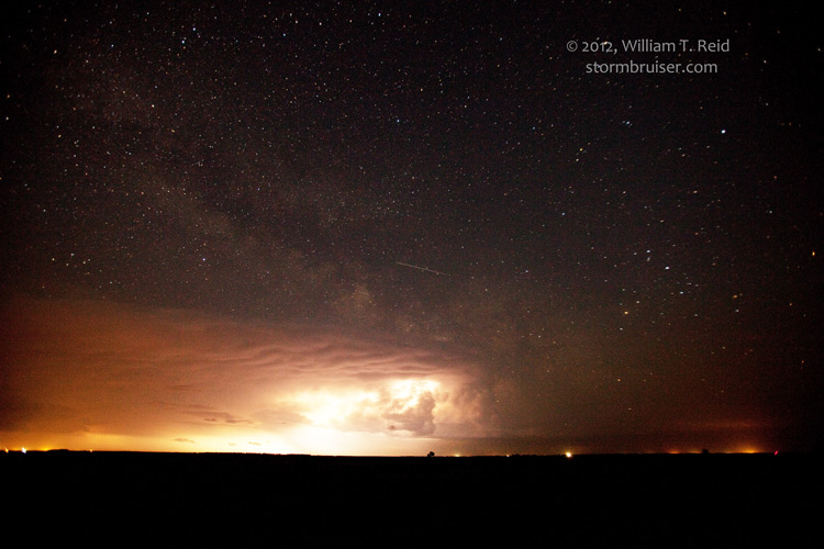
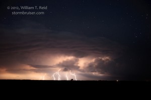
Around 7 p.m. we stopped for dinner in Orient, SD, a tiny town in Faulk County between Aberdeen and Pierre. There was still no storminess in eastern SD post-dinner as sunset neared, though some nearby altocu were becoming perky. It looked like the most likely spot for thunderstorms a little later was the Huron area, about 50 miles to our southeast, but Huron and Redfield motels were unable to accommodate our large group. I reserved rooms in Faulkton, about 10 miles north of Orient. Moments after checking in, frequent lightning was visible in new storm towers well to our south. Our guests were back in the vans at 10 p.m., and we headed back to Orient and found a dark, deserted side road to enjoy the nearly continuous lightning display in the severe-warned cells to our S and SE — in the Huron area. Damaging hail up to baseball size was reported with the activity from near De Smet to Arlington. It would have been fun to have been a lot closer to this impressive elevated convection, but an active day was expected the following day and I didn’t want to be limping back to the motel at 2 or 3 a.m. We spent close to an hour at our location under the stars and got back to Faulkton around midnight.





Leave a Reply
You must be logged in to post a comment.