Stormbruiser.com

William T. Reid

  • About
  • Video Links
  • Climate
  • Categories
    • Astronomy
    • Aurora/Northern Lights
    • Artsy
    • Airports (LAX and VNY)
    • Animal Day
    • Beach
    • BEST and MOST POPULAR
    • Chase Season Summary
    • Chasers and friends
    • Cumulonimbus
    • Death Valley
    • Desert
    • Desert/Mountains
    • Elevated photography
    • Eyesores
    • Fire
    • Flooding
    • Hurricane
    • Landscapes
    • Lightning
    • Local: Conejo Valley/San Fernando Valley
    • Mid and High Clouds
    • Nighttime photography
    • Old Stuff
    • Rainbows/Optical Phenomena
    • San Nicolas Island
    • Storm Video Sales
    • Stormy Skies
    • Stupid Bugs
    • Sunsets and Storms
    • Supercells
    • The City
    • Tornadoes
    • Unusual Clouds
    • Vegetation
    • Wind and Dust
    • Winter Weather
  • Contact
You are here: Home / 2012 / June 25, 2012 San Rafael Swell, UT

June 25, 2012 San Rafael Swell, UT

June 25, 2012 By Bill Leave a Comment


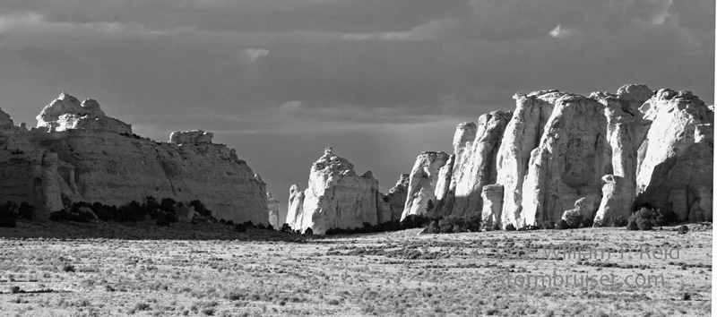
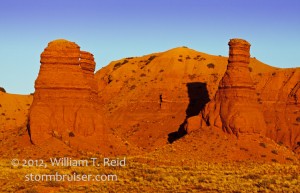
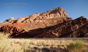
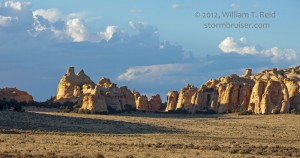
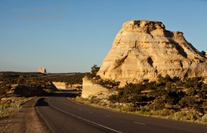
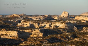
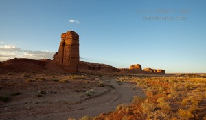
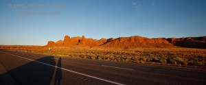
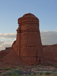
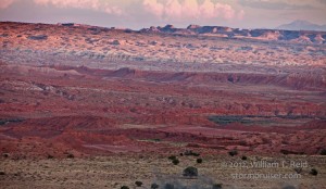
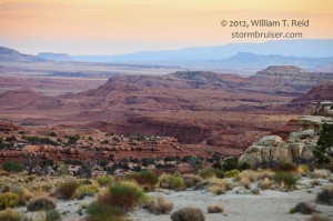
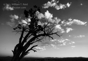
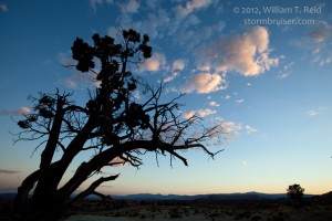
The chase season is over for me, and I began my drive back to L.A. from Denver along I-70.  I got out of Denver around noon, and reached the beautiful landscapes of Eastern Utah late in the day.  The San Rafael Swell area is an “elevated” anticline region (hence, it “swells” above its surroundings) chock full of mesas, canyons, ridges, and other intriguing features.  All of these images were taken in Emery County, between Green River and Salina.  Are these the swellest swell photos you’ve viewed all day or WHAT?


Filed Under: 2012, Desert, Landscapes

Leave a Reply

You must be logged in to post a comment.

Search

June 2012
S M T W T F S
 12
3456789
10111213141516
17181920212223
24252627282930
« May   Aug »

Categories

Archives

Copyright © 2025 stormbruiser.com · Log in