Ah, yes…the quaint and empty and nostalgic roads to Emoryville! Good old, rustic Emoryville…but where is Emoryville?
Well, I am going to make you read a little more before I tell you that it is in the Bay Area. But the area by which bay, you inquire? San Diego Bay? Santa Monica Bay? Coos Bay?
Again, you’ll have to continue for a bit before learning that this bay area in question boasts the community where there is no there there. And where is the starting point to this Emoryville along which some roads are quaint and empty and culminating near a bayside community where the there is not to be found?
Do you really expect me to tell you right off the bat that the journey’s starting point was from my home in Westlake Village?
Does everything have to be so cut and dried? Don’t you think that there should be some unknowns and intrigue in the antecedent dialogue? What fun would there be if every fact and detail were made obvious from the very beginning?
I had a couple of days free during October’s final week, and I elected to visit a friend up in Emoryville. The distance is about 400 miles, or about a six-hour drive. Your typical motorist might look at a map and head over to Interstate 5. He or she could then outrace the cops at 95 mph through a seemingly endless expanse of exceedingly un-noteworthy scenery, assuming that notes could be taken during the drive. Among the highlights on this stretch from Wheeler Ridge to Livermore are the exit signs for side roads to Lost Hills, Kettleman City, and, of course, Five Points. Yes, the actual signs are more interesting than the landscape. Some bleak and uninteresting landscapes can be, uh, not entirely uninteresting. Such is not the case for this stretch along the west side of the San Joaquin Valley.
Another motorist might look at a map and say, hey, let’s not waste time and money backtracking 20 miles to Interstate 5. Why not just jump on U.S. 101 which goes right up into San Jose with an easy diversion to Emoryville? And along the way, if there are no trucks blocking the view or drifting into my lane, I might see the side of an old mission! A perfectly sensible option, I would offer.
Your somewhat adventurous motorist might opt for the scenic coastal route, Highway 1, from San Simeon to Big Sur and Monterey. This would easily add a couple of extra hours to the drive compared to I-5 or U.S. 101.
Which route or routes would your favorite web publisher take? Well, I was leaning towards Highway 1, but I have been on that a couple of times in the past. If I had utilized Highway 1 in the future, then I would have pictures to show for it. I wanted roads to Emoryville that were new to me. I wanted roads that were pretty. And ugly. And relaxed. And fun. And picturesque. And empty. Really empty! And I found them! I found roads on which I saw no more than a handful of other travelers for an hour or more! How many folks can say that they made a daytime drive from the L.A. area to the Bay Area, and for about five or six hours they didn’t have to compete with any other traffic and they could stop just about anywhere and wander out onto the road with no concerns whatsoever? I suspect that very few travelers can say that, especially the ones without speech capabilities, and/or without motor vehicles.
So, what is the deal with all of this unnecessary blabbing, Bill? Let’s get to the images! Okay, okay, hang on a second! Just how good would a photo essay on the Empty Roads To Emoryville be if I just started out by listing the routes that I took — BANG BANG BANG — there is the route list for you BIG WHOOP! You wouldn’t appreciate the routes at all. Now that you have invested all of this time on the build-up to the list of the routes, however, you are on the edge of your seat to learn the names, to see how this long-winded individual chose to drive halfway up the state to reach a town that you have never heard of before.
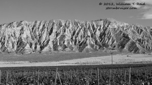
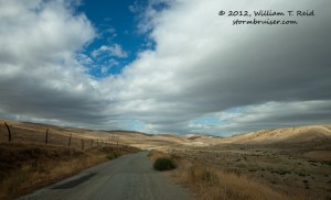
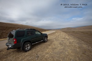
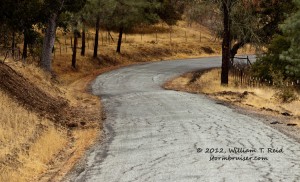
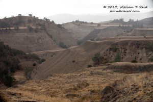
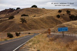
The drive began on the Ventura Freeway, also known as U.S. 101. After about a half hour, at Ventura, I exited onto State Highway 33, northbound to Ojai and up into the Ventura County mountains. Highway 33 is somewhat steep and windy as it makes its way around the west side of the Topatopa Range to Pine Mountain Ridge. Highlights include steep and narrow canyons along North Matilija Creek and the wilderness area around Sespe Creek. After the summit, near 5084 feet elevation, Highway 33 soon straightens out considerably on the descent along the Cuyama River into the Cuyama Valley. It is strange to me that a river could cut such a straight path (about 15 miles long) into such rugged terrain. The road forays briefly into extreme northeastern Santa Barbara County, passing the community of Ventucopa. A mile or two later is the Ballinger Canyon area, and the bleak and highly dissected ridge to the east presented the first decent photo op.
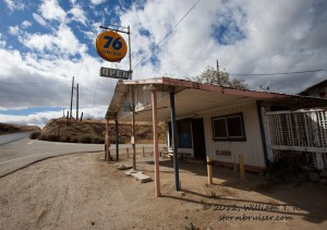
The first image is how this area looked before Color TV was invented. Just to the north is the San Luis Obispo county line and Highway 166. I backtracked to the east here just a little, into Kern County, in order to hop onto Soda Lake Road. The junction of these two routes is called Reyes Station, where an old and closed filling station remains. The large “open” sign fools hundreds daily.
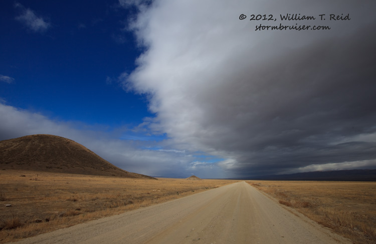
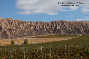
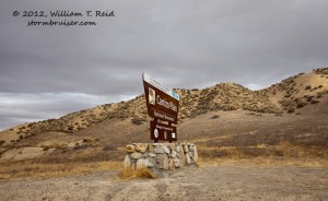
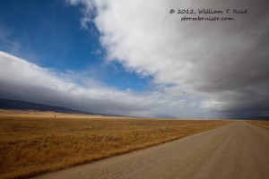
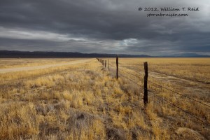
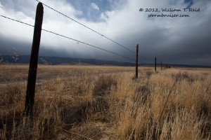
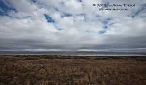
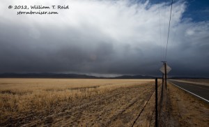
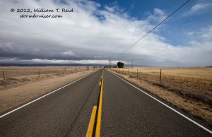
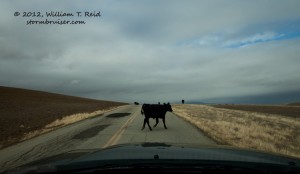
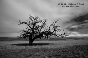
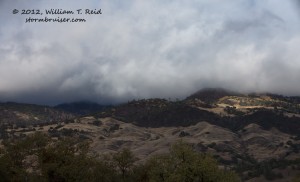
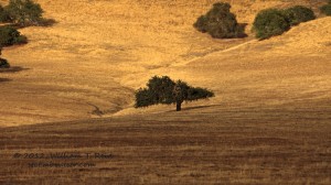
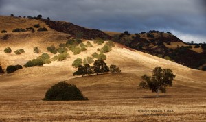
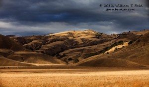
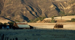
Soda Lake Road quickly takes one back into San Luis Obispo County, our fourth change in counties in under 20 miles. This road alternates from paved to unpaved on the descent through the Elkhorn Plain and into the wide, remote and empty Carrizo Plain. Traffic is non-existent. To the north is the San Andreas Rift Zone and the Temblor Range, and to the south is the barren Caliente Range. A frontal system was nearing the area, and low clouds and mountain showers allowed for some fun with the camera.
Soda Lake is a mostly dry and white bed of salt deposits, and is visible in the last image above. East-west Highway 58 runs through the north edge of the Carrizo Plain, and the community of Simmler is near its intersection with Soda Lake Road. There are a few buildings and farmsteads around here.
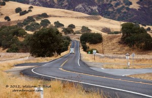
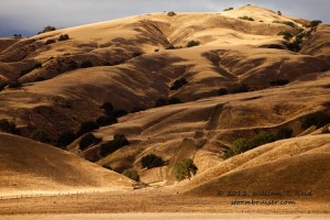
Highway 58 is a fairly major connector route between Bakersfield and San Luis Obispo, and I was anxious to get off of it and onto the next Empty Road To Emoryville. Fortunately, the next option north came quickly — the Simmler-Bitterwater Road. This road roughly runs along the San Andreas Rift Zone and the Temblor Range, through Bitterwater Valley and Palo Prieto Canyon. (There is another “Bitterwater” community, lake and valley farther to the northwest, in San Benito County, but this “Bitterwater” is along the Kern/San Luis Obispo county line.) The scenery generally transitions here from barren and bleak to more grass-covered rolling hills and oak trees.
The road is paved and lined, but only one or two other vehicles were noted in about an hour. At Highway 41, which connects Paso Robles with I-5 and Fresno, I stopped at the cafe at Cholame for a burger and fries. There is nothing much to Cholame except for this cafe, apparently. The “town” is somewhat famous because the nearby junction of 41 and 46 is where James Dean died in an auto collision in 1955.
This was close to the halfway mark between home and Emoryville, and I had to keep moving. The time was about 3 p.m., and I had one more deserted road to travel. I took 41/46 west to the 101 at Paso Robles, and then north to San Miguel. It was not fun sharing the road with all of these other folks! At San Miguel I found Indian Valley Road. This narrow but paved road heads north into Monterey County, amidst low-to-medium rolling hills and even some decent-sized mountains to the east. Indian Valley Road changes to Peach Tree Road, and at Highway 198 in Peach Tree Valley the road is upgraded to State Highway 25.
Traffic ticked up slightly, from practically nothing to the occasional vehicle, along Highway 25. The little community of San Benito featured a few farmsteads in a small and quiet valley. North of there I passed by the Pinnacles National Monument. It was getting dark and there was no time to check it out, unfortunately. Traffic picked up considerably as I passed through Hollister and and Los Banos, and up to San Jose, Fremont and the congested Bay Area cities. I spent about 10 or 11 hours to get to the Bay Area, with numerous photo stops. I bet that you didn’t know that you could drive from L.A. to San Francisco or Oakland, and see so few fellow motorists! Just don’t plan on getting there in a hurry via the Empty Roads To Emoryville!

Leave a Reply
You must be logged in to post a comment.