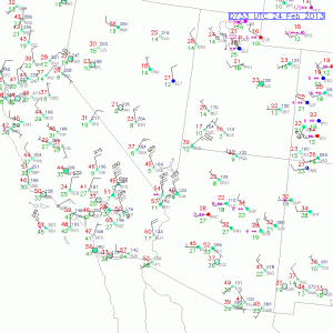
Unfortunately, I was not out in the desert to have my vehicle sandblasted for no charge on this evening. Wind gusts in the western Mojave Desert reached 76 mph at Five Mile, along U.S. 395 north of Indian Wells, and 61 mph at Laurel Mountain, near Randsburg, between 10 and 11 p.m. In the I-5 corridor northwest of Castaic, Whitaker Peak showed a gust of 80 mph from the northwest. These winds were behind a strong cold front and courtesy of a sharp upper-level wave moving south and southeast through the Death Valley region.
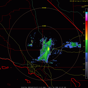
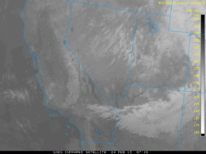
The loop of the Edwards doppler radar is very intriguing this evening, as it shows a persistent stream of echo returns blasting south and southwestward from a couple of points not too far to its north and northeast. Some of the returns near the “source points” are greater the 50 dbz! The infrared satellite image shows an east-west swath of clouds extending eastward from the Barstow area, but nothing shows up which mimics the Edwards AFB radar return (see images below). So, unless a couple of volcanoes are forming here, this must be due to large clouds of dust being raised by the strong north winds —- generally in an empty area about 25 miles north of Barstow, near Opal Mountain. The dust clouds were even picked up by the Sulpher Mountain radar (in Ventura County) as the they quickly moved southwestward over the San Fernando Valley and Malibu.


Leave a Reply
You must be logged in to post a comment.