On this Monday several friends and I moseyed into Death valley for some fun and photography. Tom Tascone was especially interested in experiencing the very dark night skies out here. We chose a night with a new moon, and Comet Pan-STARRS might be visible shortly after sunset. Skies were nice and clear for the most part, wind was very light, and temperature was as high as 82F at the dunes near Stovepipe Wells. Conditions could have not been more pleasant!
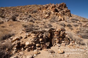
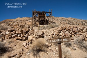
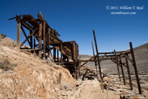
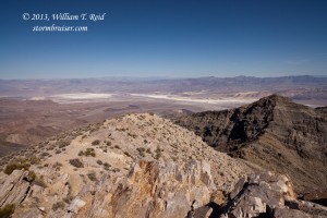
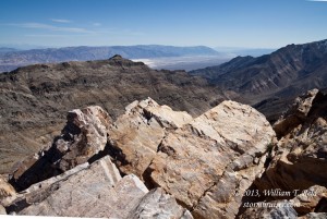
I elected to take the shortest route into Death Valley, via Mojave, Trona, the Panamint Valley, and Wildrose Canyon. We poked around the ruins at Cashier Mill and Harrisburg, and continued to the western edge of Death Valley, at Aguereberry Point.
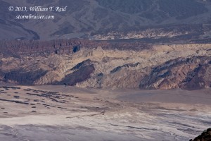
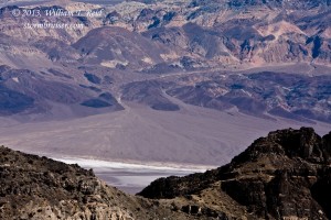
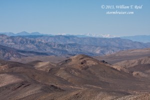
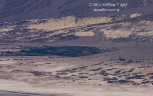
The zoom shots below, from Aguereberry Point, show alluvial fans and mountains along the east side of Death Valley. The Furnace Creek Ranch and Furnce Creek Inn are along Furnace Creek Wash.
From here we returned to Harrisburg Flats and Wildrose Canyon Road, north to Highway 190 and east into Death Valley. Monica and Alok were intrigued by the dunes near Stovepipe Wells, so we spent some time on the east side of the Mesquite Sand Dunes. It is next to impossible to take a bad picture in Death Valley when the sun is fairly low in the sky.
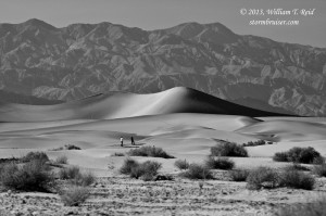
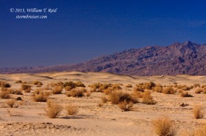
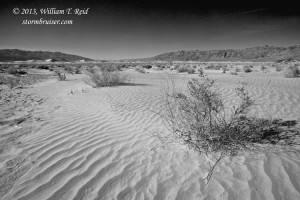

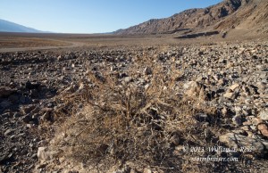
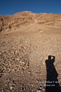
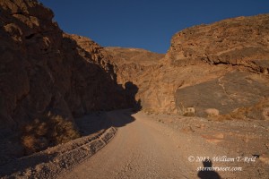


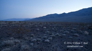 From the dunes we headed north on Scottys Castle Road, with a stop alongside a steep alluvial fan and at Titus Canyon. As sunset approached, we found a location near Mesquite Spring Campground for our comet and stargazing session.





Leave a Reply
You must be logged in to post a comment.