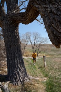
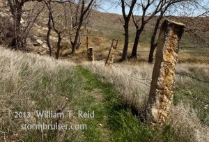
Rob Petitt and I and the Tour 1 folks had a fun chase on this day. The tour began two days prior in Arlington, TX, and there were no storms to chase on Sat and Sun. On Monday we awoke in Jetmore, KS, and moisture was returning to the Southern Plains again. Dew points in the 50s were surging northward into OK, beneath healthy westerly flow at mid-levels (50 knots at 500 mb). A COLD cold front was plunging southward through western KS and eastern CO during the afternoon, towards a low pressure area near the OK Panhandle. Convection was anticipated near and east of the low by sunset. There was a dry line/triple-point play down near Woodward, but I felt a little more comfortable along the KS/OK border, along a weak surface trough. If storms went up early enough, then the strong winds aloft should carry them away from the cold air that was plunging south through W KS. Supercells looked like a good bet, but moisture was a bit too marginal to allow much of a tornado threat. SPC drew a slight risk over much of western OK and south-central KS. We had plenty of time to kill on the easy drive south from Jetmore. We checked out Big Basin and St. Jacob’s Well in Clark County, and lunched at the Ranch House Restaurant in Ashland, KS.
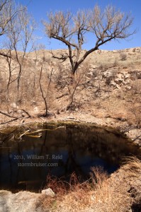
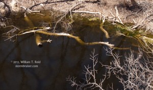
A bunch of giant man-eating turtles were sitting on the long branch in St. Jacob’s Well. Given the anticipated high-based convection, Rob enhanced local humidity levels nearby.
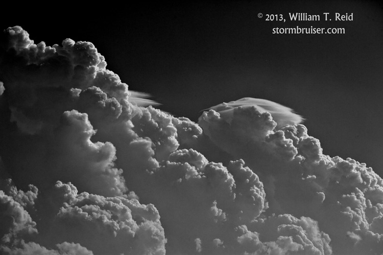
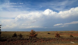
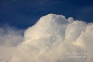
Around 5 p.m., storm towers were developing in a cumulus field in the vicinity of Ashland and Coldwater, just to our north; and west of Woodward, well to our southwest. I stuck with Plan A and headed east on U.S. 64 towards Alva to stay in position. If something got strong and started rotating, it would likely head ESE or SE into Oklahoma through the road void of Comanche County, KS.
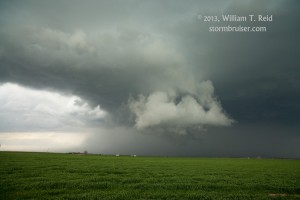
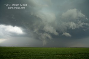
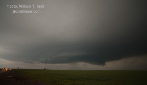
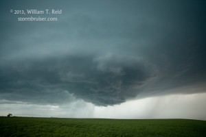
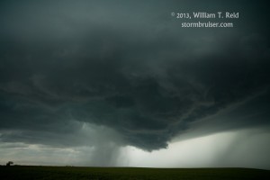
A supercell developed to our NNW and headed ESE towards the KS/OK border north of Alva. A large wall cloud loomed beneath the base upon our approach from the south, but it did not exhibit much rotation, and cool air was undercutting the base.
Dust plumes flew southward from the RFD area, and we kept pace with the storm base on Route 11 in northern Alfalfa County, towards Burlington. The supercell’s forward flank precip was surging southeastward, though, and we and it arrived at Burlington at the same time. I could not make the next paved road south in time. A couple of hailstones hit the van — some of those on the road were a little more than an inch in diameter. I directed Rob to the very convenient convenience store/gas pump protection in Burlington. We were able to enjoy the 15-minute hail barrage without worrying about the integrity of the vehicle.
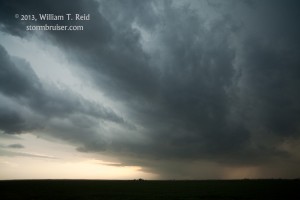
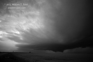
Our supercell cleared the town to the southeast, and a new supercell was in view to the west. I elected to intercept that one, and it gave us a nice structure show near Carmen, OK, around sunset.
We stayed with the Carmen cell to Enid — the lightning show was decent but the cell was in a slow weakening trend.
(Following is my original brief write-up for this chase day.)
We began the day in Jetmore, and waited near the KS/OK border south of Coldwater for storm development in the mid-afternoon. This worked out well, and we managed to attach ourselves to the supercell north of Alva early on. A large wall cloud hung below the base, but the storm was undercut a bit by cool outflow from its precip. The cell moved ESE towards Burlington, OK, and we were unable to reach the south option (4 miles east of the town?) before the hail core descended upon us. We quickly found cover for the van at a gas station, and were treated to about 15 minutes of deafening hail. Most stones were penny to quarter, some about half-dollar sized. The main E-W road through town was flooded, and heavy hail fog formed.
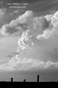
This first supercell continued to the ESE, but we were now out of position. A new supercell was only 30 – 40 miles behind the first one, though (and coming right at us!), so we observed that one for the next couple of hours, until it died northwest of Enid around 10 p.m. This second one sported a large lowered area for quite a while and some moderately interesting low-level banding near Carmen.
Today was quite nice compared to last Wednesday —- we saw no other chasers until about sunset.

Leave a Reply
You must be logged in to post a comment.