
(posted on May 4, 2013)
youtube video of Elk City/Dill City supercell
We had a great chase on Friday, April 26th, as we tracked a supercell from Elk City to Cordell, OK. Storm structure was fabulous near Dill City.
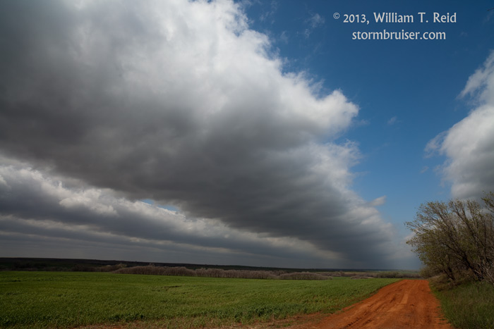
We began the day at Perry, OK, with a target near Clinton, OK, in mind. We were under some long and narrow “gravity-wave” clouds midday. These indicate good wind shear at lower levels of the atmosphere, and often portend good things for chasers later. We stayed with the first cell of the day from near Cheyenne to Leedey, OK, along Hwy 47. This looked “okay”, but seemed to be a little stretched out, cool and out-flowish.
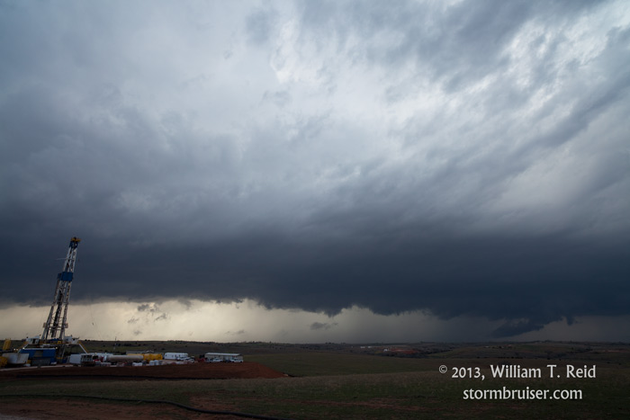
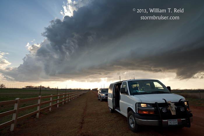
A new storm was getting going to our southwest, near Elk City, so I decided to mosey south on 34 to the town. We cut right in front of the cell, and it was quickly ramping up to supercell status.
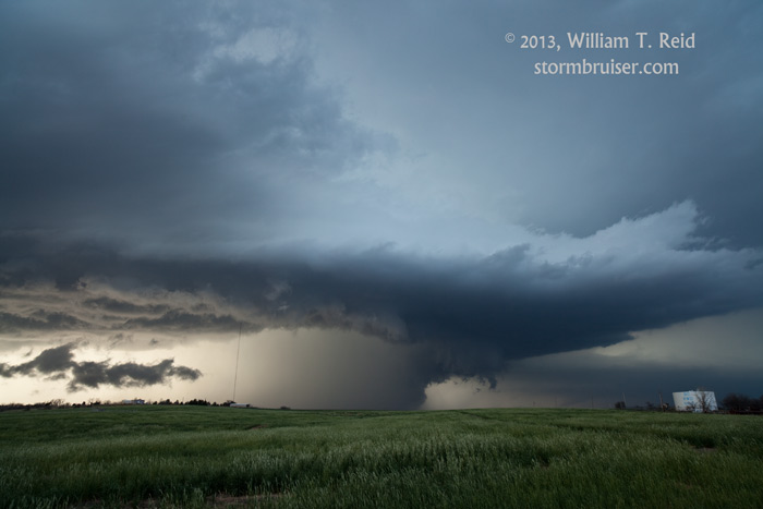
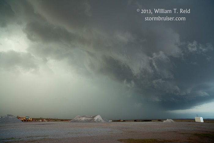
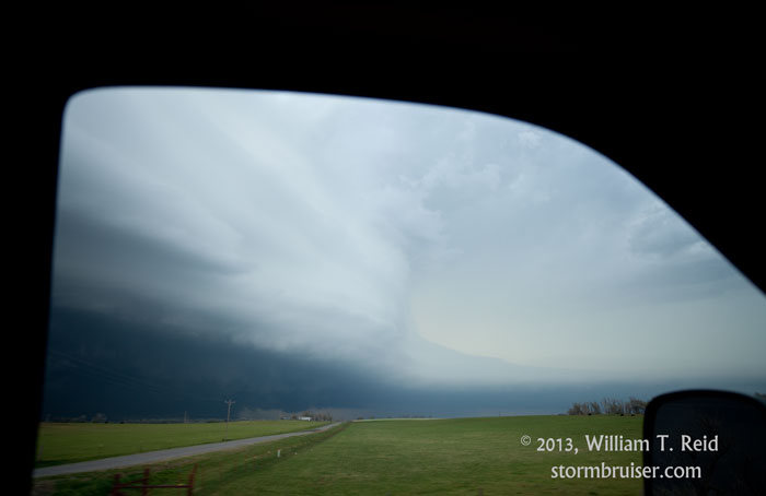
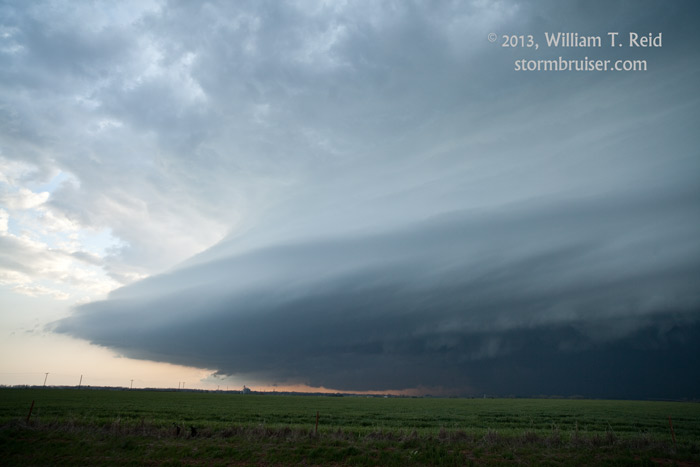
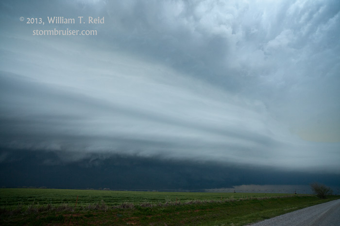
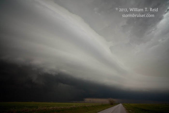
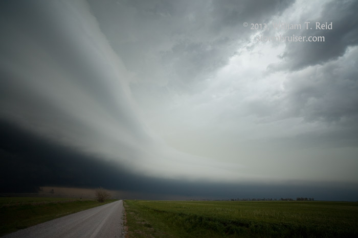
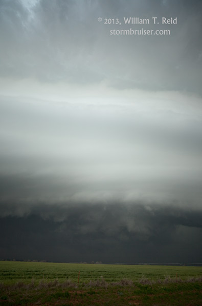
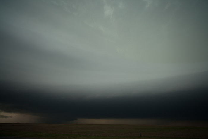
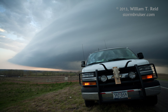
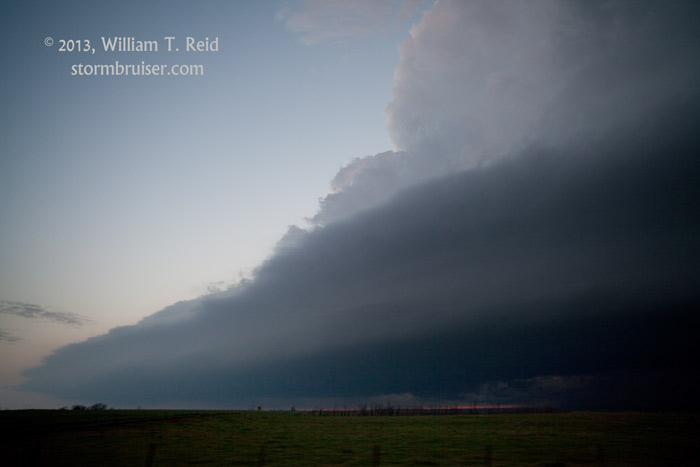
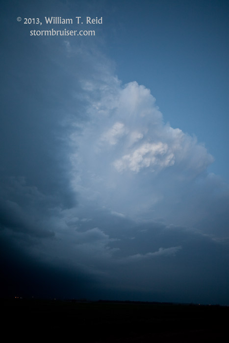
The supercell was off to the races to the east, or just south of due east, near I-40. The storm was already a big HP (high precipitation supercell), and we were south of the precip core. It didn’t look like much of a tornado-making candidate, so we dashed east on 152 to get ahead of it and to see what the structure looked like. We were not disappointed! Near Dill City, we stopped and marveled as the tremendous striated updraft dominated the sky from SW to W to NW, and with a beautifully flanged inflow band to our north.

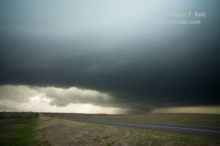
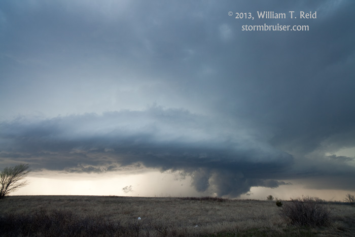
The supercell tracked ESE towards Cordell where it seemed to reorganized or re-developed southeastward. We dove south in front of the updraft base along 115 to Mountain View. There was an action area to our west, but no obvious low-level rotation or funnel clouds. We got south of the storm and stopped to watch the lightning in the anvil and updraft area, but low clouds on the SW flank of the cell interfered after a few minutes. The storm continued to move quickly to the SE and ESE, towards Anadarko. We let the thing go as it was now dark, and we headed to Vernon for the night. The storm caused damage to parts of Anadarko —- maybe a tornado.
Leave a Reply
You must be logged in to post a comment.