
(posted on May 4, 2013)
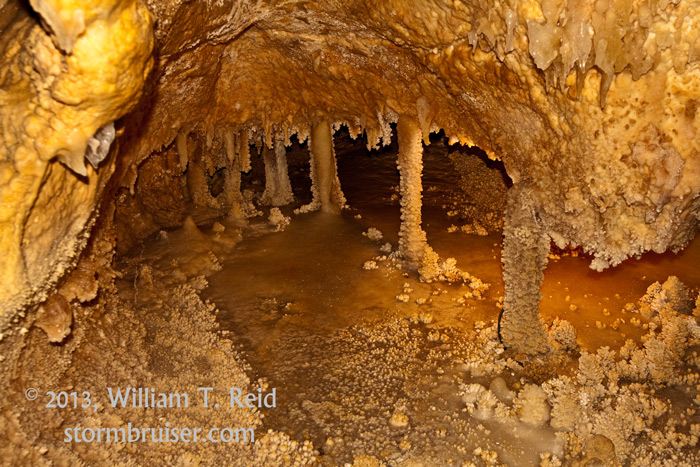
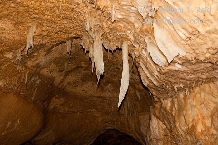
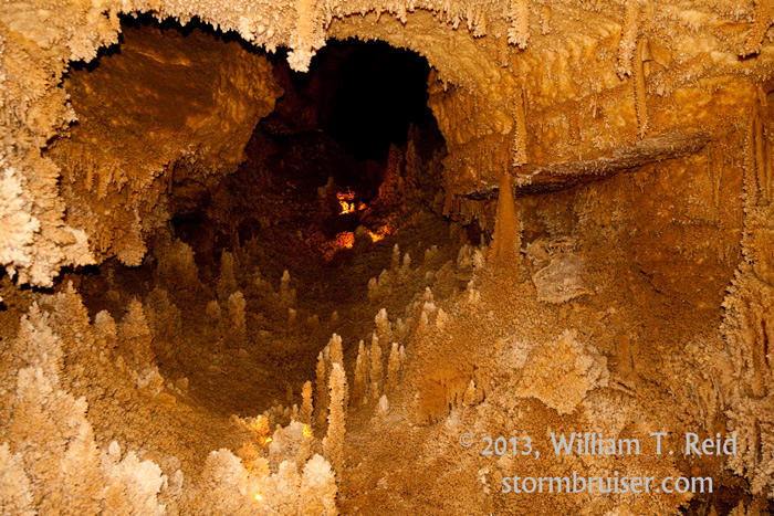
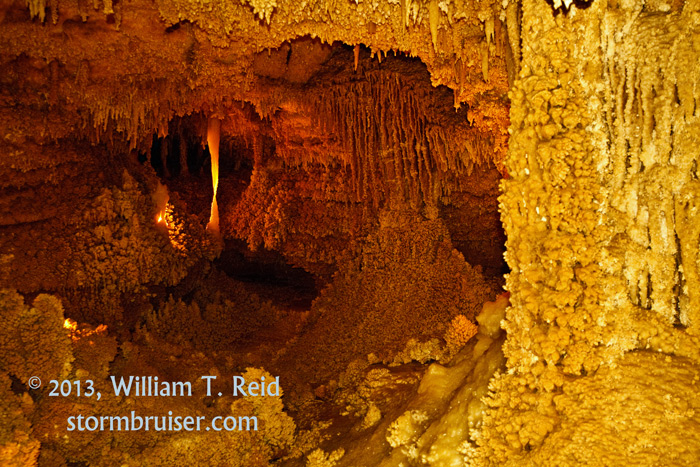
Our tour group, with Rob Petitt as my driver, was down to its final two chase days, and the pattern was rather blah. Tornado and supercell prospects were bleak, but there was enough moisture and shear along the Rio Grande in southwest Texas to provide some hope for an interesting day. We left Rocksprings and drifted into Sonora, generally looking at the area between the river and Interstate 10 again. With quite a bit of time to kill, we visited the fabulous Sonora Caverns.
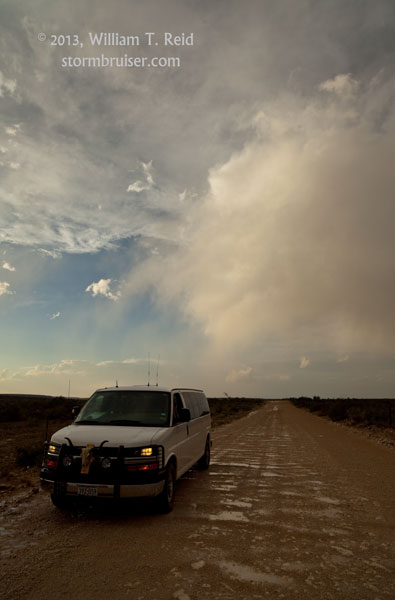
From the caverns we headed west to Ozona, and then a little farther west on I-10, and southwest to Sanderson. Some high-based cells were in progress west of Sanderson, and we got in front of these along U.S. 90. The light was mediocre, but the lightning was active enough and we tried to catch it with the cameras.
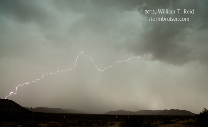
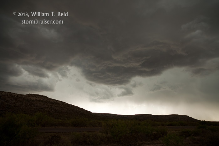
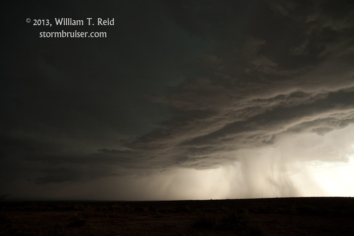
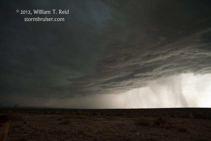
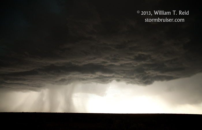
As we rolled into Sanderson, a cell really perked up to the south of town by perhaps 8 to 10 miles. We scooted ESE to a nice high point to view the storm. The cell was quite electrified, with a rather heavy core and stark contrast with the low sun shining beneath the black and ragged storm base. The storm drifted northeastward towards the highway and our location, but weakened considerably. We went back west a tad and caught some half dollar-sized hail. The warning forecaster at NWS Midland thanked me for the hail report, and said that the storm was a “monster” on radar briefly when south of Sanderson, and figured that the hail with it was as large as baseball size.
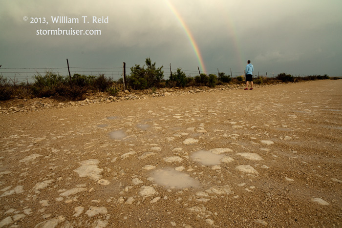
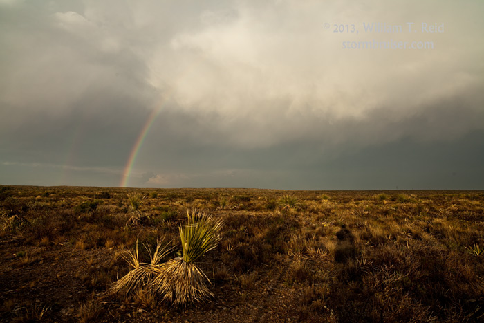
We went back to our high point for the obligatory rainbow stop, and headed back to Sanderson for the night.
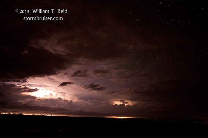
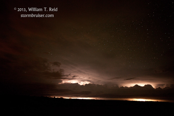
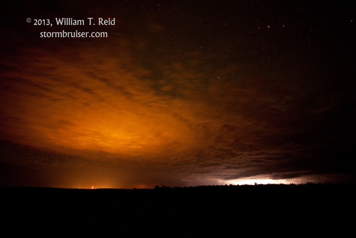
But wait, there is more! Evening storms towards I-10 edged southward towards the river, primarily to our northeast. Jeremy and I went back to our high point to watch the lightning show beneath the stars. A strong cell well to the east had some frequent lightning with it, and we learned the next day that the town of Comstock had two inches of rain and a great electrical display. I wish we had been there!
Leave a Reply
You must be logged in to post a comment.