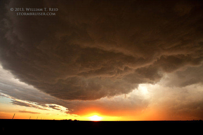
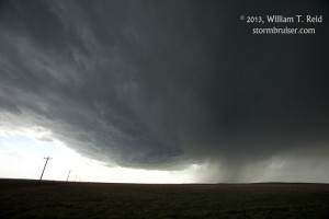
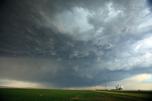
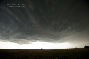
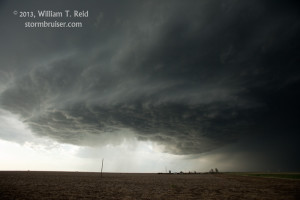
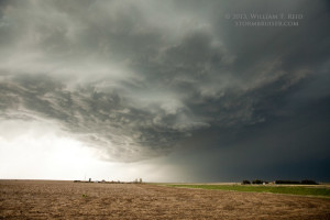
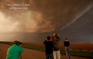
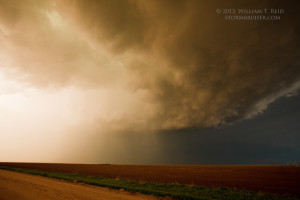
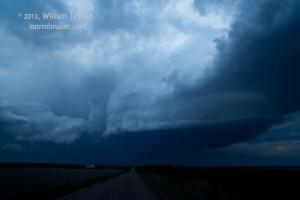
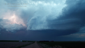
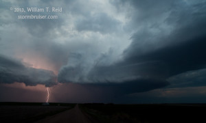
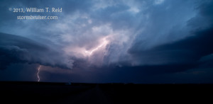
Moisture was finally returning to the Plains, and shear today looked good in western KS. We waited for development near Dighton, and found ourselves on a very nice, slow-moving supercell between Dighton and Ness City for several hours. The base was a classic horseshoe shape, and towards sunset it looked like a tornado might be in the making, but the storm was unable to pull it off. Our group photographed a brilliant lightning display as the storm edged off to the east while I phoned for rooms in Dodge City.
The view for the last four images above is looking to the east as the supercell tracks away from us. The laminar base towards the right is associated with an anticyclonically-rotating updraft — it is on the south side of the RFD cut.


Leave a Reply
You must be logged in to post a comment.