Our Tempest Tours chase group began this chase day in Abilene, with a target area not too far away: a county or two or three to the north of Abilene. We watched a mid-afternoon storm go up near Anson, TX. It looked good for 15 minutes, and then went downhill fast. We were left with nothing…except for new convection going up about 80 miles to our east. I almost elected to call off the chase or hope for something new and easy to catch later, in the western part of the severe watch box, but the storm towers to the east looked good and were not moving east too quickly. It was about 5 p.m., with plenty of daylight left. One cell between Breckenridge and Mineral Wells was due east of us, right down U.S. 180. We were in Albany, more than 60 miles away, but we pressed eastward with the faint hope that we could get close to the rear end of the supercell.
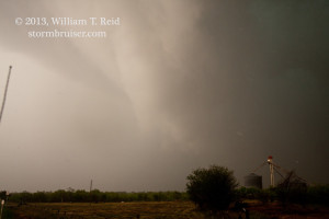
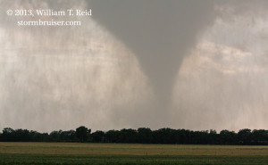
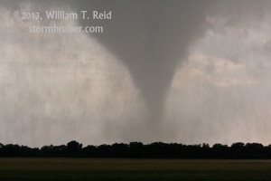
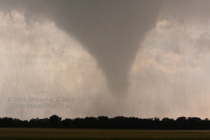
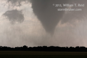
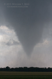
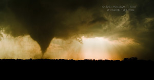
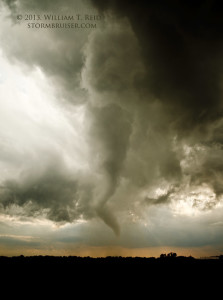
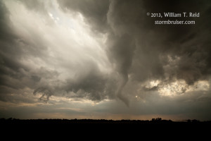
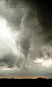
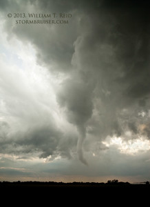
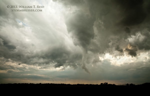
Near 7 p.m. we cruised through Mineral Wells, which was littered with baseball-sized hailstones, some larger. Folks were just coming outside to check for damage. A good-looking meso was just southeast of town —- we had made it! I wasn’t sure whether to head east or south from Mineral Wells — the east road led into the core — not good — the south road might work for a while. At the last second I found the road which led southeast to Millsap, which was perfect! We came right up to the tightly wound-up mesocyclone area. There was no tornado yet. We started first east from Millsap, but then switched to Fairview Road, I think, which heads roughly east-southeast from Millsap. About a mile or so from Millsap, rapidly rotating rain curtains were circulating around a funnel cloud just to our south —- no more than a mile away. Seconds later some debris was kicked up, and I was concerned that the thing was headed for us! My van scooted east a half mile and found a great view of the tornado to our west. We were able to stay and watch in relative comfort, as the tornado actually moved slowly to the west and northwest.
Later, this storm and a second one produced larger tornadoes which have caused injury and death south of Fort Worth, unfortunately. Our group rode out a hailstorm in Cresson around 9 p.m. and we found a motel in town to unwind.
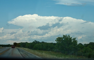
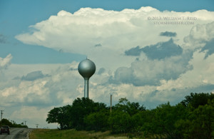
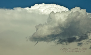
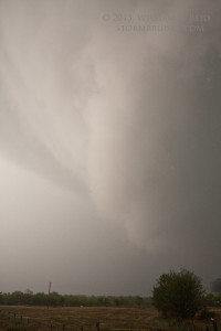
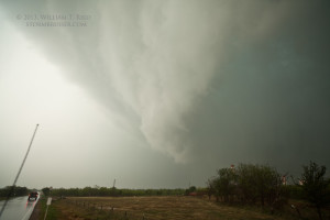
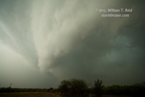
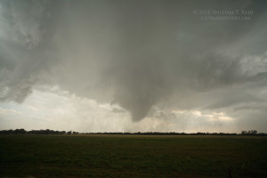
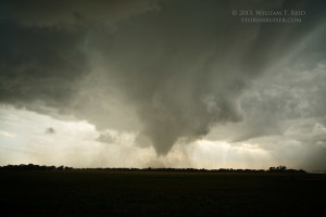
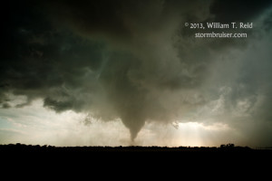
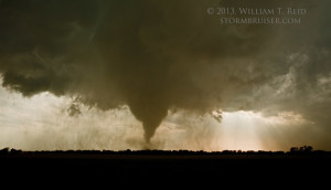
The four images above are looking east to southeast, and show the north side of the large low-level mesocyclone. The tornado formed to our south, near the middle of this circulation.
The images of the tornado above were taken with the 70-200mm lens, and the ones below were with the 21mm wide-angle. The view is to the west, from the N-S segment of Fairview Rd., about 1.5 miles from the center of Millsap.


Leave a Reply
You must be logged in to post a comment.