

Our day began in Goodland after a long drive on the 16th, from Abilene, TX. My notes say that we looked at a storm in eastern Baca County on the 16th, but it was forgettable and I did not photograph it.
SPC had a slight risk in western SD on the 17th, with a lobe of slight extending south into the northwestern part of the Nebraska Sandhills. We motored northward on 61 from Ogallala to Merriman, and came upon a few weak storms to the west and northwest. This was junk city. A tornado was reported with a storm out west — near Chadron — but nothing near us looked good. It was still on the early side, maybe 5 p.m. or so. There wasn’t much choice except to drift south into uncontaminated air to try to salvage something before dark, though that took us out of the slight risk area.
Highway 27 took us from Gordon to Ellsworth. There was a junky cell or two to watch along the way. By the time we reached Highway 2 near Ellsworth, a discrete cell or two began to show some structure. One of these, just south of Highway 2, chased us east about ten miles to Bingham. The storm base was rather high, so a tornado was extremely unlikely. But, the trend was good, as the storm strengthened and looked supercellular as sunset approached.
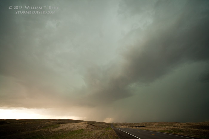
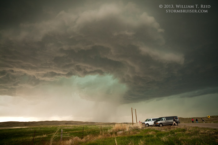
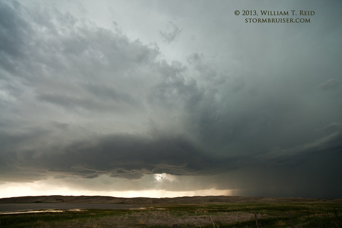
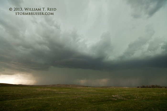
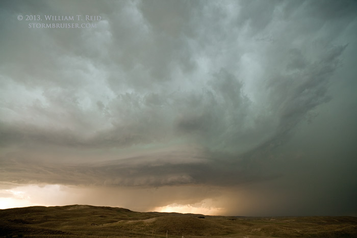
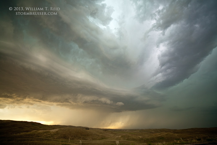
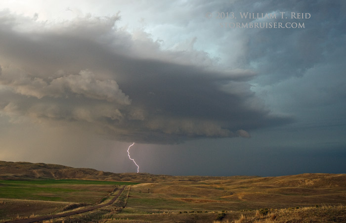
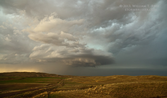
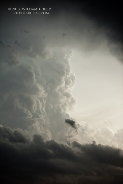
We went south on a dinky (but paved) road through the Sandhills, leaving Sheridan and entering Garden County. A new updraft to our southwest was showing some spunk, and the route afforded a decent look at the nearby supercell now just to our north. We drove for several miles. I was looking for a nice high point with a great view, and I was also interested in getting a bit closer to that updraft to the southwest. We stopped for our “sunset shoot” about 4 or 5 miles south of Bingham and Highway 2. The supercell to our north had a nice rounded base and occasional lightning. The updraft to our southwest approached and put on a fantastic show — so good, in fact, that I dedicated a separate May 17 post entirely to it!


Leave a Reply
You must be logged in to post a comment.