Well, when you chase 40 to 50 days every spring, you are going to miss a few. I missed a few big tornadoes in May, 2013, and this day hurts the most. We began the day in Ogallala, NE, and we knew one thing for sure —- we needed to be in Kansas. A large moderate risk area extended from about Hyannis, NE, to Clinton, OK. A 10-percent hatched tornado area extended from about Norton, KS, to northwest OK. The target area was not especially clear-cut, though I figured that we probably needed to get south of Wakeeney a bit. Once we reached Wakeeney, I hoped, I would know exactly where I wanted to be by tornado time!
By mid-afternoon we were headed eastward along Highway 4 in the vicinity of Ransom (south of Wakeeney), I think. There was a storm or two nearby, but these were racing to the NNE rather quickly. They were slowly organizing and looking better visually and on radar as they continued northward, but they would be difficult to stay with, and I was not overly impressed with the environment that they were moving into. There was weak low pressure at the surface near the OK/KS border, south of Dodge City. It seemed like the best area to focus on would be, or might be, the area east and northeast of Dodge City — maybe a county or two away. I was not sure.
If memory serves correctly (which is dubious as I have tried to forget this chase), we headed south from Rush Center on Highway 183. We were about where we wanted to be as far as east-west, and now I had to fine tune the north-south part. The air just to our south looked pretty good, and there was some new storminess beginning along the KS/OK border area south of Sitka. We stopped for fuel at Kinsley, and saw quite a few chasers. I was fairly content about this spot, though there really was nothing going up yet. We were northeast of the surface low — in a good spot with respect to where tornadic storms like it form! But, there were those storm cells down to our south-southwest. Sometimes it is good to be patient, and sometimes it is good to go for something that is actually something! Today, I decided to continue south on 183 to Greensburg and Coldwater, thinking that Sitka/Protection area “supercell” would be our ticket.
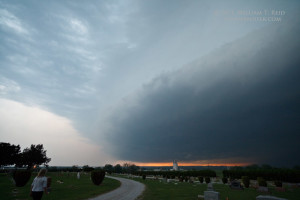
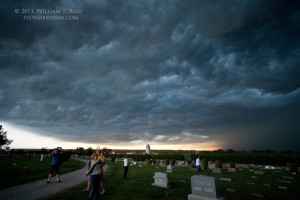
Not too far south of Kinsley there is a jog to the east. I stopped here one last time to make sure that we were doing the right thing. Unfortunately, I decided to continue south. We wound up with an outflowish junky storm near Coldwater. A cell that we saw going up not too far from Kinsley wound up producing some very pretty and long-lived tornadoes near Rozel and Sanford.
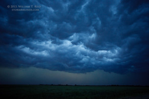
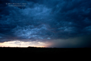
Our Coldwater storm had a cold and junky look, though it triggered some new development south and southwest of Greensburg that looked promising for a few minutes. The new development became undercut rather quickly. As we were racing eastward on U.S. 54 from Greensburg to keep from getting run over by strong to severe “junk”, the nice tornadic supercell was doing its thing just 50 miles to our north.


Leave a Reply
You must be logged in to post a comment.