

On May 21, we were on the road and in chase mode rather early, as storms were initiating by noon southwest of Wichita Falls. Well, as typically happens, early convection equaled lousy chase day. We stayed with a bunch of junky storms from about Breckenridge to Arlington, and then turned around to go back to Wichita Falls for the night. I would rather be in Wichita Falls under clear skies than in the DFW area chasing a rainy, undercut linear mess at rush hour.
May 22 was a down day, and we repositioned to Plainview, TX, for the following day. We killed a little time in and around Turkey.


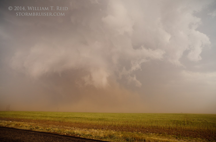
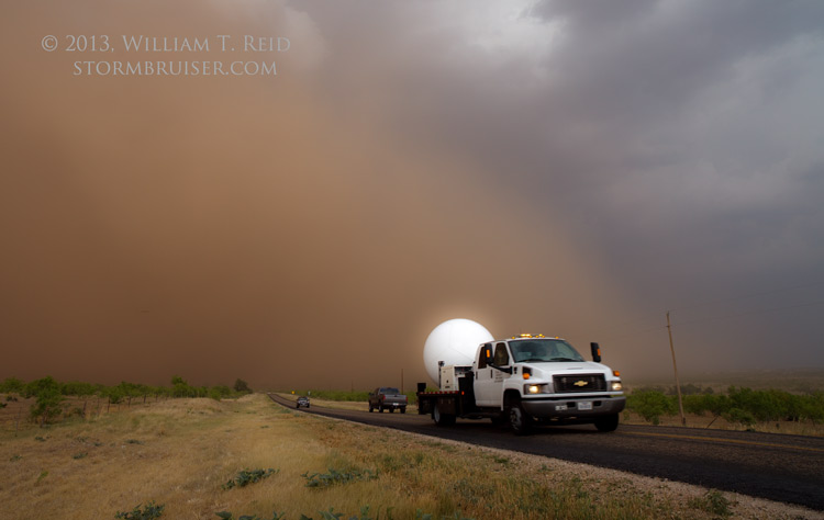
On May 23, at Plainview, we found ourselves just west of a nice and friendly moderate risk area just to our east! Storm towers started to go up in the early afternoon a county east of Plainview, and we were on these like white on rice. We observed a couple of landspout-type tornadoes to our ESE. These were east to ENE of Floydada in Floyd County. The storm wrapped-up nicely and the high base came down significantly and seemed to sport a large funnel cloud or two. But, there was plenty of RFD dust kicking up around the low-level meso circulation, and it was not clear at times as to whether a tornado was in progress or not.
We were just west of the action area. I considered trying to get southeast of the updraft base along U.S. 70, but the supercell turned hard to the right and started to move to the south. We went south and stayed close to the updraft area. But, with time, the cell became more and more undercut, and the dusty outflow increased. By the time we reached Crosbyton, it was time to give up on this cell’s tornado prospects. We went north, north of Amarillo, in case something else got strong. A handful of cells gave us occasional hope, but these sputtered. We stopped for group pictures near Stinnett, and found rooms in Shamrock.


Leave a Reply
You must be logged in to post a comment.