Link to youtube for spectacular GoPro footage of the chase by Tempest guide Chris Gillikson. This is a MUST SEE, but read my account first!
This was another big tornado day —- on which we did not intercept a tornado. But, unlike the missed Rozel, KS, tornado event ten days prior (when we were practically sitting right where the Rozel storm formed late-afternoon and elected to go for other storms farther south), this chase did not end up with disappointment. We intercepted a beautiful, isolated supercell in northeastern Colorado, that was tornado-warned for about an hour.
We left a warm and humid Salina, KS, during the late morning and headed west on I-70 for eastern Colorado. Though there was a very good chance of a supercell and a tornado this day, perhaps not too far from Salina, there was also moist upslope surface flow in northeastern CO. There was an excellent chance of a magnificent supercell on the High Plains, in perfect chase territory. The tornado risk, was, admittedly, a little better for the eastern target. My High Plains bias and visions of another Campo-like event overwhelmed any inclination of hanging around north-central and northeast KS. I had been demoralized slightly on the previous day, around Smith Center, by the hordes of chasers and by the HP/rain-wrapped supercell that we were on. We could not see the big tornado around Lebanon, and the traffic along U.S. 36 was just ridiculous. I was looking for an excuse to stay away from another mess like that.
After lunch in Hays, we continued west into Colorado and drifted north along 385, with a little clump of cumulus to our west. The clump would alternate from perky to pathetic. Meanwhile, we were getting sick to our stomachs as we watched that long-lived, nearly stationary, tornadic storm on radar — near Bennington, KS — no more than 30 minutes from where we had been when we had breakfast. Naturally, I don’t want to think about that storm again, EVER!
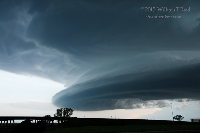
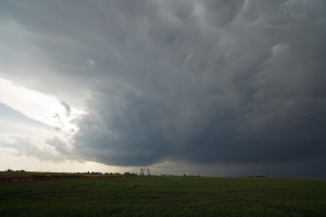
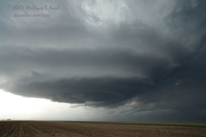
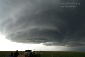
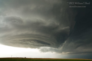
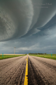
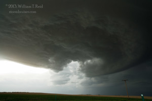
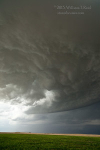
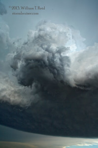
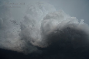
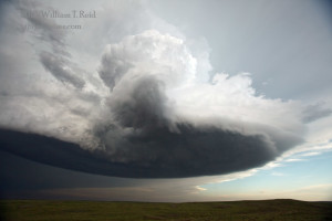
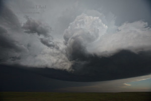
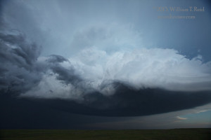
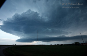
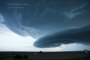
Fortunately for our group, our little cu clump began to develop nicely to our west. It was moving mostly northward near the Logan/Phillips county line. When it reached Haxtun and vicinity, a strong tower had developed a splendid, rounded base and some updraft striations. The storm was a supercell now, and it had slowed down and was moving slowly to the northeast. In the photos below, the view is to the west and the WNW. The RFD/clear slot becomes quite obvious on the back side of the updraft base. Hey, Brian, stop trying to see what’s happening to the east!
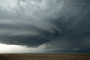
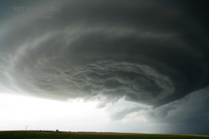
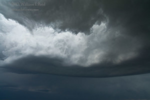
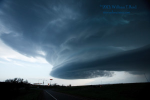
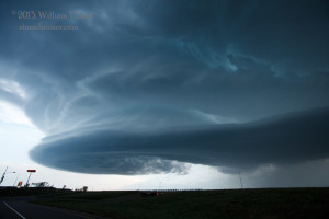
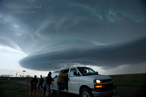
The low-levels of the storm rotated hard and the structure was very nice as it approached our location northeast of Haxtun, along highway 59 near the Phillips/Sedgwick county line. We could have moseyed east on one of the many dirt roads in order to maintain a good look at the storm structure. But, I decided to allow the base move practically overhead. The storm was tornado-warned, and any tornado now would be spectacular and nearby. The RFD area moved over Highway 59 and continued to the ENE. We stopped below the RFD cut (where 59 jogs to the east a little) and looked up at the swirling storm base and cascading cloud material —- this was really cool!
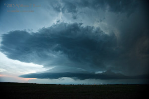
Well, the base was retreating to our ENE, and it was not in a tornado-making mood. It was close to sunset and I wanted to get another look at the structure, so we hopped onto nearby I-76 and blasted towards Julesburg (beneath the base again!). We held our breath as some golfball-sized hail fell, but we made it back out in front of the storm unscathed. Our efforts did not go unrewarded, as an amazingly sculpted supercell filled our eyes as we stopped and looked back to the west! After another stop or two near the I-76/I-80 interchange, we made one more blast to the east for another good look at structure at dusk, but the storm was weakening quickly by this time. Lightning in the cell was very infrequent. We were lured west by another batch of convection about 30 miles away, but this became linear and outflowish. It was time to head to Ogallala for the night. We were a little bummed, of course, that we missed the Bennington tornado. But, it is hard to to be bummed about our relatively relaxed and rewarding chase of a classic sculpted Colorado supercell…with zero chaser traffic around!
Don’t forget to watch the chase video by Chris G.!


Leave a Reply
You must be logged in to post a comment.