
Our group departed Ogallala late morning, not too far from SPC’s moderate risk area (Broken Bow, NE, south to Quanah, TX). SPC had a 10-percent hatched tornado risk from about Gove, KS, south to Paducah, TX. 500mb flow was from the SSW at 50 knots, and moisture was plentiful. I targeted northwest Kansas, and storms were going up nearby when we reached Atwood. These cells were trucking north to NNE very quickly, and they were unable to get really strong. By mid-afternoon, we were somewhere north of McCook, NE, staring southwest to west at a disappointing line of junk. There may have been embedded rotating updrafts, but this was neither photogenic nor fun to chase.
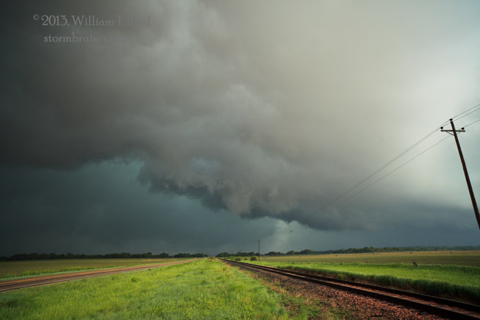
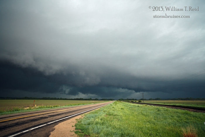
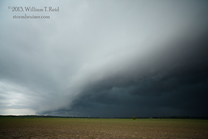
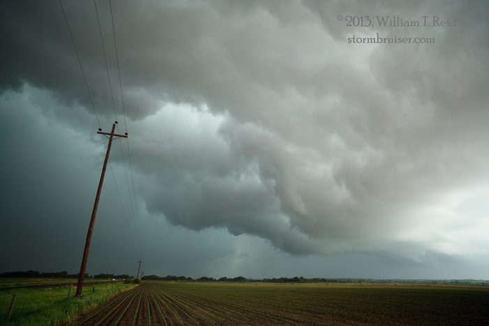
With plenty of daylight remaining, I decided to blast east to get into some sunshine and uncontaminated air. Three hours later, we were north of Grand Island, with a tornado-warned supercell to our northwest. We came up to it near Cotesfield in Howard County, and witnessed a fairly impressive wrap-up with good cloud motions. But, the cell was moving quickly to the northeast, and our road network was working against us. After a brief and futile attempt to stay close to the rainy and now messy storm, we dropped south to another one that was coming at us. This one was a dud, and we called it a chase and headed south to Hastings for the night. The four images below are of the Cotesfield area activity. Apparently the tornadic storms of the day were not too far east of Grand Island, and SPC’s tornado forecast did not amount to much.
Leave a Reply
You must be logged in to post a comment.