Stormbruiser.com

William T. Reid

  • About
  • Video Links
  • Climate
  • Categories
    • Astronomy
    • Aurora/Northern Lights
    • Artsy
    • Airports (LAX and VNY)
    • Animal Day
    • Beach
    • BEST and MOST POPULAR
    • Chase Season Summary
    • Chasers and friends
    • Cumulonimbus
    • Death Valley
    • Desert
    • Desert/Mountains
    • Elevated photography
    • Eyesores
    • Fire
    • Flooding
    • Hurricane
    • Landscapes
    • Lightning
    • Local: Conejo Valley/San Fernando Valley
    • Mid and High Clouds
    • Nighttime photography
    • Old Stuff
    • Rainbows/Optical Phenomena
    • San Nicolas Island
    • Storm Video Sales
    • Stormy Skies
    • Stupid Bugs
    • Sunsets and Storms
    • Supercells
    • The City
    • Tornadoes
    • Unusual Clouds
    • Vegetation
    • Wind and Dust
    • Winter Weather
  • Contact
You are here: Home / 2013 / May 30, 2013 Elmore City, OK, HP supercell

May 30, 2013 Elmore City, OK, HP supercell

May 30, 2013 By Bill Leave a Comment

130530_4100_Elmore-City_OK


Yippie — another moderate risk, and another 10-percent hatched tornado area outlined by SPC!  But, this was in eastern Oklahoma, and we were in Hastings, Nebraska.  There was little other choice or alternative — we had to get ourselves south!  The good news was that the 31st was looking like an Oklahoma day, too, and the guests would be delivered back to Oklahoma City on June 1.  Mother Nature was on our side, logistically.

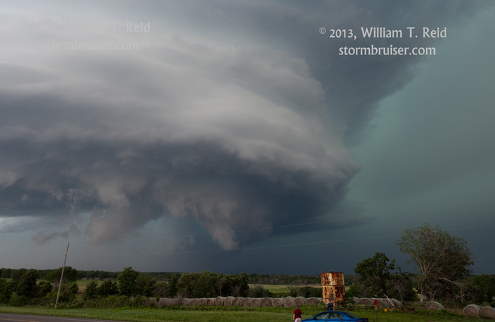
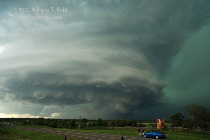
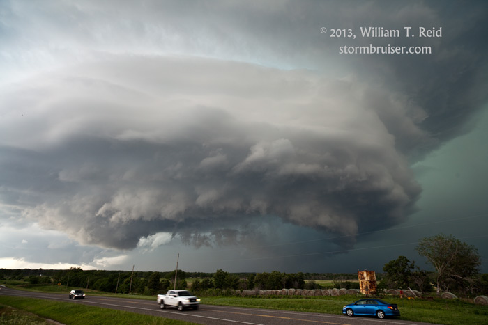
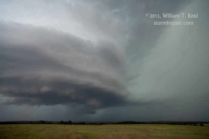
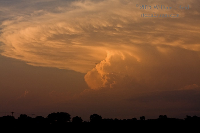
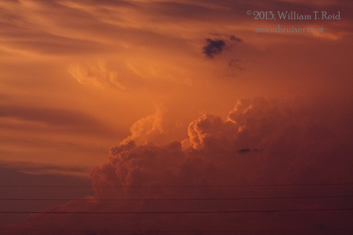
Somehow we made it from Hastings to south-central Oklahoma quickly enough to get ourselves in front of a developing supercell near Elmore City, in Love County.  (That drive was close to 500 miles.)  The storm was a beast and had impressive structure.  But, its HP nature resulted in a cloaked action area.  We stayed back a bit for structure.


130530_4091_Elmore-City_OK 130530_4098_Elmore-City_OK 130530_4100_Elmore-City_OK 130530_4103_Elmore-City_OK 130530_4108_Elmore-City_OK 130530_4115_Elmore-City_OK


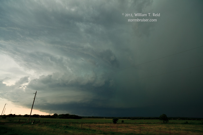
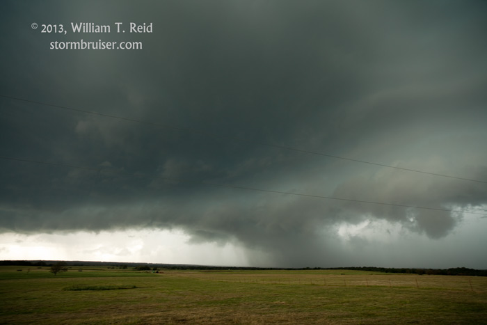
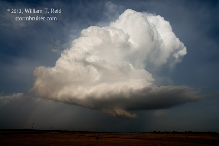
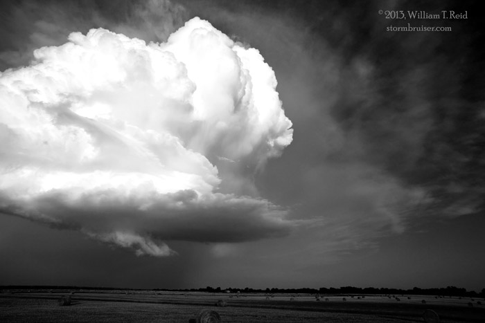
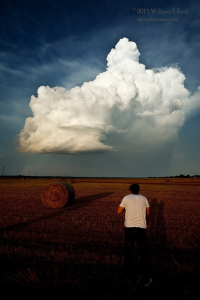
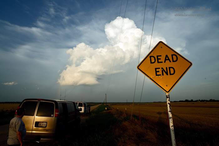
The supercell appeared to get outflowish, undercut and messy as it moved east.  We dropped south to another supercell, and killed it, and then to another one near Rubottom.  It quickly shriveled, and we headed to Ardmore for the night.


130530_4123_Rubottom_OK 130530_4125_Rubottom_OK 130530_4133_Rubottom_OK130530_2788_Rubottom_OK 130530_2800_Rubottom_OK 130530_4138_Rubottom_OK 130530_4142_Rubottom_OK


Filed Under: 2013, Sunsets and Storms, Supercells

Leave a Reply

You must be logged in to post a comment.

Search

May 2013
S M T W T F S
 1234
567891011
12131415161718
19202122232425
262728293031  
« Apr   Jun »

Categories

Archives

Copyright © 2025 stormbruiser.com · Log in