Following our Northern Lights shoot north of Scottsbluff on the 9th, we chased northeastern WY on June 10th. Moisture was in rather short supply, and SPC had a “see text” over much of the High Plains. There was practically nothing to chase as sunset approached. We wound up on some very junky high-based convection east of Wright, WY. With rooms reserved in Belle Fourche, SD, we spent a little time north of there late into the evening to shoot distant storm cells against the dark and star-filled skies.
On June 11th, my target area was around the south end of the Black Hills, near Ardmore, SD. SPC had a moderate risk splashed across most of southern SD, and mentioned the risk of tornadoes in western NE, southwestern SD, and northeastern WY. After lunch in Hot Springs, we killed some time in the ghost town of Ardmore. We watched clumps of cumulus bubble and die, and it appeared that the strong cap might turn the day into a bust. Finally, some cumulus looked a little perkier to our south, and we headed to Crawford, NE, and south on Highway 71 to the E-W split (west of Hemingford). There was a strong updraft to our southwest here, and we were in pretty good position. The paved road network was rather sparse, though, with no paved options to our south. So, we jumped onto the dirt road network in southern Box Butte County, and it worked out just fine.
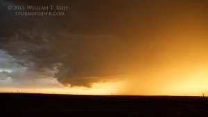
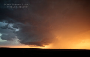
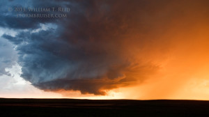
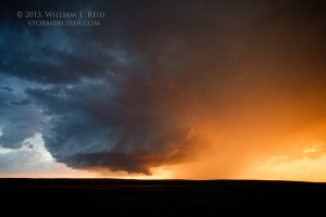
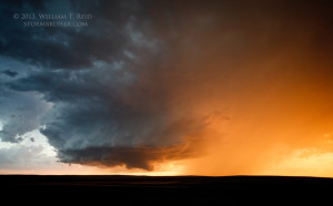
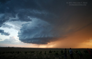
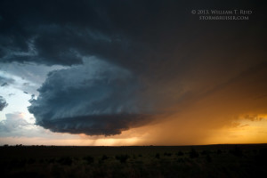
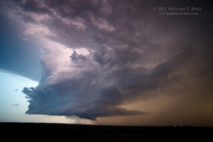
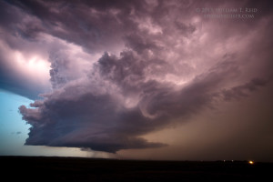
Our storm developed into a fairly impressive supercell with a persistent wall cloud! It was tornado-warned as we navigated to the east side of the updraft at sunset.
The storm was moving to the east-southeast, and it kept us on the move, too. It was a fantastic chase in the emptiness of the Nebraska Panhandle, with very few other chasers around. We had a couple of opportunities to set up the tripods and to try to catch one of the few CGs that the supercell produced, with little luck.
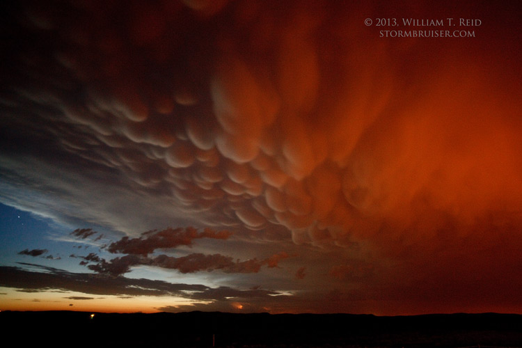
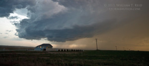
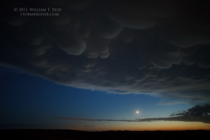
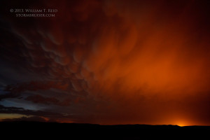
The storm was producing large hail, presumably, and when we reached Highway 385, just south of Alliance, we found some shelter for the van and let it pass. The main hail core passed to our south. We drove south a few miles to take one last look at the storm as it weakened and drifted into the Sand Hills. And, we were rewarded with a nice mammatus display, partially illuminated by the lights of Alliance!
A tornado with a rapidly spinning wall cloud was reported at 0240Z with this southern Box Butte County supercell; this was a few minutes before image 4411 above. Another tornado or two occurred with another cell near Chadron. For the most part, the moderate risk across South Dakota was a non-event.



Leave a Reply
You must be logged in to post a comment.