This chase day was somewhat disappointing, because we were unable to get to where we wanted to be thanks to a very sparse road network. SPC had a slight risk for severe over MT and adjacent northeastern WY (and a high risk across northern IL!). We began the day in Chadron, and I targeted the area from about Sheridan to Gillette in WY. The forecast and target area worked out just fine, but the road network made chasing a challenge.
Our first storm of the day went up between Buffalo and Ucross, and we were on it like white on rice. It was moving to the ENE, and I decided to stay on U.S. 16 northeast of Ucross, WY, to stay with it. But, the cell started to organize nicely and rotate hard near Ucross, and it started to move to the right, to the east. This meant that the better route to use to observe the storm was I-90. It was too late for us! We wound up driving east on U.S. 16 for about an hour, north of the cell, with little to look at due to intervening precipitation. The terrain here is empty, rough and ready —- good road options come along every 50 miles or so.
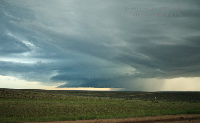
We finally managed to get in front of the supercell between Recluse and Gillette. It was weakening now, naturally! It did sport an interesting and large wall cloud, but the wall cloud seemed more interested in becoming detached from the updraft base than anything else. This was the view to the west-southwest:
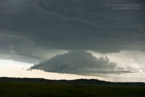
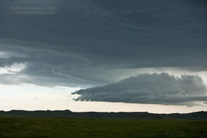
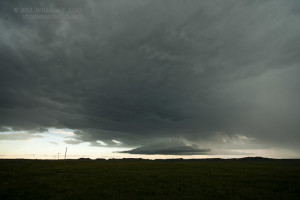
So, the storm fizzled quickly. We basically missed the best 60 minutes that this storm had to offer. We continued south to Gillette for a break, with quite a bit of daytime left. We went west again on I-90 in case something decided to get strong as it came off of the Bighorns, and something did get strong! A supercell moved east near sunset in central Johnson County, south of Buffalo by about 15 miles. We had a decent view of it from I-90, about 20-25 miles northeast of the updraft. There was no way to get closer, except for dirt roads (which were wet and ill-advised); except for taking I-90 to Buffalo and south on I-25, which would have taken more than a half hour and by the time we got there the storm would have been east of the Interstate!
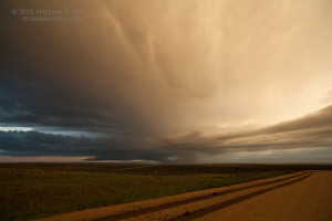
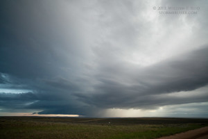
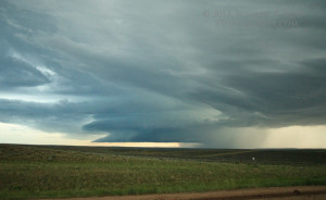
This storm had a great look on radar as it crossed I-25 to our southwest, and the look visually was not to shabby, either! I think it was tornado-warned for a bit, too. As it continued east, to our south, it sputtered quickly. We headed to Sheridan for the night. The views below are looking to the west-southwest to southwest, somewhere near mile marker 85 on I-90 (east of Buffalo, WY).

Leave a Reply
You must be logged in to post a comment.