
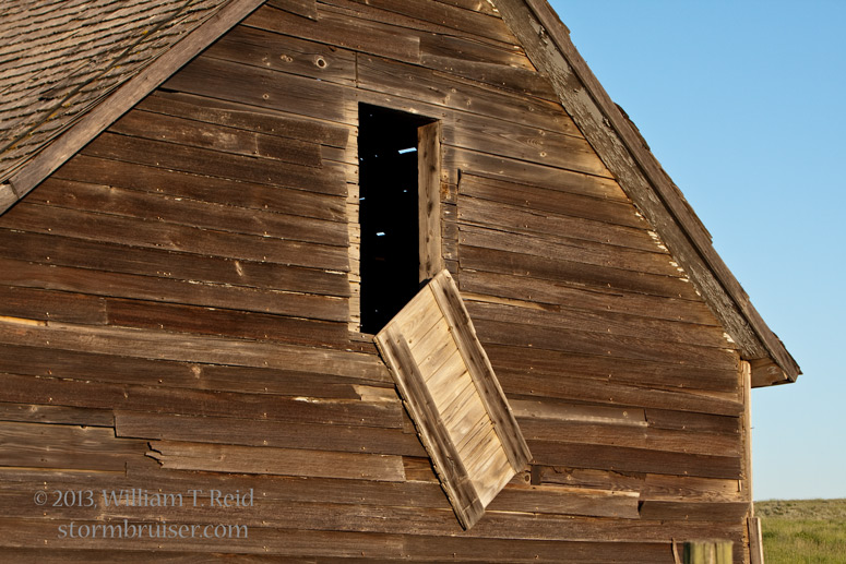
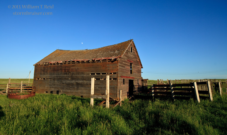
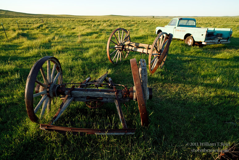
On June 2oth (the day prior to this one), we headed back into the U.S. from Swift Current. There was a risk for severe weather well to our southeast, near Bismarck, ND; but there was a lot of Montana and North Dakota between here and there. I didn’t think that the weather setup was good enough to warrant a mad dash in that direction, so the day was generally a reposition/travel day in order to be in good shape for the next day. We had lunch in Glasgow, and on our way south and southeast in the vicinity of Glendive, a fairly impressive storm tower was visible to the distant ESE, near Bismarck. (The storm was more than 150 miles away.) The time was maybe 5 p.m., enough time to get to the Bismarck area around sunset, but given anticipated storm motion to the east or southeast, it seemed like a long shot that we would be able to get into adequate position on anything in time. So, I decided to blow it off, continue south, and hope that nothing much developed! As it turned out, the supercell near Bismarck didn’t move too much and it was pretty, but there was no tornado. Our group hung out at Baker, MT, for a bit as there was an outside chance of some thunderstorm development around sunset and during the evening, but that did not materialize. We found an abandoned farmstead to photograph in lieu of big clouds.


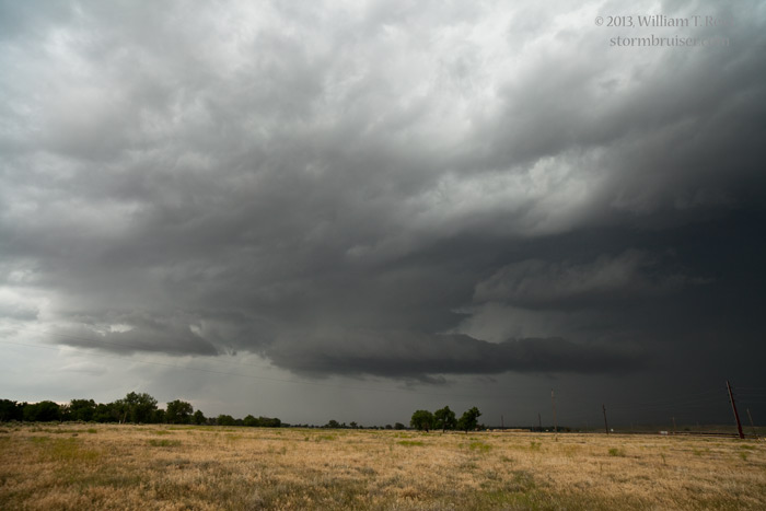
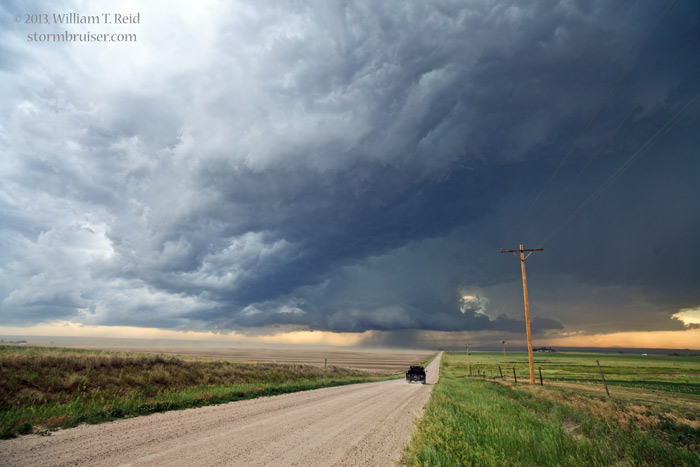
As for June 21, severe weather prospects were quite a bit better on the High Plains of eastern Wyoming. Our home for the previous night was Bowman, ND, and we made our way southward to the Lusk, WY, area. If I recall correctly, and I usually do, I believe that while we were observing a couple of updrafts near Jay Em, an impressive gustnado on an outflow boundary passed about 100 feet from us and disturbed a group of bovine.
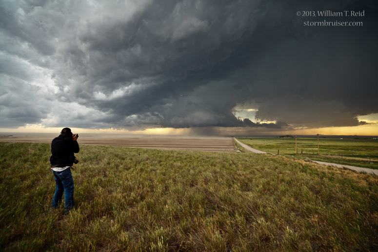
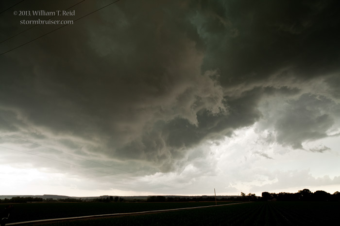
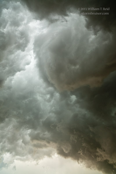
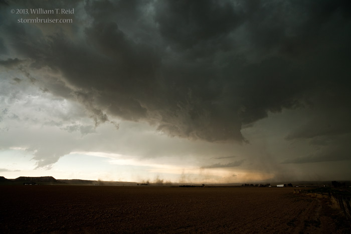
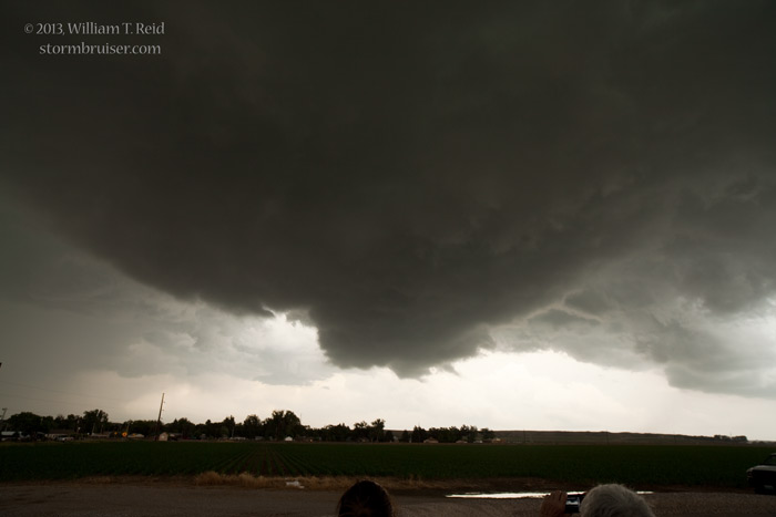
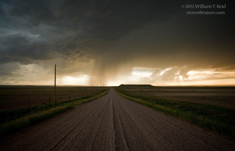
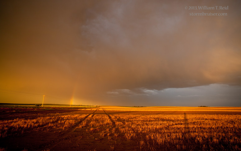
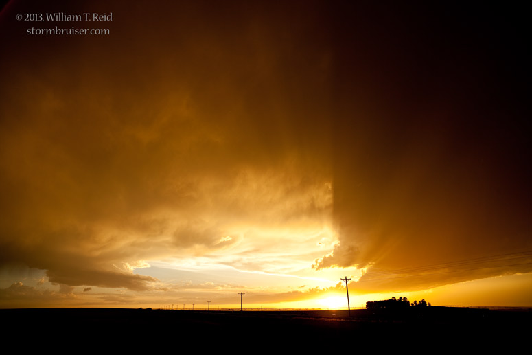
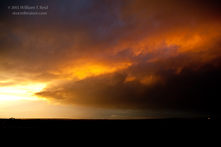
We eventually found ourselves on, or beneath, an updraft in the Lingle/Torrington area. It made a move or two towards tornado-making, but it was high-based and the attempts fell short. The stormy sunset scenes west of Yoder were not entirely uninteresting.
Leave a Reply
You must be logged in to post a comment.