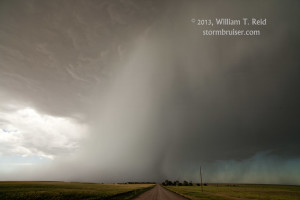
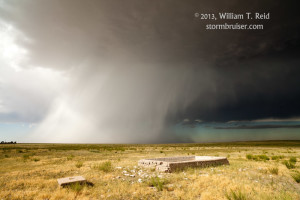
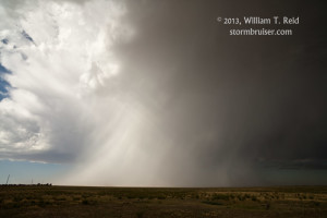
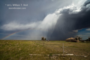
From Hutchinson, KS, our group headed west to the High Plains of eastern CO. The flow aloft was adequately strong and from the northwest, and moisture was barely enough for CAPE values of 1000 to 1500. Plenty of sunshine was baking the landscape during the afternoon, and a cumulus field sent up a few towers near Vona, along I-70. SPC was mildly enthusiastic about supercell prospects, with a “see text” and 5% hail graphic in this area. As expected, the first strong updraft to develop was high based. We watched it drift to the south through southern Kit Carson County.
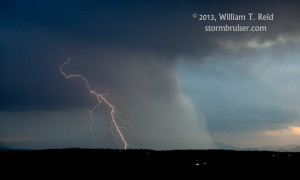
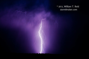
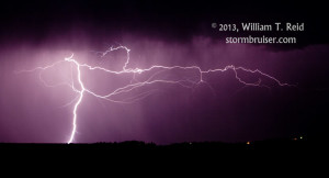
The cell provided some interesting photo ops, but it fell a bit short in terms of overall storm structure from our perspective. The storm weakened and I elected to head farther west, to catch some new activity along the Palmer Divide between Limon and Castle Rock. We stopped at a high point near the Kiowa water tower and went into lightning-shooting mode after sunset, with some success. Thereafter, we found rooms in Castle Rock, and I headed up to Littleton to catch the last few minutes of my nephew’s wedding reception! Congratulations Bradley and Sarah!






Leave a Reply
You must be logged in to post a comment.