
On Saturday, May 10, we targeted the Emporia, KS, area. Shear and instability looked great for supercells, but surface winds would likely not be “backed” enough for a decent tornado threat in this region. Our tour group had to be back in Oklahoma City by noon the following day, so we could not consider the better tornado threat towards Kansas City.
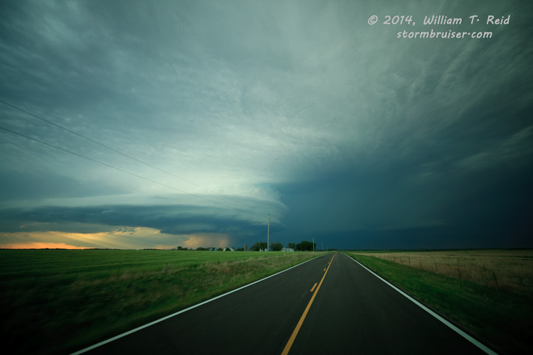
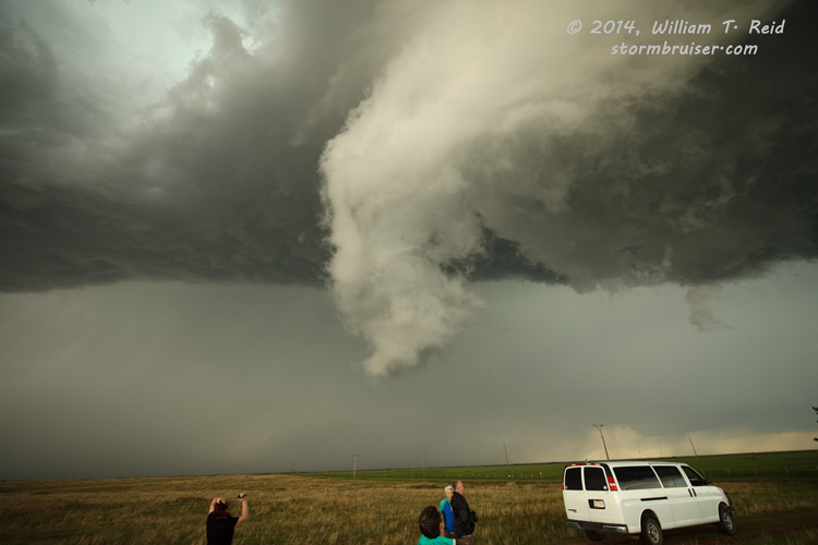
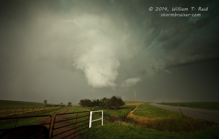
By mid-late afternoon, we got in front of a supercell south of Latham, KS, in Butler County. This one fizzled, but another cell approached a little to our west. The updraft base passed overhead near Atlanta, in Cowley County. There was a lot of cloud spinning and pronounced lowerings, and a chaser saw a small and brief tornado near our location that we did not spot. This action area passed just to our east and headed towards Latham and looked ready to form a tornado. We caught up to a white funnel cloud that was just to our north. We could not discern any ground circulation, but it was darn close!
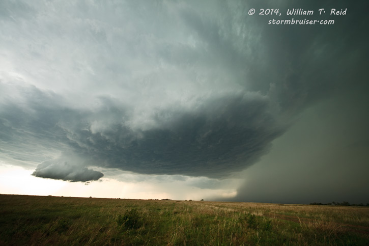

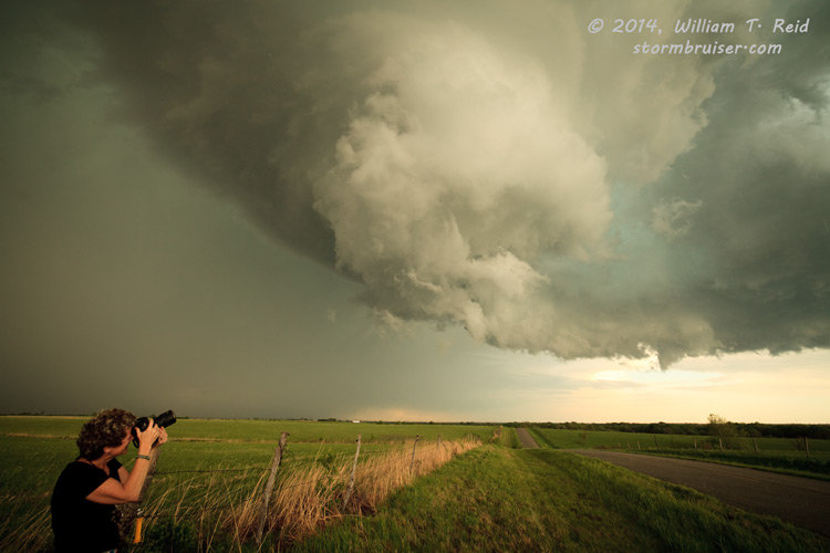
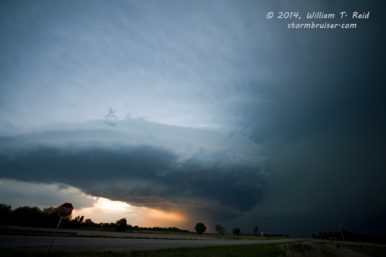
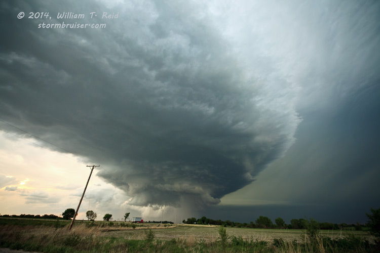
This storm seemed to lose some punch as it continued to the east, so we went south to Chambers. Near there, we watched another supercell strengthen to our northwest and north. It was time for another intercept, so we headed east on 160 to Moline and north on 99 towards Howard. This one was a spectacular beast, and we elected to play the structure at sunset instead of getting close to the action area closer in, near Severy. It produced a pretty, slender tornado near Severy that we did not observe.


Leave a Reply
You must be logged in to post a comment.