
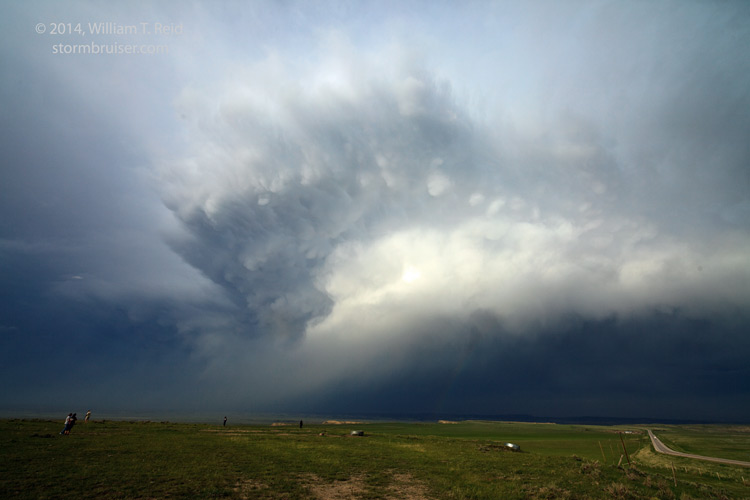
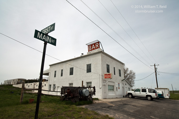
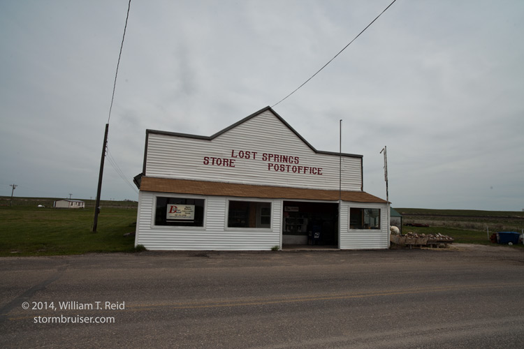
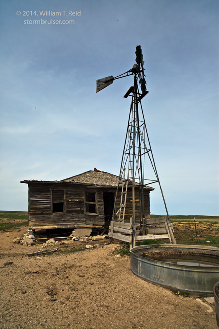
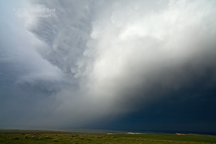
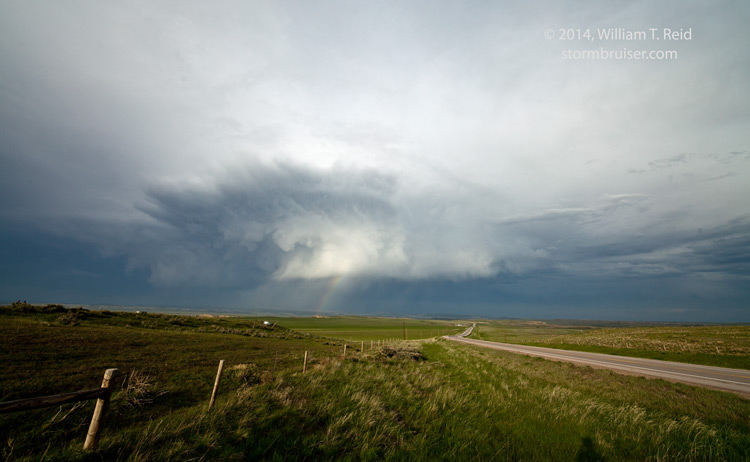
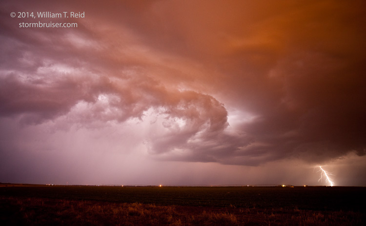
Finally — conditions were becoming more favorable for severe weather on the Plains as low-level flow from the south and southeast developed again in advance of upper-level troughing in the West. SPC had a slight risk for much of northern WY and MT on May 18, with the best chance for tornadoes in eastern MT. I targeted the WY/SD area, on the west and south side of the Black Hills. We began the day in Cheyenne and headed up to the Lusk area, including a stop at Lost Springs. A storm went up well to the northwest, west of Newcastle, and was moving east or ESE. Another decent updraft went up to our south, in the Scottsbluff area, and was moving east. I was more inclined to target the north cell, but it was moving through an area without roads. Somewhat reluctantly and with little certainly, I elected to go after the southern cell in the western Nebraska Panhandle. We drove from Lusk to Harrison and started south. But, radar then showed that the northern cell was looking a lot better than the southern cell. We turned around and headed north out of Harrison for South Dakota. We had some nice glimpses of the sculpted supercell that was still well to our northwest. We stopped on a hill near Provo, SD, and watched the supercell shrivel and die rather quickly. In the meantime, another high-based storm looked semi-decent in the late-afternoon light, to our northeast.

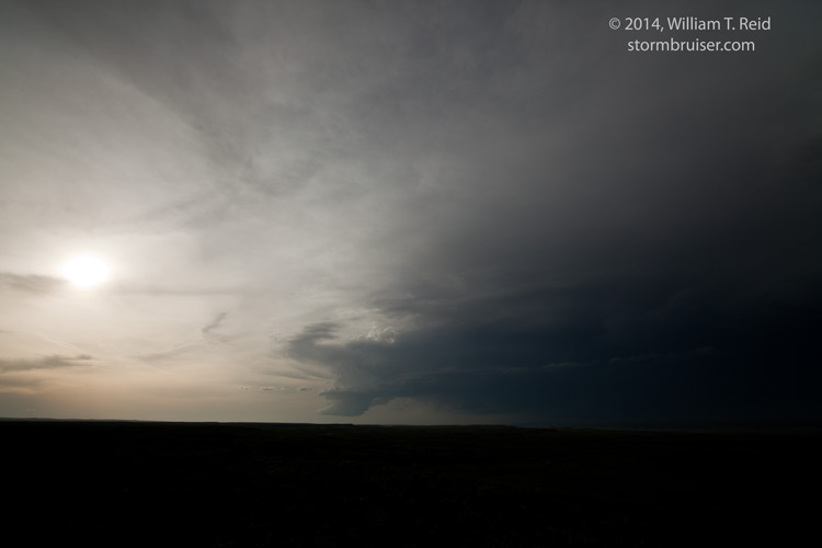
After about 20 or 30 minutes here, the southern cell began looking a lot better, so we dove south and then east towards Alliance to get a closer look. As we neared after sunset on its western edge, it too began to fizzle. We later watched some lightning near Alliance after dusk.

Leave a Reply
You must be logged in to post a comment.