Tempest Tours enjoyed a spectacular and long-lived supercell on Tuesday. I led the group from Ogallala to Sidney, NE, where we had lunch. Most chasers were targetting the E WY/W NE Panhandle area, but during the early afternoon I became more impressed with the setup in E CO. Moisture and instability appeared to be a little better in E CO, particularly near and along I-70. It looked like the window for good instability up around Torrington and Scottsbluff would be much shorter. So, I decided to plunge south from Kimball at 2 p.m., leaving the hordes behind. Tornado potential today was not particularly good, as dew points were so-so, near 50F from Denver to Burlington.
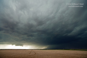
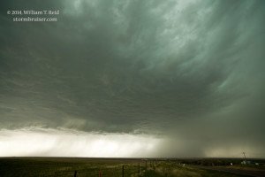
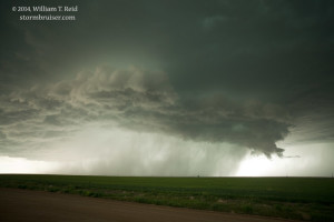
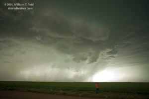
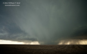
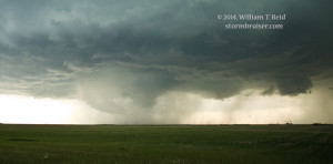
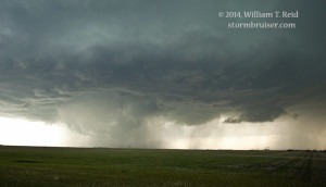
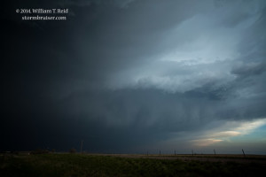
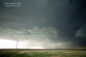
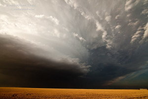
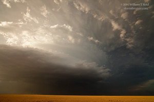
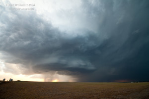
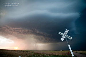
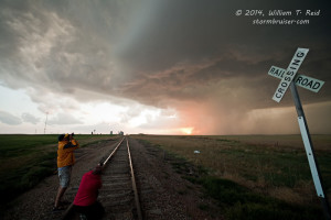
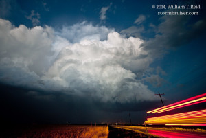
As we neared Brush, a good-sized supercell was impacting the Denver area. We continued south to Last Chance, and were due east of the big storm now moving east of Aurora. Westward we went on U.S. 36 to almost Byers, in great position to watch a very large storm base and persistent wall cloud approach. The cell drifted just south of due east, and the action area was just to our southwest from Byers to almost Last Chance. We witnessed numerous little high-based funnels and a couple of good attempts at big ones, but the cell was a little too high-based and undercut with cool outflow to produce a tornado.
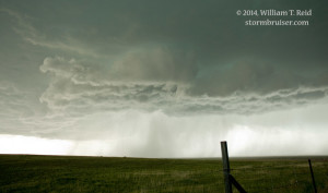
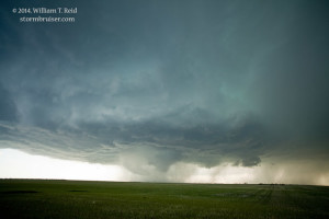
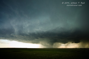
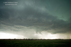
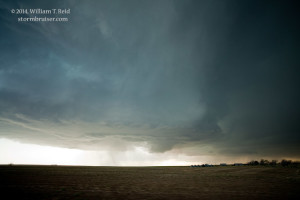
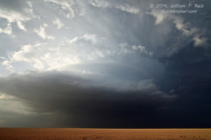
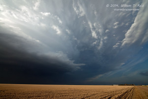
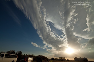
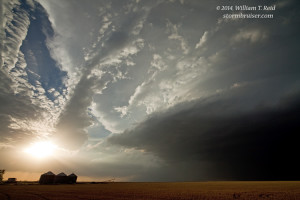
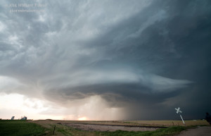
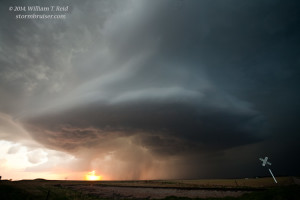
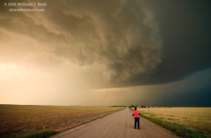
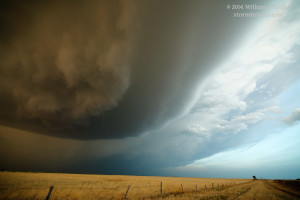
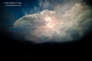
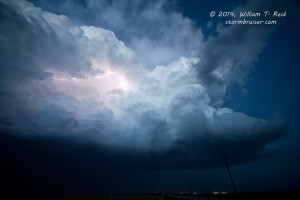
The front end of the storm seemed to surge a little to the southeast as it neared Hwy 71, so we scooted east of Last Chance and south on Road M in Washington County. Near Shaw, the storm looked ready to get really serious again about putting one on the ground, but tornado failure was the name of the game today. Structure improved markedly as the menacing front end chased us east and south to Arriba. Here, we had a good look at the rotating updraft to our north, and I needed all of my 15 mm to fit the storm in. The “Rings of Saturn” made an appearance nearly overhead!
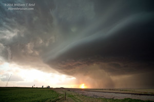
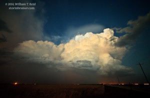
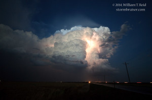
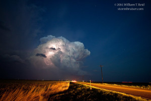
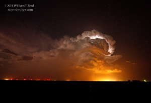
The storm held our hand down I-70 to Stratton and Burlington, with stops to admire the structure and to allow the RFD to move overhead. We found some cover in Stratton from the two-inch hailstones. The backside of the updraft was quite nice at dusk, and a tornado warning was issued for Burlington. The town appeared to survive this Tuesday unscathed…and our fun, five-hour supercell chase across eastern Colorado was finished!


Leave a Reply
You must be logged in to post a comment.