This was the final chase day for Tempest Tours’ Tour 3. It began in Stratton, CO, and the severe risk ran through the High Plains from about Sidney, NE, southward to the Rio Grande. We needed to wind up within a few hours of Oklahoma City, so I was looking mostly at the western Oklahoma Panhandle and vicinity as the target area. Surface winds were upslope and moist, but upper flow was on the light side from the S to SW. The cap was rather weak, so it was looking like an early show, turning into a wet and messy junk-fest late.
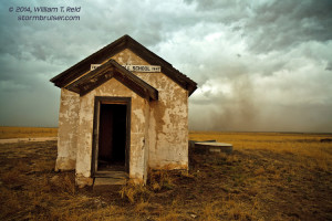
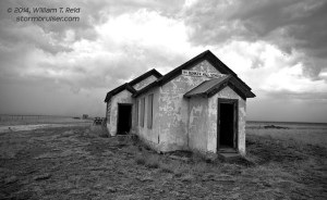
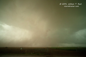
We had a quick lunch in Lamar, CO, and continued to Boise City and into the TX Panhandle. Storms were in progress to our west and southwest, and we headed to a blob southwest of Dalhart. This threw some dust at us and kicked up a decent gustnado or two when we were WNW of Dalhart by about 10 miles. These two images were at an old school house called “Bunker Hill.”
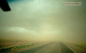
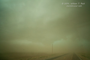
A big cell went up just south of Dalhart, but today’s good cells were only good for 10 or 15 minutes. It was a dud when we got halfway there. We headed east from Dalhart and watched some heavy and briefly ominous-looking activity to out south, and then continued east. As we neared Etter and Cactus, visibility decreased dramatically due to strong winds and blowing dust, from the south. Light rain was mixed with the dust, and the windows were a little muddy. Through the dust to the east a very low cloud feature emerged. Was this a wall cloud or something? The radar indicated a good discrete cell nearly overhead, but the velocity data and shear data showed little to nothing here. A mile or two later, the action area was just to our north, and we were suddenly out of the dust. The rain had quit for the most part, too, and we piled out of the vans.
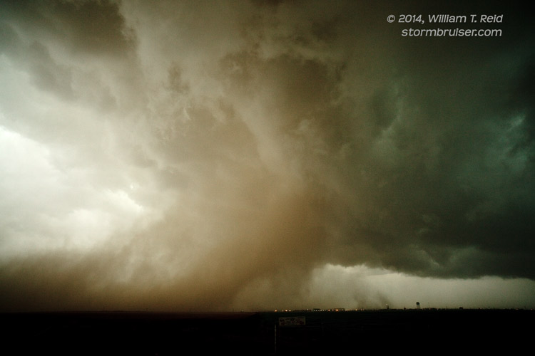
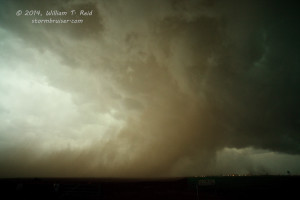
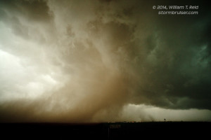
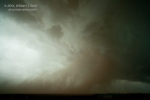
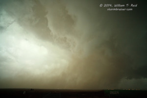
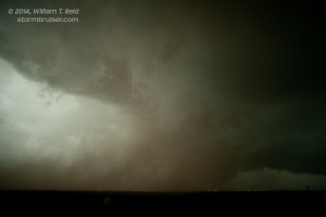
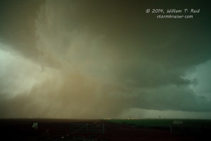
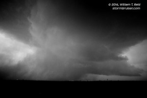
A very intriguing scene presented itself to the north! Dust was rapidly getting pulled up into a tight, low, sculpted, and rotating updraft base. Soon, a funnel cloud was in view, with the dust getting wrapped around it! Was this a tornado? I shot a bunch of stills and some video with the Canon 5D, as I didn’t really care what it was —- I just wanted to get some quality documentation of this very cool development. I did not observe any really rapid or violent rotation near the surface, but dust was largely obscuring whatever was occurring beneath the funnel cloud. We were on Farm Road 281, about a half mile to a mile west of Etter and Hwy 287, and this circulation must have been very close to Cactus. Time of these photos: 5:58 p.m. to 6:04 p.m. CDT.
Rain began to get heavy again at our location as the action area continued moving northward. We quickly jumped on 287 to blast north, but blasting was not possible due to very heavy rain. By the time we got into lighter rain, the interesting area with the rotation was no more. There was little else to observe on our way to Shamrock for the night, except for some occasional lightning. It was a minor miracle that we were able to witness this event near Etter and Cactus.
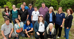
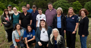
May 23rd was the “departure day” for Tour 3, and we had an easy drive from Shamrock to Oklahoma City. We stopped somewhere along I-40 in western Oklahoma for a group photo.

Leave a Reply
You must be logged in to post a comment.