
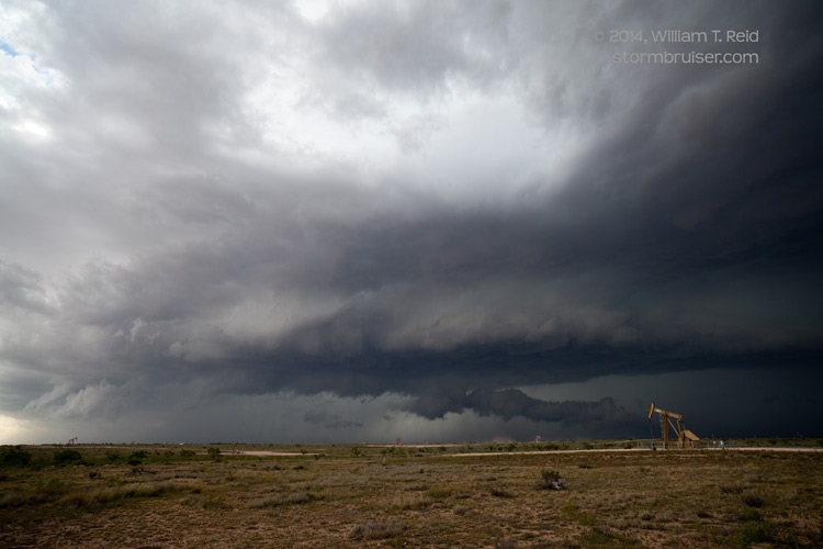
This chase day began in Hobbs, NM, and the target area appeared fairly obvious — the area along I-10 from about Odessa, TX, to Big Spring. It was Memorial Day, and we had no luck finding a decent place to eat around noon in Hobbs. We settled on a pizza place in Seminole, TX, and upon completion of lunch we already had some developing storm towers to monitor to the west. Usually such early development portends a long and generally junky and messy chase day. Today was long, but not too messy. A couple of good-sized storms got their act together in the Andrews, TX, area, and we got into position on a supercell which trekked eastward through Martin County.
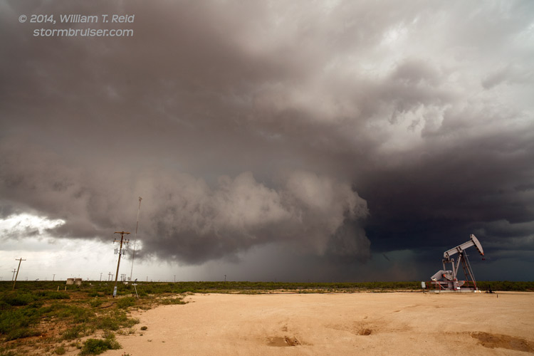
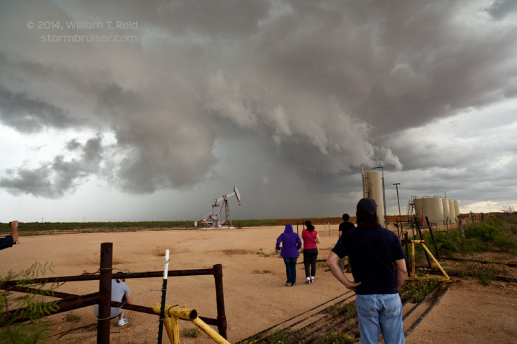
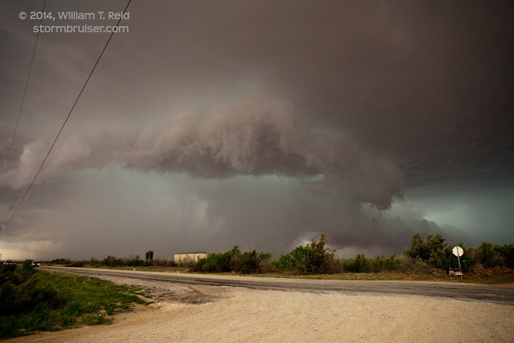
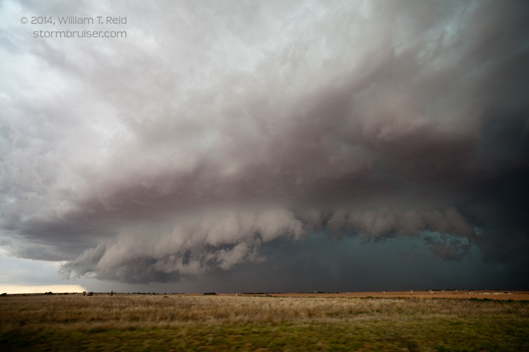

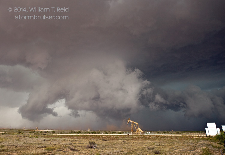
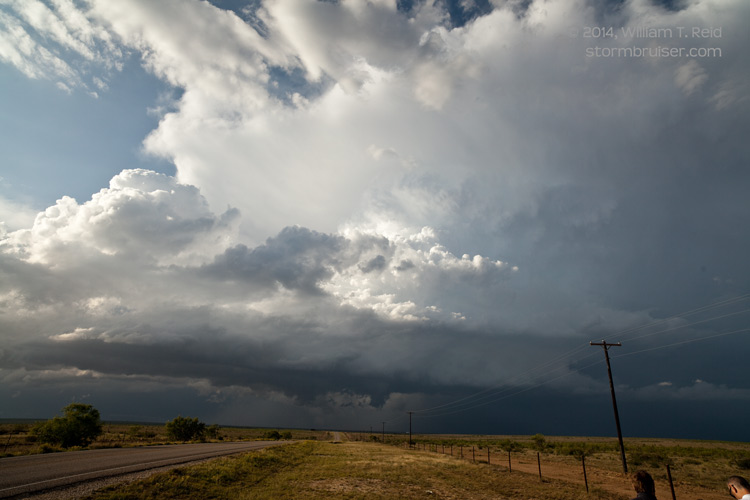
This storm maintained a rather persistent wall cloud, but nice and persistent rotation was not evident. As the cell approached the Big Spring area, it became a bit more HP in nature. A new supercell developed to the southwest of ours, and I decided to target it. We dropped south of Stanton to get in front of this storm, and eventually found ourselves north of Garden City with a some impressive low-level structure and wall cloud activity to our northwest.
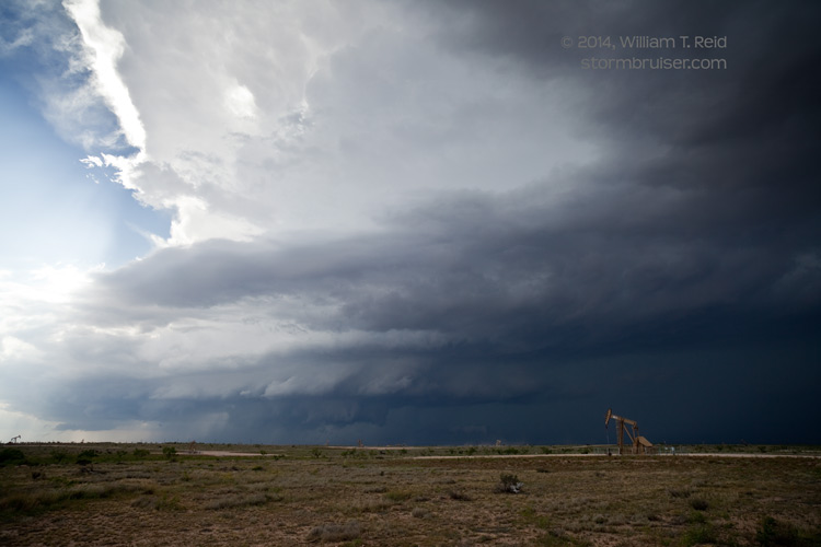


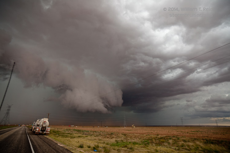
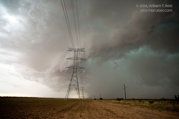
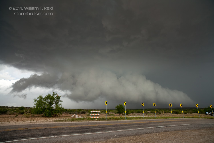
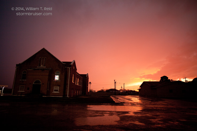
Plenty of dust was kicked up beneath the active lowerings at this time, but the spin-ups seemed a little too weak to be called tornadoes. At Garden City and with the storm heading to the east or ESE, I had to decide whether to go ENE out of town or SSE. I went with the safer move to the SSE, as it looked like the east option would be very vulnerable to large hail. We found a local county road east through the oil fields which allowed a good view of the storm structure. We neared the storm again near Sterling City, and it looked strong still with perhaps a tornado chance, but I think the base was undercut some by cool outflow. We had another updraft or two to observe as we made our way back to Garden City, but things wound down pretty quickly around sunset. We stayed in San Angelo for the night.


Leave a Reply
You must be logged in to post a comment.