

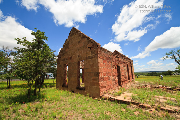
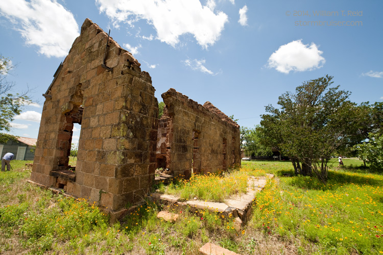
May 28th was Day 5 out of 7 for Tour 4, and we awoke in Marble Falls, TX (near Austin). The best chance for severe weather on the Plains on the 28th was in Montana, and for the last three days of the tour was on the High Plains, primarily north of Interstate 80. But, the severe weather risk was rather marginal for all these areas for these 3 days, and it did not seem particularly advantageous or logistically reasonable to try to blast from Central TX to the Dakotas or Nebraska for one day only to have to come back south to Oklahoma City at tour’s end. On the 28th we repositioned to the west in order to get set for convection on the High Plains of New Mexico and/or Colorado on the 29th and 30th. At Pontotoc we took a break to photograph an old structure.
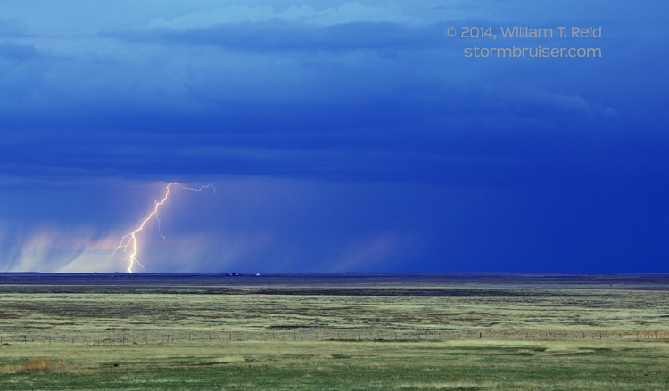
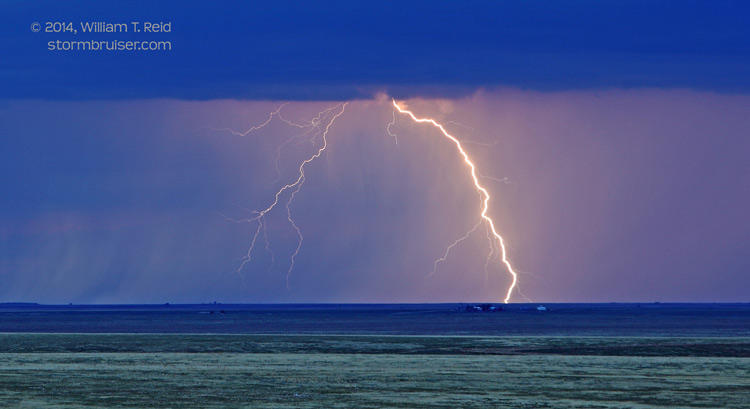
On the 29th we started in Lubbock, had lunch at the Big Texan in Amarillo, and “chased” convection up around the Capulin volcano in extreme northeastern New Mexico. The activity had only weak shear to work with, though, so it was difficult for storms to organize and persist. We wound up with rather junky storms in the Gladstone, NM, area on the nice, wide-open and empty prairie. There was some lightning to photograph, thankfully!
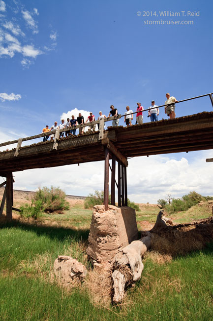
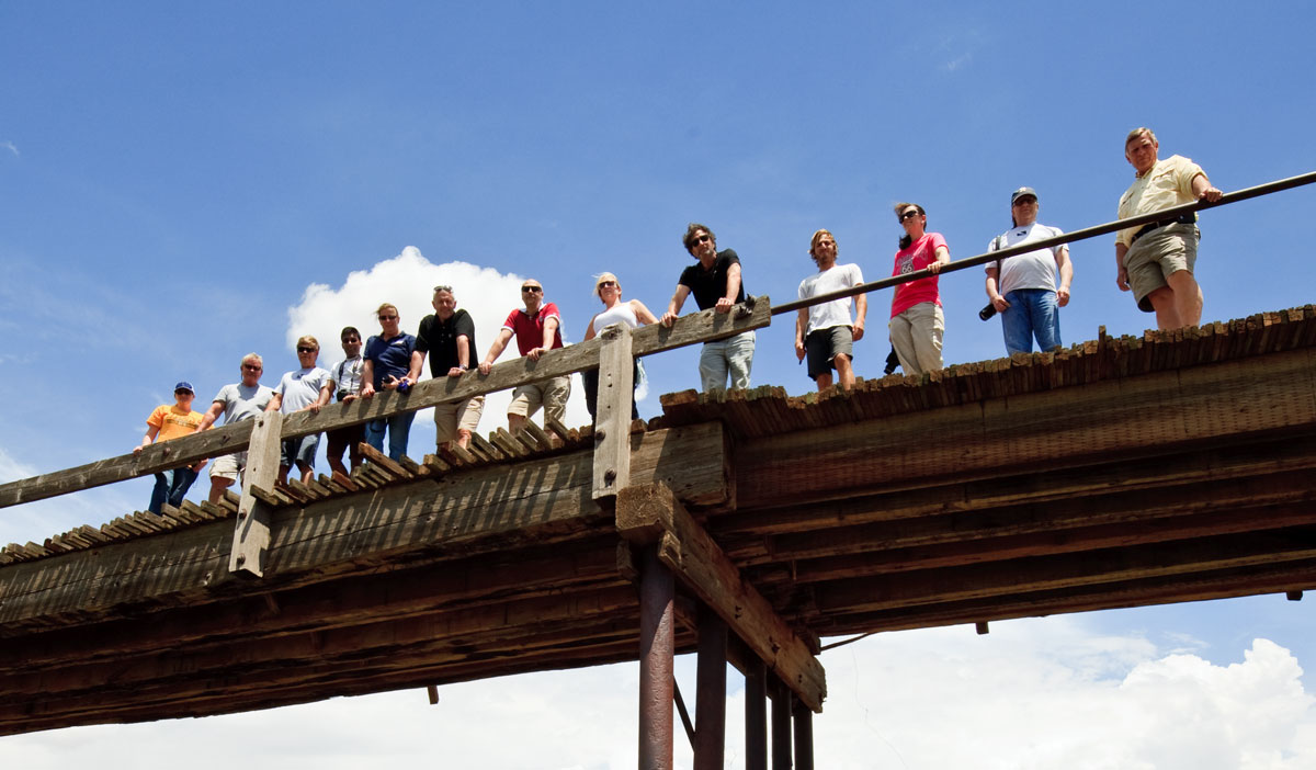
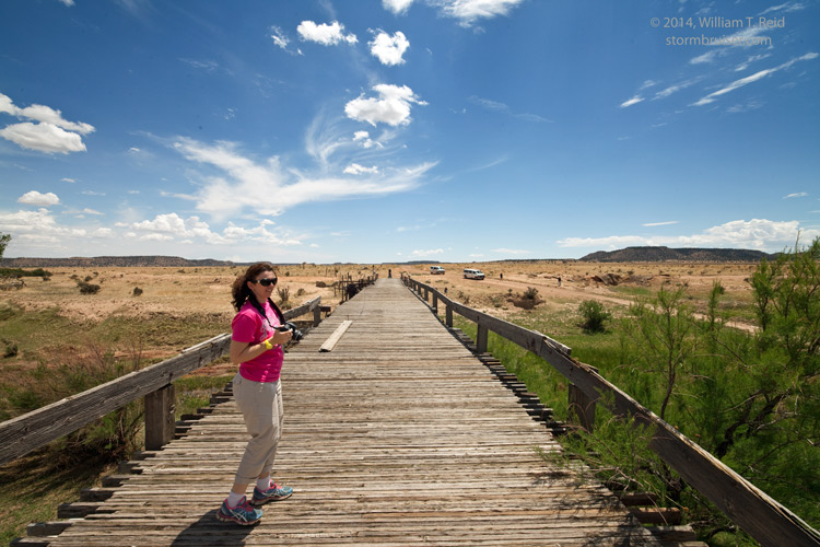
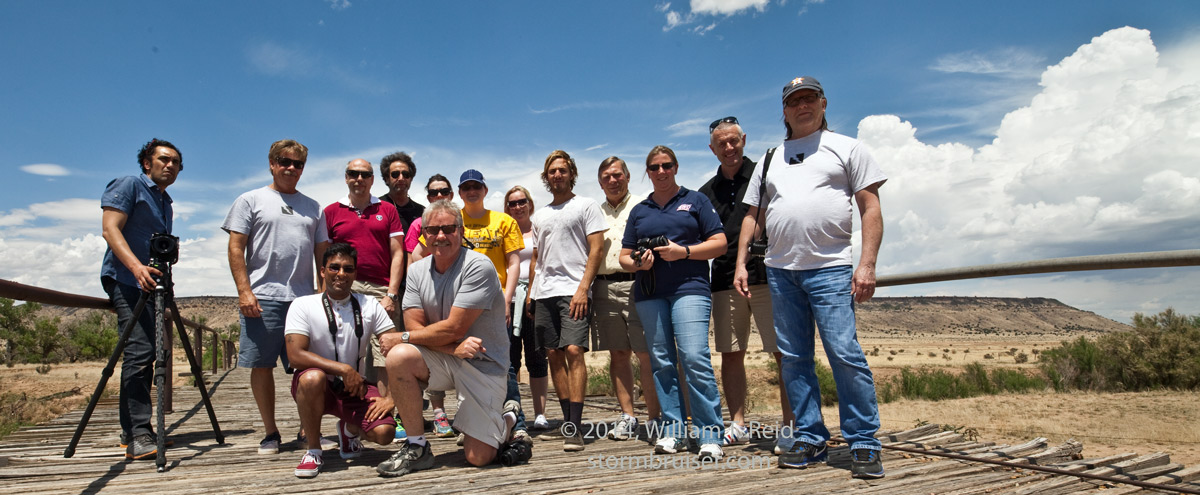
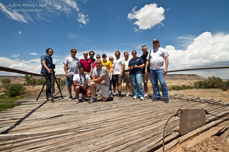
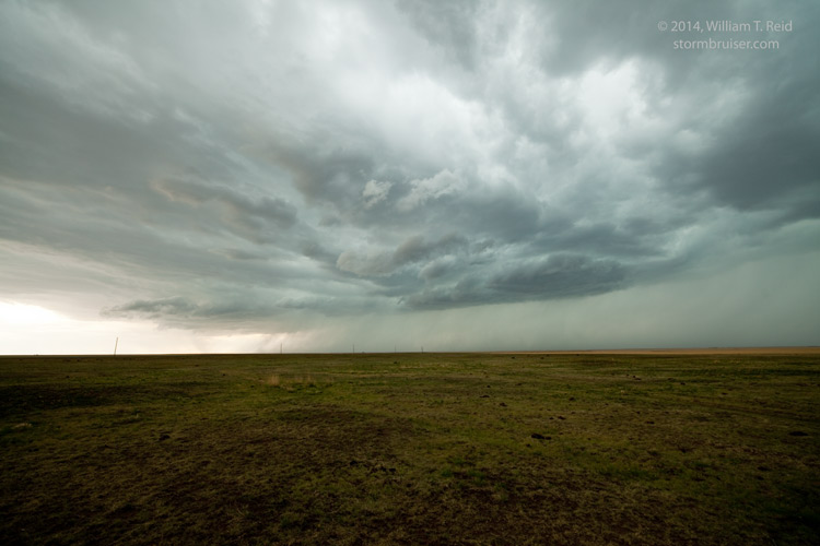
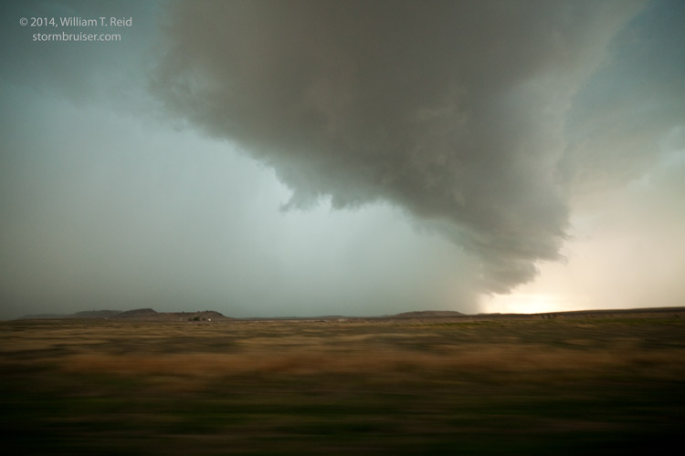
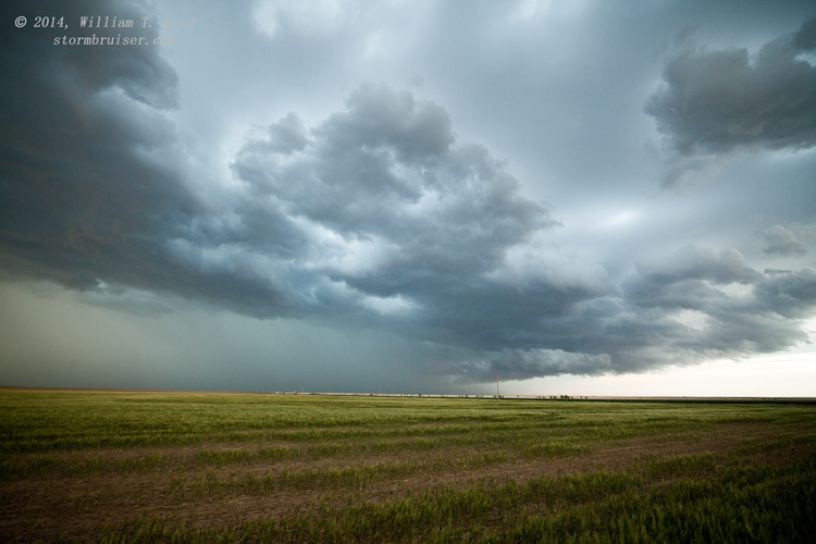
On the tour’s final chase day, May 30, SPC forecast a better severe risk from Sterling to Pierre, but that was too far away from our home base to consider. We began in Clayton, NM, and targeted the nearby Raton Mesa region along the NM/CO border. After a nice lunch at the Rabbit Ears Cafe, we watched a cumulus field develop from an abandoned bridge along the Cimarron River, west of Kenton, OK. A couple of strong cells attracted our attention in southern Baca County, CO, and later one near the CO/OK border just west of U.S. 287. Shear and instability seemed to be a little better than the day prior, but again the storms were not organized and had plenty of cool outflow. However, we DID witness a strong gustnado with the storm NNW of Boise City near the OK/CO border!

Leave a Reply
You must be logged in to post a comment.