
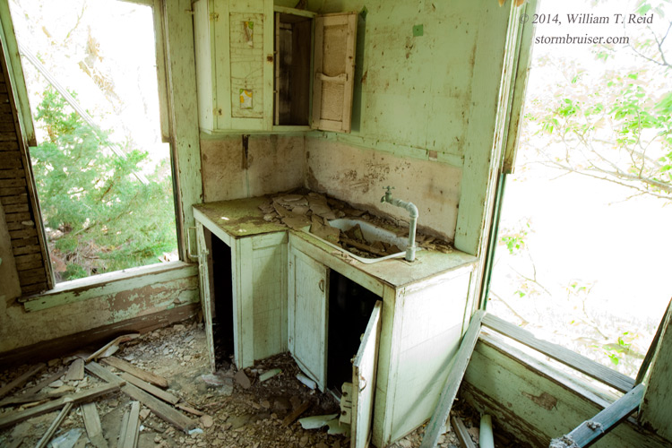
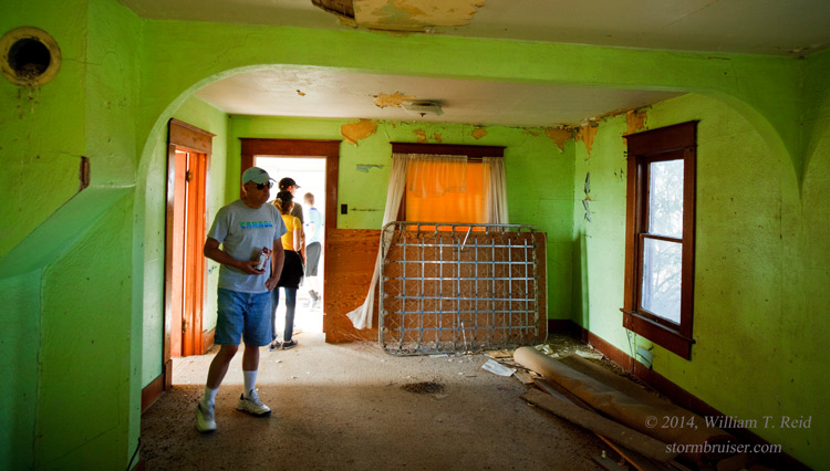
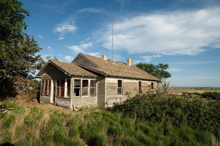
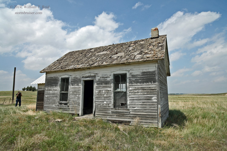
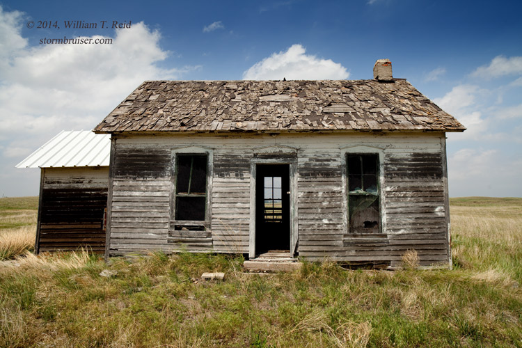
From Dodge City, on June 2nd, our group moseyed leisurely west and north in order to be better positioned for the next day, which was looking promising. After lunch in Garden City we took a look at some struggling convection in the vicinity of Wray, CO. The abandoned farmhouse that we found was more interesting than the skies, so you’ll have to look elsewhere for pictures of the junky storm towers. Ooops, I forgot to flush.

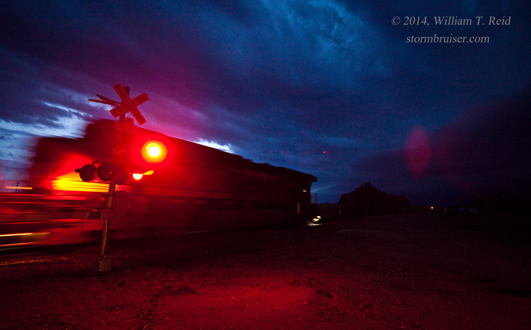
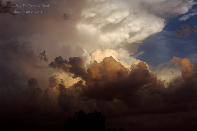
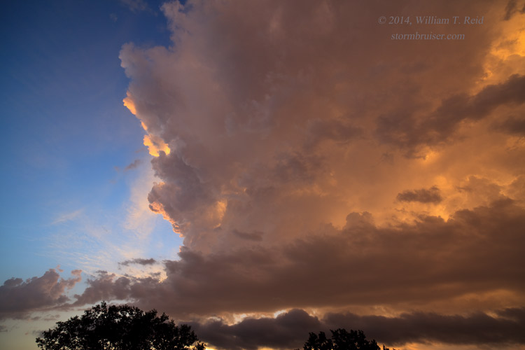
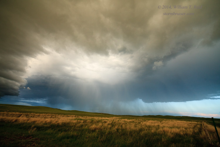
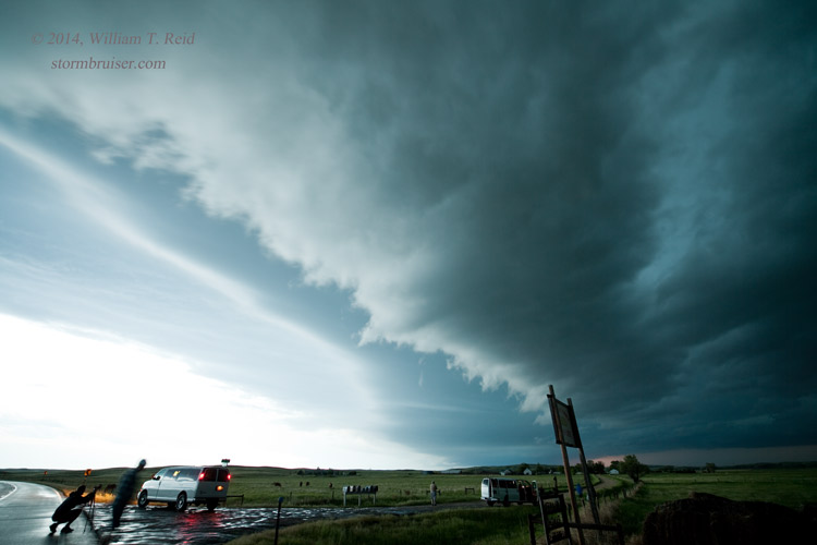
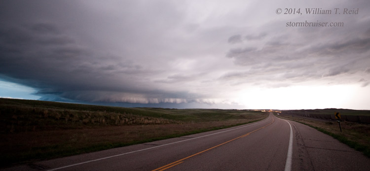
On June 3rd we found ourselves in Ogallala, NE, and SPC had a nice 10-percent/hatched tornado graphic splashed across much of northern Nebraska, with a moderate risk. Their were a number of flies in the tornado-making ointment, though, and SPC confidence in the tornado chances was not high. We scooted over to North Platte and Stapleton and watched some strong convection a little to the north, over the Sandhills. Unfortunately, this activity became undercut rather quickly and our tornado dreams were dashed. A big supercell that was tracking ESE from Scottsbluff beckoned. We blasted west on I-80 from about Cozad and watched the storm fizzle upon arrival near Ogallala. Some additional strong updrafts between Ogallala and North Platte provided some sunset photo fun.

A slight risk of severe weather covered much of the High Plains on June 4. Tornado prospects appeared poor. Our tour group moseyed from Lexington to Ogallala and then up to the northern Nebraska Panhandle. Here, some marginally severe storms became undercut and junky. Additional convection between Rushville and Alliance around sunset was not entirely uninteresting. There was a big tornado or two on this day — one in Kentucky; and one near Limon and Hugo, CO, after light. We stayed in a somewhat flooded Alliance for the night.


Leave a Reply
You must be logged in to post a comment.