
June 7 was the final chase day for this tour, T5 out of OKC. We would need to finish today’s chase within a reasonable distance from Oklahoma City, and Mother Nature was working with us as the best target area looked to be in the Texas Panhandle, perhaps a little south of Amarillo. Supercells were a very good bet as shear and instability were excellent. Tornado potential did not look too shabby, either.
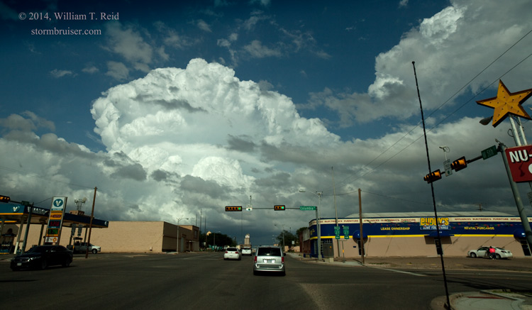
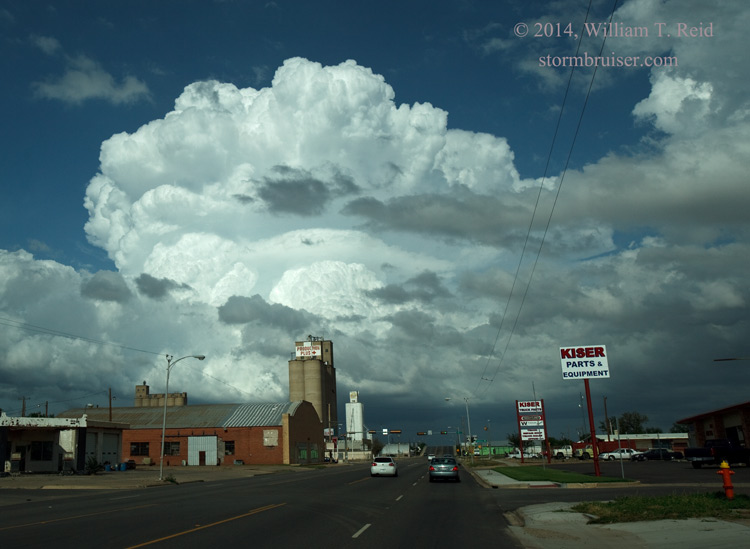
We began in Guymon, had lunch at Hodies BBQ in Dalhart, and continued south to Dimmitt. Some towering cumulus bubbled in the Dimmitt and Hart area, but nothing could get going well into the afternoon. Finally, a clump of cumulus shot skyward to our east, near Plainview, around 7 p.m. We blasted east through Plainview to get near the updraft.
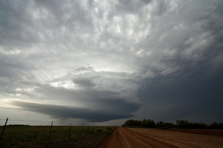
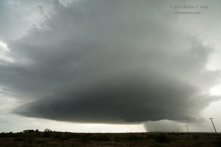
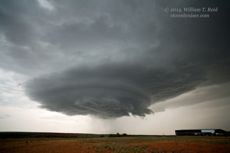
When we positioned ourselves just south of the updraft base, a wall cloud looked good, was quite low to the ground, and some rotation was evident. It looked like tornado development might be nigh! But, the storm soon attained a more-benign look at low-levels, and it never appeared serious again as far as tornado-making. I think that the primary problem in this regard is that low-level winds were a little more from the ENE than they were from the E or ESE. Low-level inflow into the updraft base may have been contaminated (and cooled) a little as it was streaming in underneath the storm’s precip shield. The image below was taken near Lockney. The wall cloud had a much better look just prior to this picture.
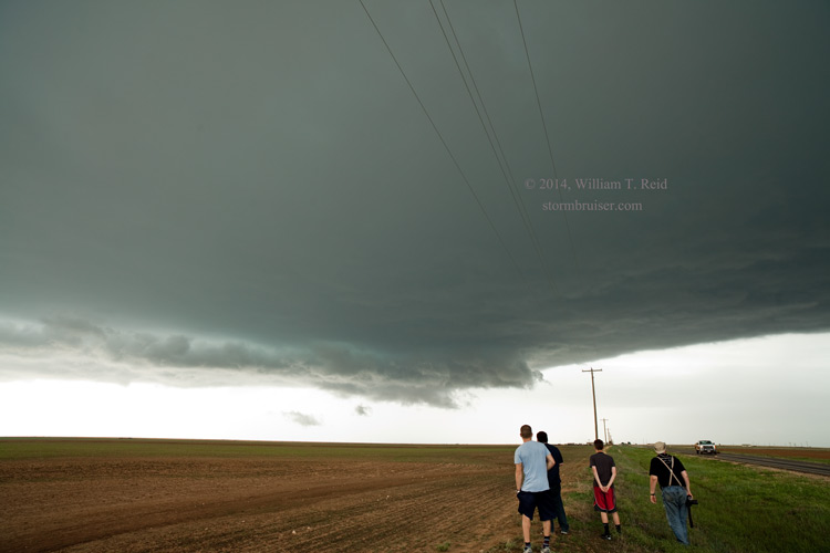
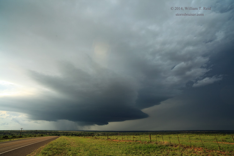
The storm first moved east and then curved a bit more to the ESE. Our route east, U.S. 70 from Floydada to Matador, fell off the Caprock and south options were few until Matador. We had to scoot over to Matador before the hail core crossed 70! We made it to Matador and then headed south, with a nice view of the storm’s structure.
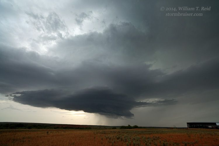
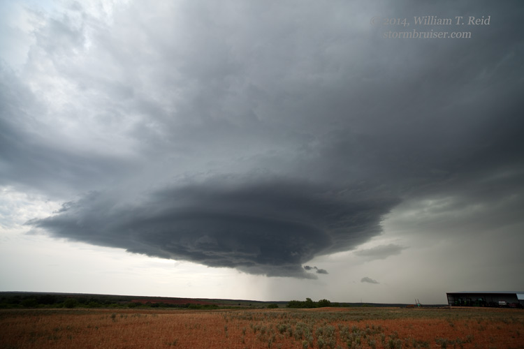
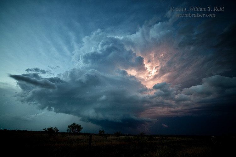
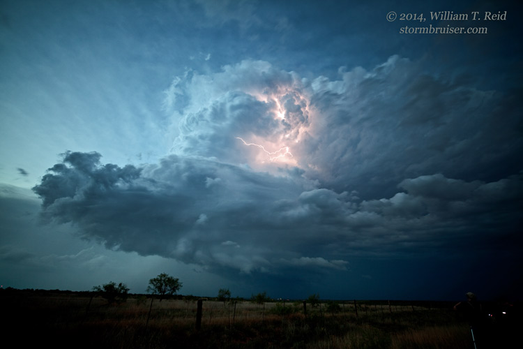
I was in contact with Kelly Delay, who was trying to get into position by heading SOUTH towards Matador. He wound up with some damage to his vehicle thanks to baseball-sized hail! We must have made it out of Matador with just a few minutes to spare. Since it appeared that tornado potential was very low as the storm came off of the Caprock escarpment, I elected to get south and east for a good look at structure as sunset neared. We went south to Roaring Springs and east to a little place called Dumont, and found a high point with a good view of the supercell. The storm base passed just to our north, the cell weakened, and it was time to head to Clarendon for the night. We stopped one more time on the west side of the cell for a few more images, as the storm seemed to perk up again.
Leave a Reply
You must be logged in to post a comment.