

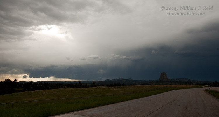
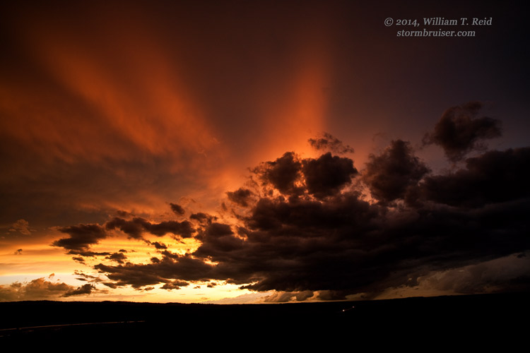
Tour 6 began out of Denver on June 10, and conditions appeared decent for severe weather up north, towards northeastern Wyoming. Following lunch in Cheyenne, we continued north to Lusk and Newcastle and finally in front of a decent cell northwest of Sundance. From south of Devils Tower we watched the laminar storm base approach…and whither.
We continued east to Belle Fourche in case another cell along the WY/MT border strengthened towards sunset. One did, finally, as it moseyed east of Belle Fourche. But, we were southeast of Belle Fourche along Route 34 and a bit out of position. The paved road network was of little help, so we had to watch an interesting storm base to the north from a bit of a distance. We got into Kadoka rather late after over 600 miles on our first day of the new tour.
On the following day I did not take any stills, but we did catch up to some interesting supercells along the KS/NE border south of Hastings. Our original target area looked to be around the Mitchell, SD, area, but after lunch at Mitchell the prospects were looking bleak. We blasted south into Nebraska instead of waiting around for a miracle. We were a bit north-northeast of Hastings when strong convection developed west of there late in the afternoon. A supercell split, and we targeted the right split, but it moved away from us to the south! When we finally got into position, west of Belleville, KS, it was dark. But, we were treated to impressive structure and lightning while en-route. This was another very long day, and we rolled into Belleville for the night after 570 miles. The images below are from the 10th.

Leave a Reply
You must be logged in to post a comment.