SPC was rather gung-ho about severe prospects today, with a large moderate risk, hatched hail and wind areas, and 10 percent tornado graphics splattered over southern NE and northern KS. We charged south out of Thedford and had a healthy lunch at the Green Apple Cafe in Cozad. Convergence and a cumulus field drew us southeastward during the afternoon towards Holdredge and Franklin. The atmosphere was in no hurry to make storms, and we hung out for a while at a park next to a Dairy Queen. Finally, some perky cumulus were noted farther to the south in the hotter air, as often happens. The cap breaks more easily in the hotter air where the low-levels are more buoyant.
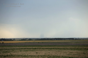
We motored into Smith County, KS, and viewed a developing high-based thunderstorm to the southwest. A tornado report came in for the cell, and, sure enough, we could see a dusty tube connecting the ground and the storm base some 25 miles or so away.
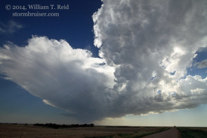
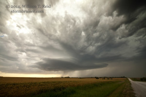
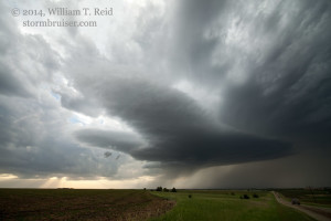
Another updraft went up not too far to our west, so we were sitting pretty in southwestern Smith County, ready for the show to begin. The developing supercell to our west slowly moved to the northeast, towards Smith Center, and we stayed in front of it.
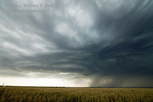
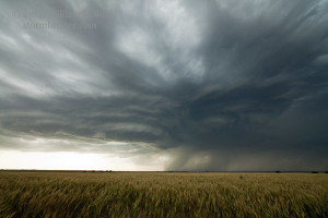
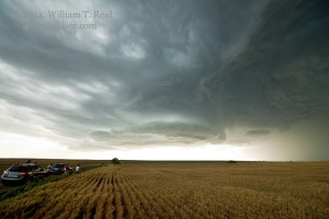
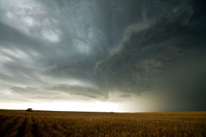
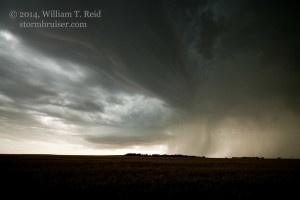
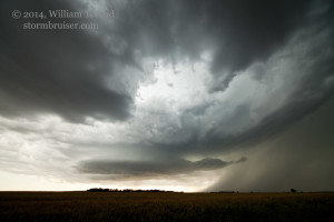
It seemed like the storm was organizing and strengthening nicely, and as we positioned east of it along U.S. 36, east of Smith Center, some big scuddy clouds materialized beneath the lowering storm base. But, this promising scenario quickly fell apart, as did the updraft as we headed north towards northeastern Smith County. Ugh.
I was too disappointed to take any pictures of the dying storm. With another hour or so of daylight remaining, I elected to charge west towards developing severe storms out west, in northwest Kansas. We arrived at Norton, KS, in dark conditions with severe-warned storms some 20-30 miles to our SW, W and NW. These storms were producing some very large hail, and it would NOT be good to get in involved with these at night well out in the open! Motel rooms awaited us in Wakeeney, about an hour south of Norton, and a big cell was nearing Hill City, about a half hour to our south. I figured that we could make it to Hill City before the storm, and we could ride it out there. We got about halfway there, and I was becoming less certain that we could make it! I had Rob pull off on a side road, and we watched the distant lightning to the southwest and west. A spotter report to our west warned of very low visibility in strong winds and blowing dust. It was time to find shelter. We drove the 12 miles or so back north to Norton, but were blasted by very strong and dust-filled west winds! Outflow from the strong convection to our west was roaring across Norton County, and a strong core or two loomed nearby. We made it into Norton without getting blown off of the road, and we hid beneath a strong drive-thru bank building in town. From here we were able to get out and watch the festivities. Wind gusts of perhaps 70 mph swept through downtown Norton, and I got some video of parts of a roof getting blown off. There was rain, but no hail. The heavy cores missed us, but the power went out and then the sirens sounded. A tornado warning was issued for a cell about 5-8 miles southeast of town. Is this great fun or what?!
It was difficult to imagine a tornado developing with all of the fast outflow undercutting the convection, and there was no tornado. We headed south again as the winds subsided. Hill City had been hit hard, too, as we observed plenty of tree parts in the streets and yards in the power-less town. Wakeeney escaped relatively unscathed. The storms this evening produced many impressive wind gusts in Norton, Graham and Phillips counties. Some automatic stations reported gusts from 70 to 80 mph.





Leave a Reply
You must be logged in to post a comment.