
Our target today was extreme western South Dakota, but, unfortunately, we were starting out on the wrong side of the state. We headed north out of Vermillion to I-90 mid-morning and blasted west on I-90. SPC showed decent tornado chances today, favoring an area near the MT/SD/WY triple-point, and along the IA/MN border. My western/High Plains bias drew me west, as usual. After a quick lunch in Chamberlain, I stopped near Philip, SD, around mid-afternoon. Our western target area still looked good, but another area, to our south near Merriman, NE, was also looking promising. Chris Gullikson and I had a little chat as to what to do —- this was decision time. We both decided to continue with Plan A towards Butte and Harding counties in northwest SD. Tornado potential looked a little better there, but low clouds were somewhat slow to clear out in nw SD, which bugged me.
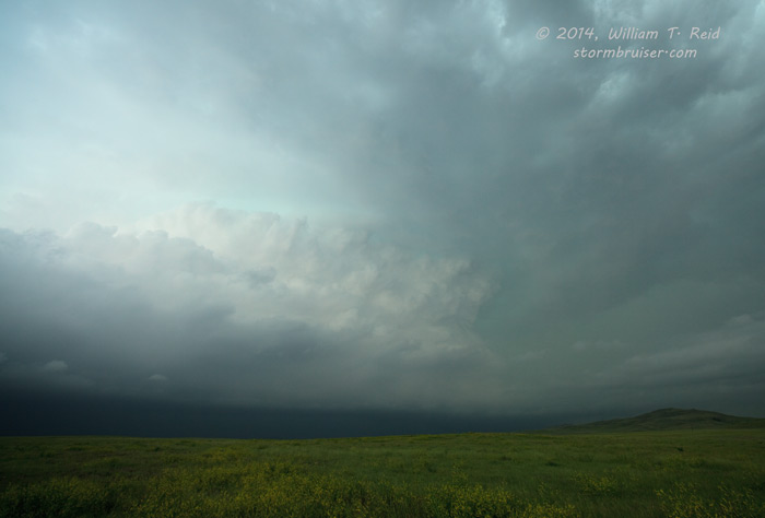
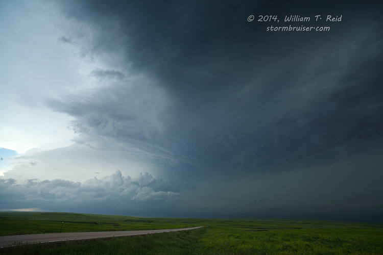
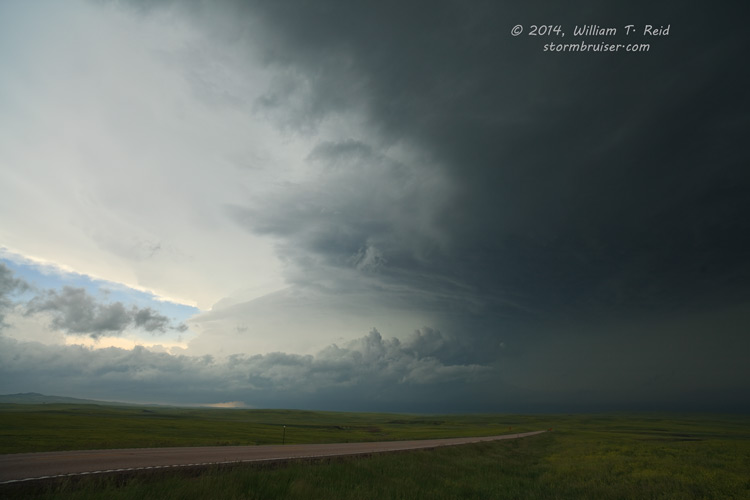
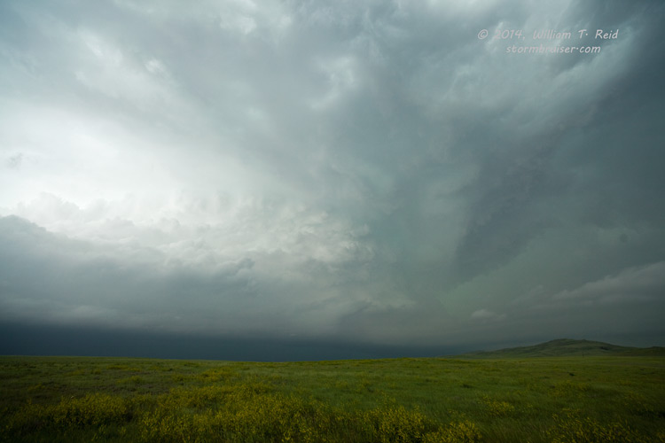
A nice, big supercell developed right on schedule, near the WY/MT/SD triple-point, and we pointed the vans east from Faith for intercept! Things did not go as planned, though —- the darn storm remained stationary for about 2 or 3 hours! This meant that it took longer to get to, and it was spinning over a sparse road network. We tried to find a good spot along U.S. 85 west of Castle Rock to view the structure, but coolish, fast, low-level INFLOW from the east-northeast was often stratus-filled —- yuck!
To make a long story short, we had occasional decent glimpses at impressive storm structure from about 10 – 15 miles away to the west and southwest. The supercell looked like a great tornado-making candidate, but our view for this was not optimal. Elsewhere today, a supercell or two near Merriman, NE, produced very photogenic tornadoes…and to add even more insult…a fairly stationary supercell produced a large, long-lived tornado not too far from where we started the day, south of Vermillion in northeastern Nebraska. Oh well, every season there is a day or two that you’d like to have back to do over, and today was that day in 2014.
Leave a Reply
You must be logged in to post a comment.