Stormbruiser.com

William T. Reid

  • About
  • Video Links
  • Climate
  • Categories
    • Astronomy
    • Aurora/Northern Lights
    • Artsy
    • Airports (LAX and VNY)
    • Animal Day
    • Beach
    • BEST and MOST POPULAR
    • Chase Season Summary
    • Chasers and friends
    • Cumulonimbus
    • Death Valley
    • Desert
    • Desert/Mountains
    • Elevated photography
    • Eyesores
    • Fire
    • Flooding
    • Hurricane
    • Landscapes
    • Lightning
    • Local: Conejo Valley/San Fernando Valley
    • Mid and High Clouds
    • Nighttime photography
    • Old Stuff
    • Rainbows/Optical Phenomena
    • San Nicolas Island
    • Storm Video Sales
    • Stormy Skies
    • Stupid Bugs
    • Sunsets and Storms
    • Supercells
    • The City
    • Tornadoes
    • Unusual Clouds
    • Vegetation
    • Wind and Dust
    • Winter Weather
  • Contact
You are here: Home / 2015 / May 1, 2015 Ho-hum convection around WY/NE/CO

May 1, 2015 Ho-hum convection around WY/NE/CO

May 1, 2015 By Bill Leave a Comment

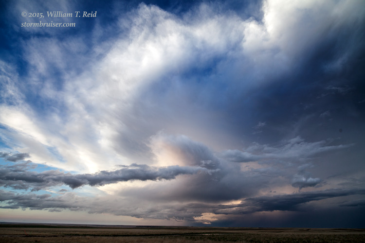
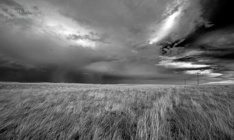
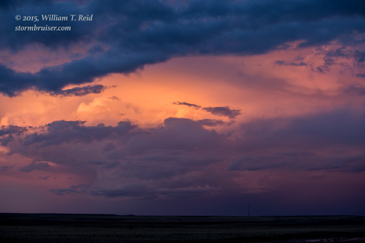
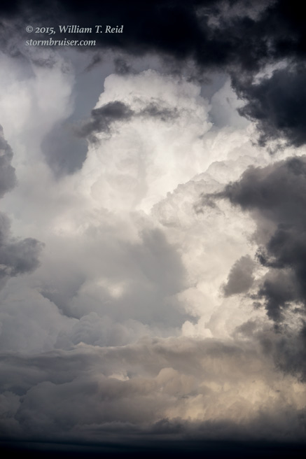
There was only a “marginal” risk for severe weather today, and that was along the CO Front Range.  Dew points were only in the low-mid 40s and instability was marginal at best.  I don’t recall much on this day (okay, I admit it —- I don’t remember ANYTHING from this day), but I did manage a pretty picture or two!  My notes indicate that we started and ended the chase in Yuma, CO, with forays to storms northeast of Cheyenne, south of Kimball, and west of Sterling.


150501_9866 150501_9855 150501_5810 150501_5798

Filed Under: 2015, Artsy, Stormy Skies, Sunsets and Storms

Leave a Reply

You must be logged in to post a comment.

Search

May 2015
S M T W T F S
 12
3456789
10111213141516
17181920212223
24252627282930
31  
« Apr   Jun »

Categories

Archives

Copyright © 2025 stormbruiser.com · Log in