
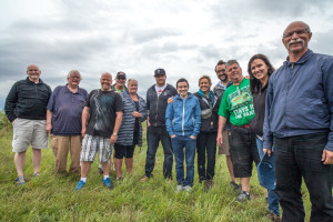
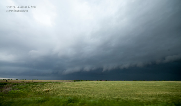
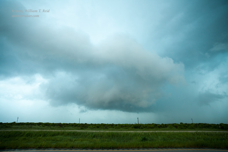
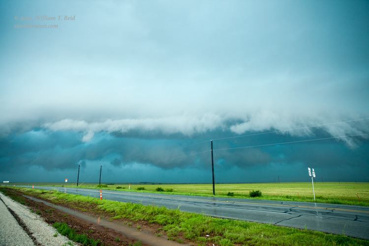
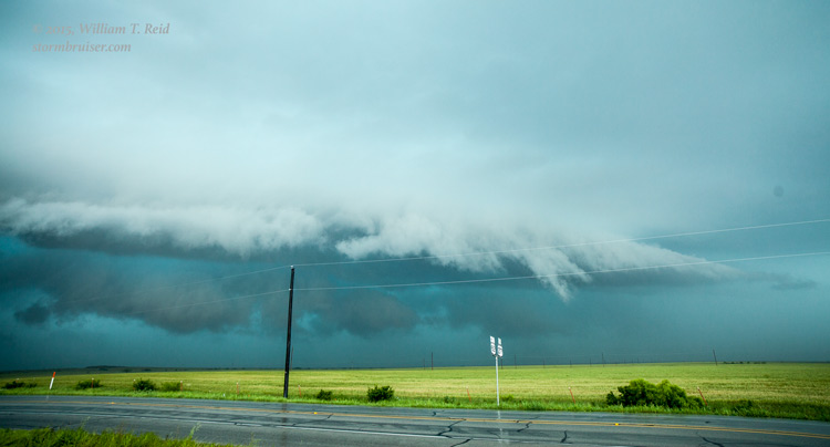
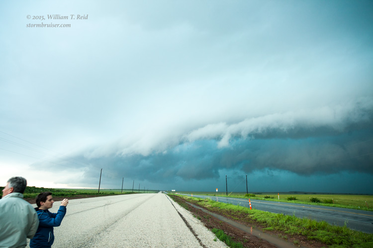
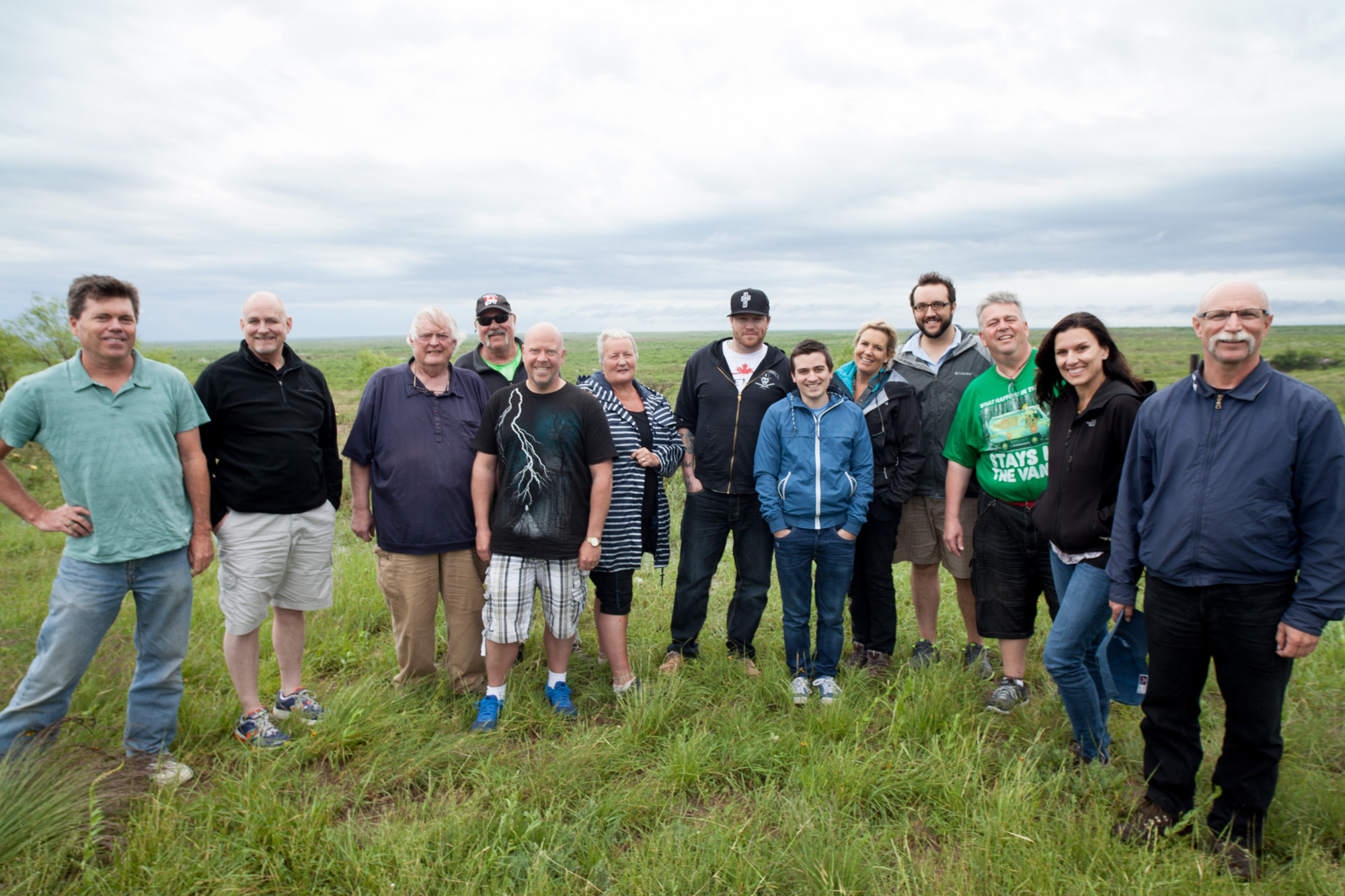
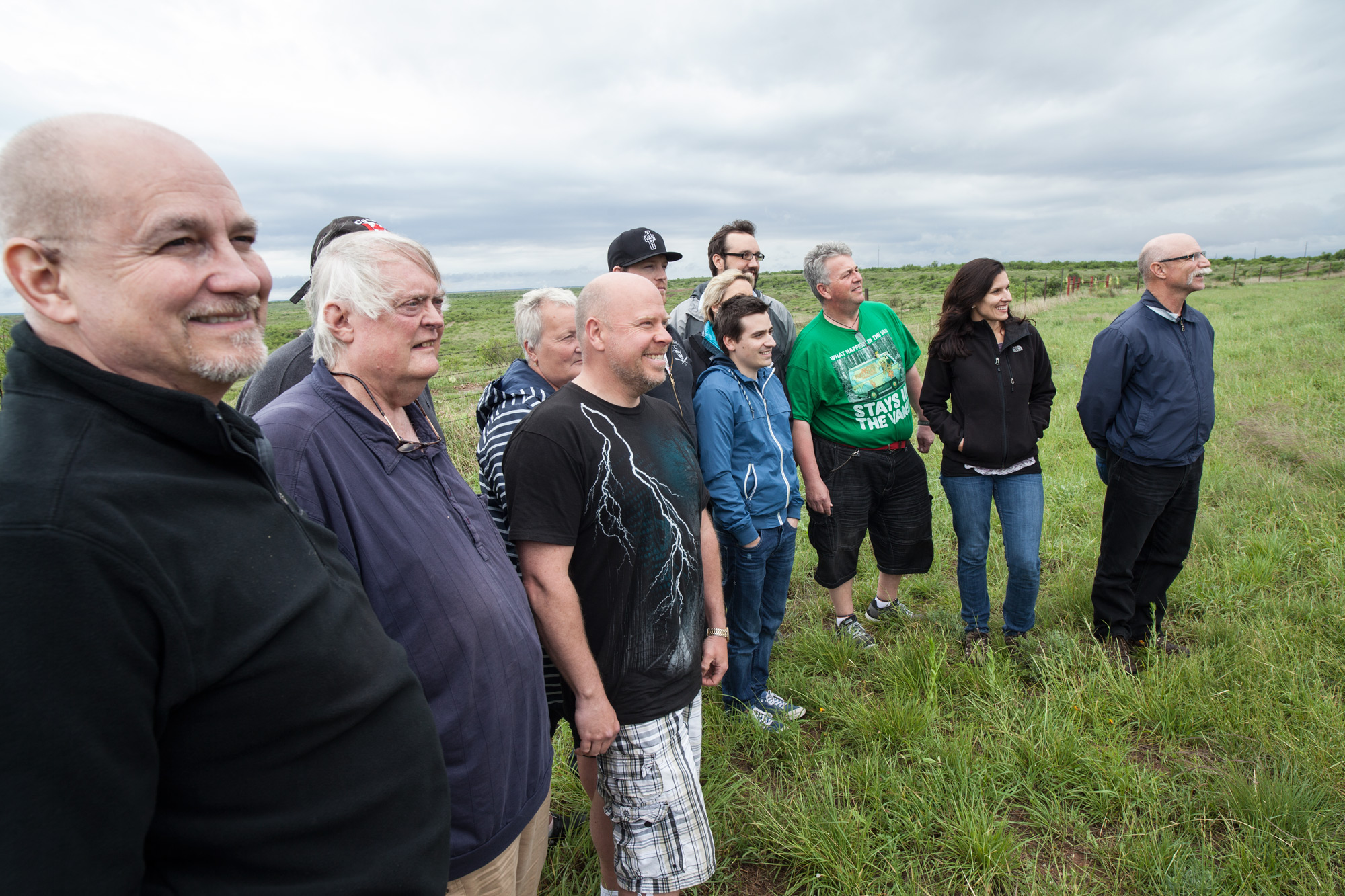
We awoke today in Vernon, smack dab in the middle of an “enhanced” slight risk with a 5 percent tornado risk outlined! Yes! But, there was already a mesoscale discussion issued before 11 a.m., and another one around 1 p.m. —- yuck! Where is our precious cap? The wording on the second discussion is pasted below. I think we headed south out of Vernon to watch some stuff go up shortly after noon. We eventually wound up on a mediocre supercell that was tracking ENE from about Seymour to Holliday. It had its moments, but I think its bark was worse than its bite. We gave up on this one and went back to Seymour for other storms, but by then it was a messy junk-fest and I gave up on the day. We headed to Altus for an early check-in and to enjoy a steak dinner for our tornado catches on May 5. The tour had a couple of chase days remaining, but on the 8th I had to hand the TD duties to Chris Gullikson as I had to fly back home to L.A. for a few days.
 MESOSCALE DISCUSSION 0533
   NWS STORM PREDICTION CENTER NORMAN OK
   1252 PM CDT THU MAY 07 2015

   AREAS AFFECTED...SRN OK THROUGH NRN TX

   CONCERNING...SEVERE POTENTIAL...WATCH LIKELY

   VALID 071752Z - 071945Z

   PROBABILITY OF WATCH ISSUANCE...80 PERCENT

   SUMMARY...STORMS ARE EXPECTED TO BECOME BETTER ORGANIZED AND
   INCREASE IN INTENSITY FROM SRN OK THROUGH NRN TX THIS AFTERNOON.
   LARGE HAIL AND DAMAGING WIND WILL BE THE MAIN THREATS...BUT A FEW
   TORNADOES CANNOT BE RULED OUT. WW WILL LIKELY BE NEEDED SOON.

   DISCUSSION...STORMS HAVE LARGELY EVOLVED INTO AN MCS FROM NWRN TX
   INTO SWRN OK AND IS MOVING SLOWLY EWD. STORM EMBEDDED WITHIN LEADING
   EDGE OF MCS OVER SWRN OK IS BEGINNING TO SHOW UPDRAFT ROTATION. THE
   SFC LAYER DOWNSTREAM FROM THIS ACTIVITY IS UNDERGOING RAPID RECOVERY
   AS AN OLD OUTFLOW BOUNDARY WEAKENS AND LIFTS NWD...ALLOWING RICHER
   /UPPER 60S F DEWPOINTS/ TO ADVECT THROUGH NRN TX AND SRN OK. MIXED
   CONVECTIVE MODE WITHIN THE MCS AND GENERALLY MODEST LOW-LEVEL SHEAR
   LOWERS CONFIDENCE IN A MORE SUBSTANTIAL TORNADO THREAT.
   NEVERTHELESS...DEEP SHEAR FROM 40-50 KT...A MOIST BOUNDARY LAYER AND
   MODERATE INSTABILITY WILL SUPPORT EMBEDDED ORGANIZED STRUCTURES
   WITHIN THE MCS INCLUDING SUPERCELLS AND BOWING SEGMENTS. MOREOVER A
   FEW DISCRETE STORMS MIGHT ALSO DEVELOP SEPARATE FROM THE MCS. AS
   THESE STORMS INTERACT WITH THE RESIDUAL BOUNDARY...ISOLATED
   TORNADOES WILL BE POSSIBLE DESPITE RELATIVELY SMALL AMBIENT
   HODOGRAPHS. OTHERWISE...LARGE HAIL AND DAMAGING WIND WILL THE MAIN
   THREATS AS THIS ACTIVITY DEVELOPS EWD THIS AFTERNOON.

   ..DIAL/HART.. 05/07/2015


Leave a Reply
You must be logged in to post a comment.