
I would like to start the account for this chase day with plenty of superlatives, in capital letters, with lots of screaming and lots of Golly Gees and Holy Molys and Gee Willickers and Man-O-Mans and whatnot. But if I did that, then I would be misleading you, the valued chase account reader.
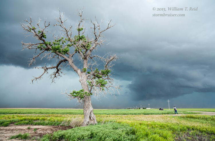
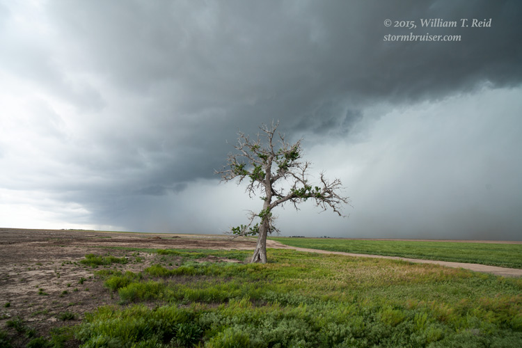
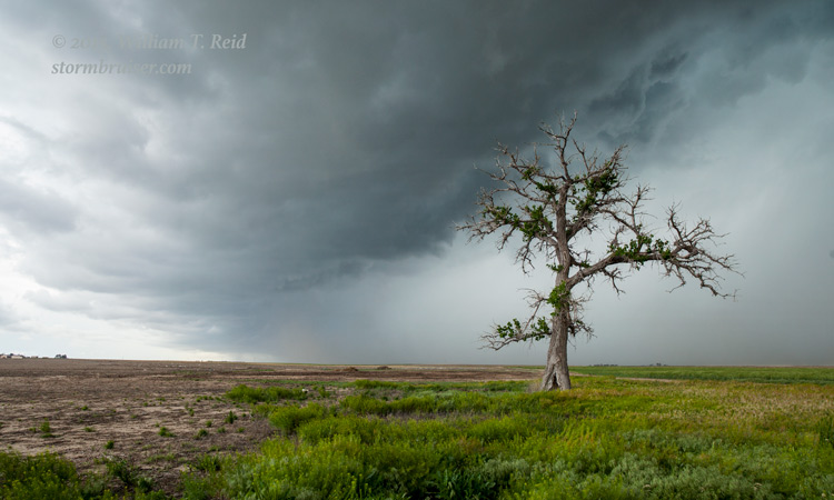
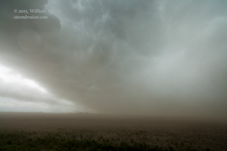
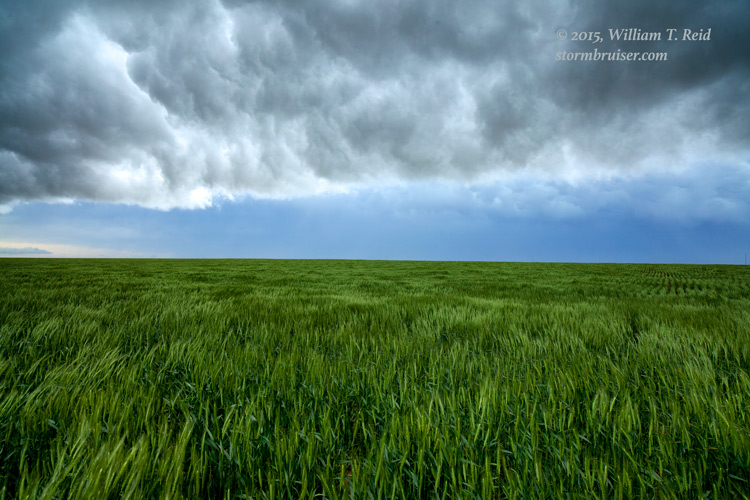
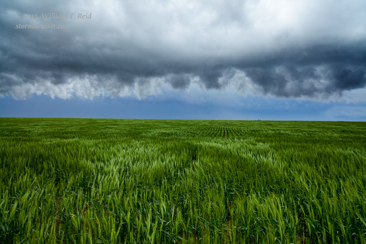
May 16th was looking like a pretty darn good chase day, and chasers were making their way to the Red River area in the vicinity of extreme southwestern OK. SPC showed a moderate risk for much of OK and KS. However, our group was starting the day way up in Valentine, NE (following our tornadic intercept near the SD/NE border the previous evening). Making it to the Red River in time for initiation was not going to happen, but there was plenty of optimism given the potential in western Kansas. As we made our way to I-70 near Colby, our hopes for something spectacular on this day were diminishing. SPC was backtracking on the severe weather prospects in KS, and downgraded from a moderate to an “enhanced” slight risk. I think that moisture return was problematic —- the big stuff near the Red River had access to really good air and we wound up with junky outflowing linear junky junkola junk. Did I mention that our storms were junky? We got in front of a high-based storm which gusted out, threw dust at us, and provided a shelf cloud and Whale’s Mouth feature. Not what I was hoping for.
So, here are some images from the Garden City, KS, area, taken about the time chasers near Elmer, OK, were watching a tornadic supercell.


Leave a Reply
You must be logged in to post a comment.