
It is not that unusual to have to mosey on down to “the ends of the Earth” for a good storm during May. What was kind of unusual this May, though, is that we would head down into Southwest Texas and it would be just for one day, and the next day we would be heading back north. And, Tempest Tours had decent chases south of I-20 in Southwest Texas on four different occasions during May — on May 4 (near Fort Stockton), on May 13 (north of Dryden), on May 18 (near Coyanosa) and on May 20 (SSE of Fort Stockton). This region is bleak and beautiful, but the road network is poor, especially south of I-10, and chases come to a screeching halt at the Rio Grande. I am still waiting for a really nice, long-lived tornado around here.
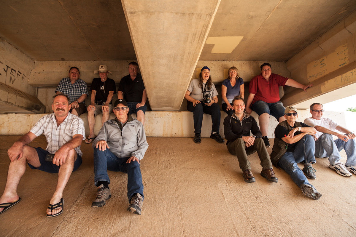
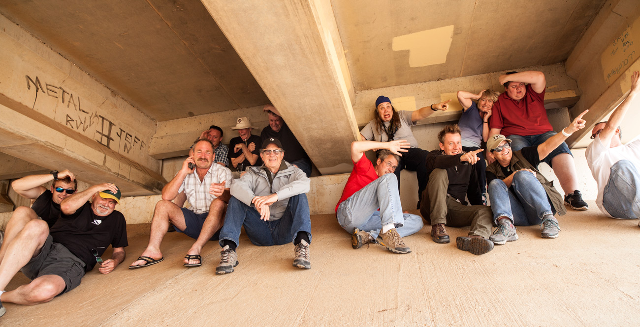
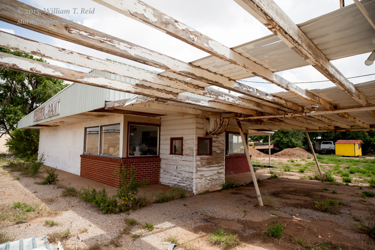
May 19th had been a frustrating “bust” day in the Texas Panhandle, around Post. It looks like we should have been down around Pecos County on this day. We observed a cumulonimbus try to get going near Post, but it was unable to get strong. An upper-level disturbance had promoted morning storms through the Panhandle, and I think we were doomed by sinking air on the backside of the upper-level wave. Earlier in the day, we were waiting around near Tahoka, and did a group photo beneath U.S. 87. Around this time, the town’s tornado sirens went off and a nearby abandoned eating establishment was on fire, but we felt very safe under the girders.

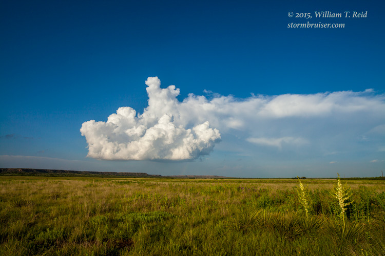
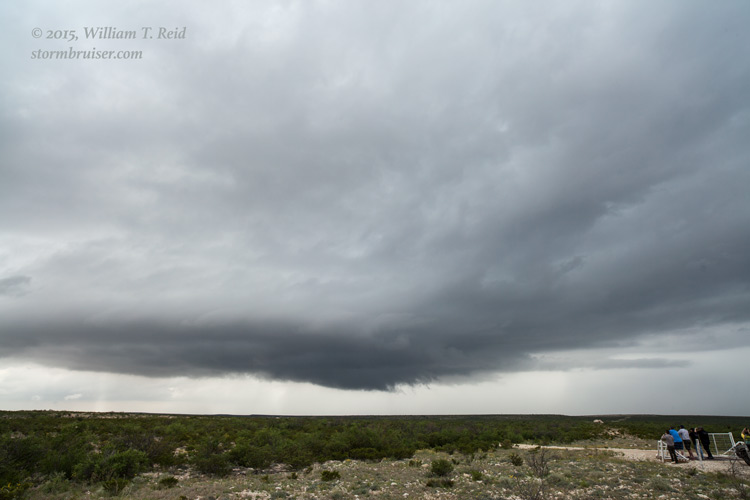
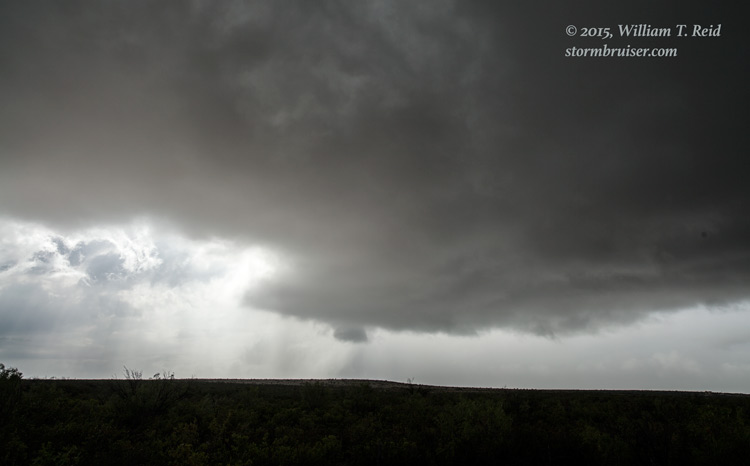
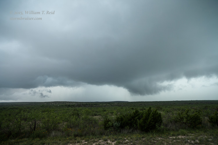
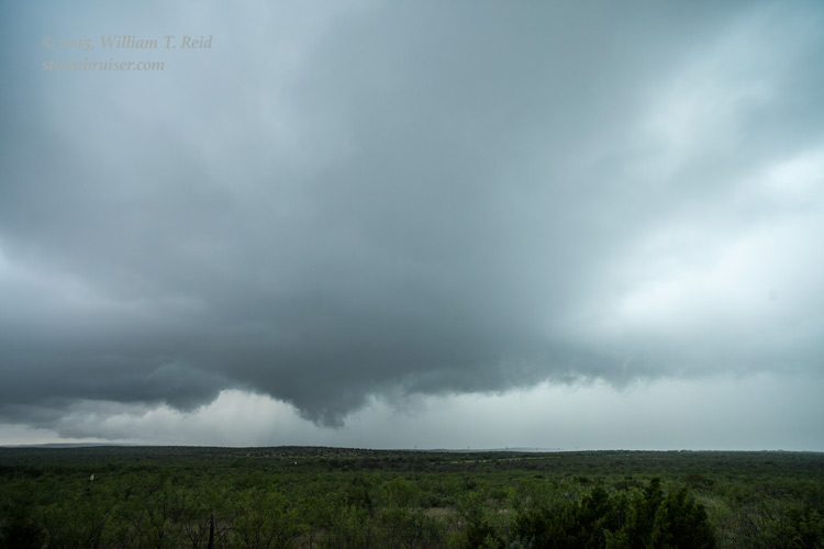
On the 20th, we did lunch at an Arby’s in Midland and then continued south to Fort Stockton. We latched onto a storm or two or three along U.S. 285, and wound up all the way down at Sanderson. Even though instability and deep-layer shear were pretty good, the storms on this day were a notch or so below “fabulous,” at least visually. Sadly, this group only had one more chase day remaining, and it was a “down” day/”drive home” day on the 21st. The atmosphere had nothing for us to chase on the way back to Oklahoma City.

Leave a Reply
You must be logged in to post a comment.