Quite a chase day, this day was. The main entree for our group was the Lamar-Granada-Holly supercell. We played with a lightning display near Ulysses at dusk, and then shot east to try to get a glimpse of the nighttime tornadic supercell near Ensign, KS.
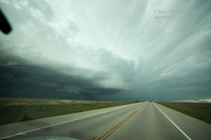
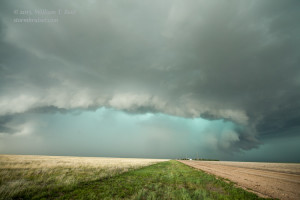
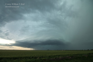
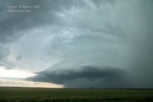
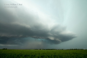
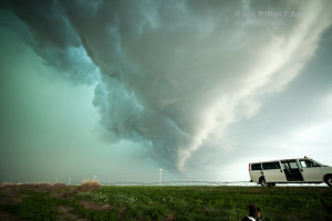
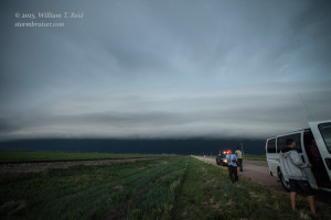
We began in Goodland, and had a delicious BBQ lunch in Syracuse, KS. Storms developed by mid-afternoon in southeastern Colorado, and we targeted a big one that was about 10 or 15 miles southwest of Lamar. We cut north on 385 to get a look at the front side of the supercell (first pic below). The storm was rather slow-moving and we got northeast of it, about five miles south of Lamar, to look into the notch. The storm did not produce a tornado, at least for our eyes, and soon we had to bail east of Lamar to stay away from huge hail.
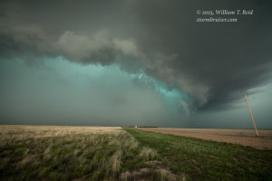
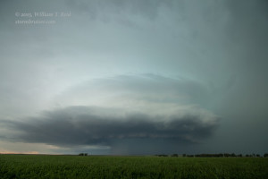
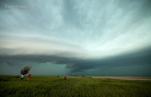
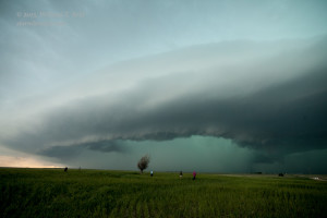
We stopped near Granada and Holly to look back to the west at the impressive storm structure of this HP supercell.
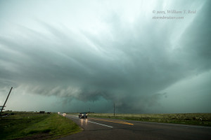
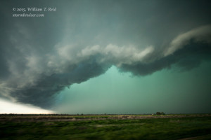
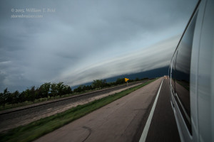
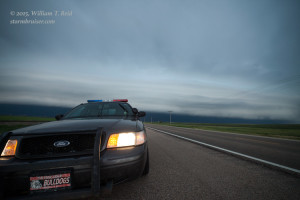
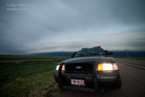
The storm went a lot more linear as it crossed into Kansas along U.S. 50., and we had a nice laminar band preceding the precipitation area. A nice Kansas cop stopped behind the tour group to take us all into custody. Not really. He was interested in an update on the storm.
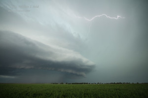
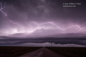
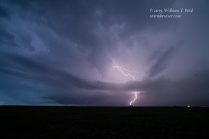
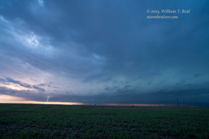
This activity weakened and became tiresome, so we headed south from Lakin to Ulysses to check out a frequently sparking storm just southwest of Ulysses. It was fun trying to get some decent shots of lightning here, but then the storm chased us farther east. We kept going east to try to catch up to a newly tornadic storm near Plains, KS. This one put down a big tornado or two during the dark, around 10 p.m. We got in front of it near Montezuma and Ensign, but it was moving slowly and had weakened and stopped producing tornadoes by the time it neared us. We finally got into Dodge around midnight.



Leave a Reply
You must be logged in to post a comment.