Stormbruiser.com

William T. Reid

  • About
  • Video Links
  • Climate
  • Categories
    • Astronomy
    • Aurora/Northern Lights
    • Artsy
    • Airports (LAX and VNY)
    • Animal Day
    • Beach
    • BEST and MOST POPULAR
    • Chase Season Summary
    • Chasers and friends
    • Cumulonimbus
    • Death Valley
    • Desert
    • Desert/Mountains
    • Elevated photography
    • Eyesores
    • Fire
    • Flooding
    • Hurricane
    • Landscapes
    • Lightning
    • Local: Conejo Valley/San Fernando Valley
    • Mid and High Clouds
    • Nighttime photography
    • Old Stuff
    • Rainbows/Optical Phenomena
    • San Nicolas Island
    • Storm Video Sales
    • Stormy Skies
    • Stupid Bugs
    • Sunsets and Storms
    • Supercells
    • The City
    • Tornadoes
    • Unusual Clouds
    • Vegetation
    • Wind and Dust
    • Winter Weather
  • Contact
You are here: Home / 2015 / May 26, 2015 Watonga OK storms

May 26, 2015 Watonga OK storms

May 26, 2015 By Bill Leave a Comment

150526_1245_Calumet-OK


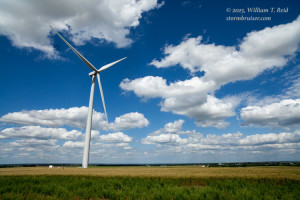
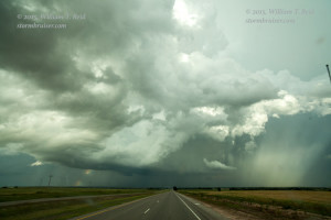
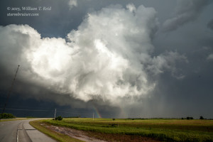
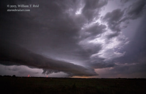
Our starting point today was Wichita, Kansas.  My target area was western OK, somewhere from about Woodward to Watonga, I figured.  After lunch in Enid, we made our way west and then southwest a little.  Some big storms went up to our southeast and we headed to a new and impressive supercell that was west of Watonga.


150526_1172_w-OK150526_1177_Watonga-OK150526_1185_Greenfield-OK


This one looked great, and it was in an area with good tornado potential it seemed.  As we approached from the west on 270 towards Watonga, a left-mover/left-split came up to it from the south and annihilated the supercell.  BLAST.  In the meantime, the “right-split” member which spawned the left-split supercell killer was dropping a very nice and photogenic tornado near I-40, at Hydro, OK, less than 30 miles to our south.  We could not see it, and by the time we got ourselves down there, it had long since dissipated.  BLAST.

That is how it goes sometimes —- my forecast was pretty good, but we had a handful of storms and the storm gods weren’t playing nice for us today.

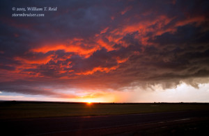
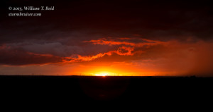
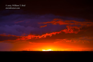
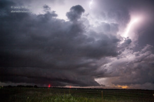
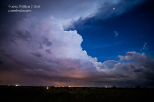
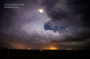
The tornado threat diminished towards sunset, so we found an open spot to near Calumet to watch the nice colors of sunset and then we enjoyed a thunderstorm or two after dark near Geary and Bridgeport.


150526_1211_Calumet-OK 150526_6358_Calumet-OK 150526_6363_Calumet-OK 150526_1236_Calumet-OK 150526_1245_Calumet-OK 150526_1268_Calumet-OK 150526_1282_Calumet-OK


text

Filed Under: 2015, Eyesores, Lightning, Nighttime photography, Sunsets and Storms, Supercells

Leave a Reply

You must be logged in to post a comment.

Search

May 2015
S M T W T F S
 12
3456789
10111213141516
17181920212223
24252627282930
31  
« Apr   Jun »

Categories

Archives

Copyright © 2025 stormbruiser.com · Log in