

This chase wound up rather disappointingly, though we did manage to observe a decent supercell in the rangeland of eastern Wyoming. An upper-level trough was moving into the western U.S.; and nice, moist upslope flow at low levels developed over the Central High Plains. The Storm Prediction Center was rather gung-ho on the severe weather and tornado potential in this region and eastward along the KS/NE border. An “enhanced” slight risk was painted from Colorado Springs to Wheatland, WY; and eastward from the Front Range all of the way to Topeka and Lincoln. A 10-percent tornado area and a 30-percent “hatched” hail area covered the western portion from Limon to Wheatland.
At 20Z, SPC was happy with their Day One discussion that was issued 3.5 hours earlier:
.PREV DISCUSSION... /ISSUED 1127 AM CDT WED JUN 03 2015/

   ...SYNOPSIS...

   FURTHER INTENSIFICATION OF THE WRN U.S. TROUGH IS FORECAST DURING
   THE DAY ONE PERIOD WITH A RESULTANT DOWNSTREAM BUILDING OF A RIDGE
   OVER THE N-CNTRL STATES.  BETWEEN THESE FEATURES...A LOW-AMPLITUDE
   SHORT-WAVE TROUGH WILL TRACK FROM THE LOWER CO VALLEY THROUGH THE
   CNTRL ROCKIES INTO NRN/CNTRL HIGH PLAINS BY 12Z/THU.  ELSEWHERE...AN
   UPPER LOW OVER THE SRN APPALACHIANS WILL DRIFT ONLY SLIGHTLY EWD.

   AT THE SURFACE...AN AREA OF LOW PRESSURE OVER CNTRL MN WILL DEVELOP
   INTO CNTRL WI WITH A TRAILING COLD FRONT SETTLING SEWD AND LINKING
   WITH A LEE CYCLONE OVER THE CNTRL HIGH PLAINS.  AHEAD OF THIS
   FRONT...AN OVERNIGHT MCS HAS GENERATED AN OUTFLOW BOUNDARY WHICH
   STRETCHES FROM W-CNTRL MO TO W-CNTRL KS AS OF MID MORNING.

   ...CO FRONT RANGE INTO THE LOWER MO VALLEY/OZARKS THIS AFTERNOON
   INTO TONIGHT...

   CONVECTIVE OUTFLOW ASSOCIATED WITH THE ABOVE-MENTIONED MCS IS
   ENHANCING THE WWD FLUX OF AN INCREASING MOIST BOUNDARY LAYER INTO
   THE CNTRL HIGH PLAINS...BENEATH OF PLUME OF STEEP MID-LEVEL LAPSE
   RATES PER 12Z LBF/DNR/DDC RAOBS.  THESE PROCESSES COUPLED WITH
   DAYTIME HEATING WILL RESULT IN A MODERATELY UNSTABLE AIR MASS WITH
   AFTERNOON MLCAPE VALUES APPROACHING 1500-2500 J/KG.  OVER LOWER
   ELEVATIONS OF THE CNTRL PLAINS...RICHER BOUNDARY-LAYER MOISTURE WILL
   PROMOTE EVEN STRONGER INSTABILITY /MLCAPE OF 2000-3500+ J PER KG/ TO
   THE SOUTH OF THE LINGERING CLOUDS AND CONVECTIVE OUTFLOW.

   WHILE FORCING FOR ASCENT ASSOCIATED WITH THE LOWER CO VALLEY IMPULSE
   WILL LIKELY REMAIN TO THE WEST OF THE HIGH PLAINS THROUGH THE PEAK
   OF THE DIURNAL HEATING CYCLE...LOW-LEVEL UPSLOPE FLOW INTO THE CO
   FRONT RANGE AND CHEYENNE RIDGE WILL BE SUFFICIENT TO INITIATE WIDELY
   SCATTERED STORMS LATER TODAY.  VERTICALLY VEERING WIND PROFILES WITH
   40-50 KT OF DEEP-LAYER SHEAR WILL SUPPORT A RAPID EVOLUTION OF THE
   INITIAL STORMS INTO SUPERCELLS WITH A RISK FOR LARGE HAIL AND A FEW
   TORNADOES.  LATE THIS EVENING INTO TONIGHT...STORMS MAY MERGE INTO
   CLUSTERS OR AN MCS WITH A DAMAGING WIND AND HAIL THREAT SPREADING
   EWD ACROSS THE CNTRL HIGH PLAINS.
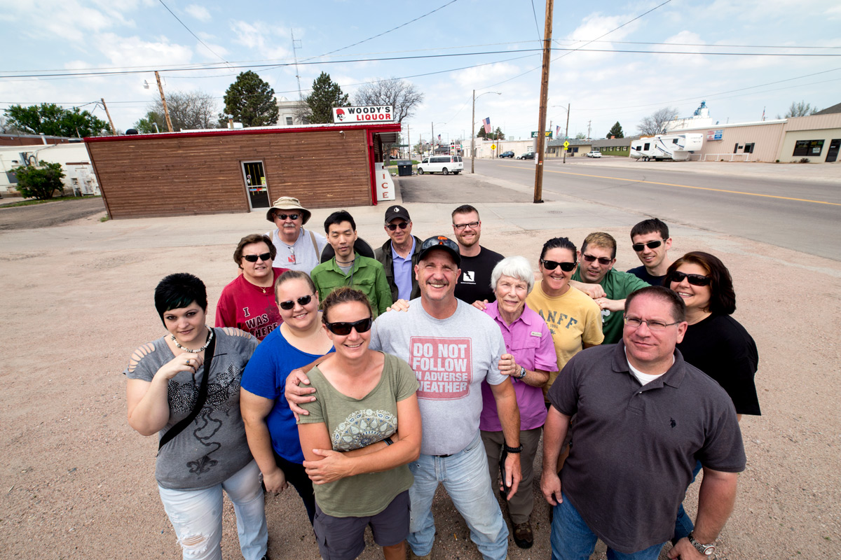
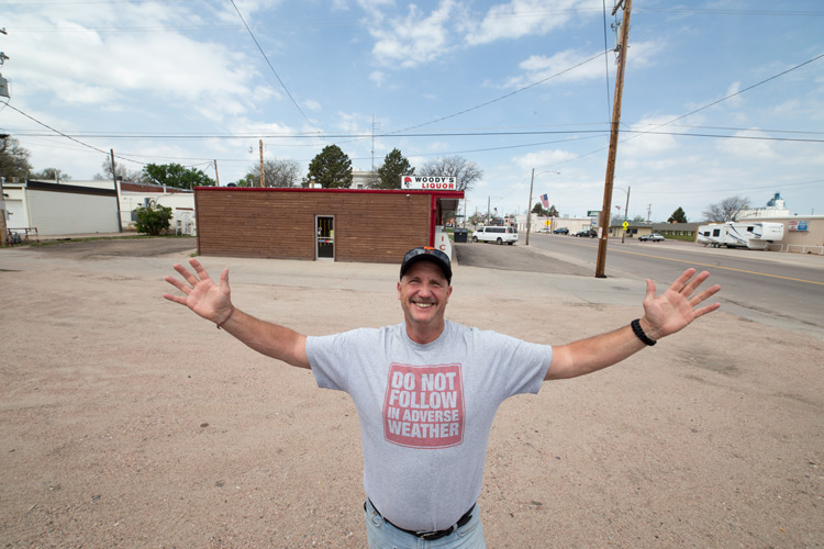
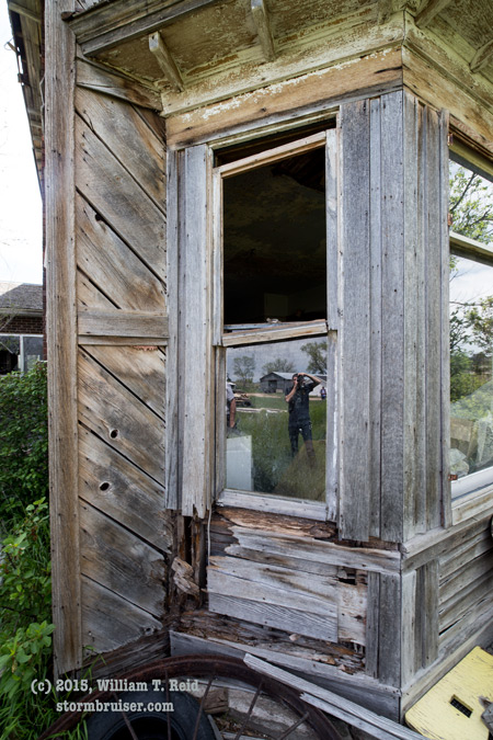
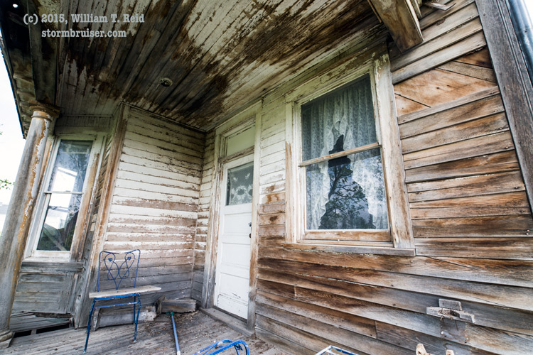
Our Tempest Tours group began the day in Kimball, NE, which was a great spot to begin the day and to play the upslope flow. I figured that some afternoon storms would form near the I-25 corridor and move east into better moisture in the evening. We perused an old house in Kimball and had lunch in Dix, NE, then moseyed on westward to wait for the show to begin.

And we waited. And waited.
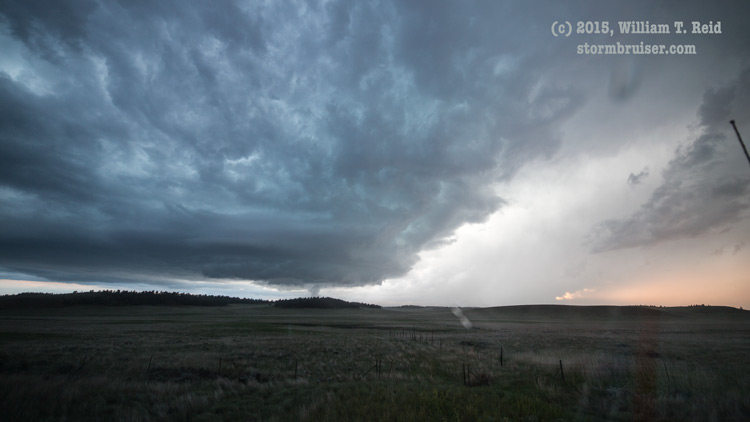
Storms found it difficult to strengthen during the afternoon as the cap was quite strong and the upper-level support had yet to arrive. A Tornado Watch had been issued before 2 p.m., but our target area along the Cheyenne Ridge was enjoying pleasant conditions. We hung out from about Cheyenne to Chugwater for quite a while, watching an area with some agitated cu. Finally, one cumulus cloud showed some signs of life around 6 p.m. MDT. We headed east from Chugwater to get into position, but instead of moving to the northeast or east, it moved more to the north. Once we got to Torrington, the cell was showing some decent structure, but it was still 30 miles or so to our west-southwest.
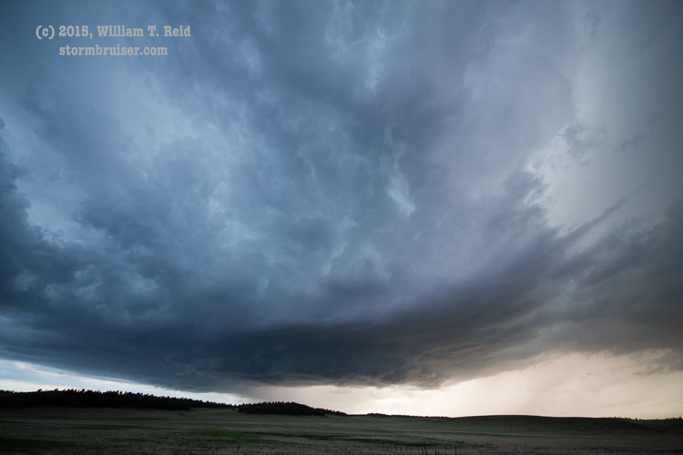
When we reached Fort Laramie, I elected to go north a little to find a hilltop for a view of the new supercell. Other chasers had the same idea, and I was frustrated that the storm, now southwest of Guernsey, was still moving to the north (instead of coming more towards me!). We went back south to U.S. 26 and blasted WNW towards Guernsey and the storm. The cell was a little west of Guernsey, and I tried route 270 from Guernsey to Hartville. This put us in much better position — on the east side of the updraft base — in excellent shape to see the structure, right?! Well, NOPE! The terrain here is lousy for chasers, and the road is near the bottom of a canyon or valley for miles and miles. All we could see was the upper part of the storm. And, by now the sun had set and we only had 30 minutes or so of daylight remaining. So much for our 10 percent tornado-fest day! We continued north of Hartville through more windy (long “i”) roads and interesting-though-aggravating landscapes. Finally, we broke out into some semi-open terrain and had a good view of the storm, to our southwest and west-southwest. But, we had gone so far north that now we were in light anvil rain, and there was a lightning hazard, too! Well, we got out of the vans, anyway, and got some structure images before it became too dark.

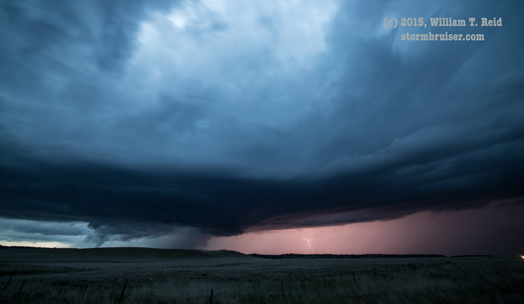
As darkness descended upon the land, we observed some noteworthy lowerings with the storm base, to our west perhaps 7 miles distant. These exhibited tornado-like shapes for a minute or two on a couple of occasions, and they seemed to be in the right place for tornado formation. But, they were just too distant and too fleeting to determine whether they were indeed tornadoes. Our video showed rapid changes in the look of the “scud” cloud, but there was nothing which really showed rapid rotation or flying debris. Some chasers thought these were tornadoes, but my take is “probably not.” We had a decent view, and it is easy to be fooled by scud at night. I need to see better evidence before I can call these tornadoes. We were north of Hartville by 10-15 miles at the time and looking west-to-northwest, and the storm was near-to-northeast of the Glendo Reservoir in Platte County, WY. Our home this night was Torrington. The 10-percent tornado risk area covering northeastern CO and southwestern WY was a big dud this day.
Leave a Reply
You must be logged in to post a comment.