
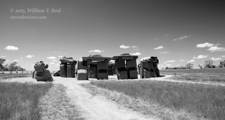
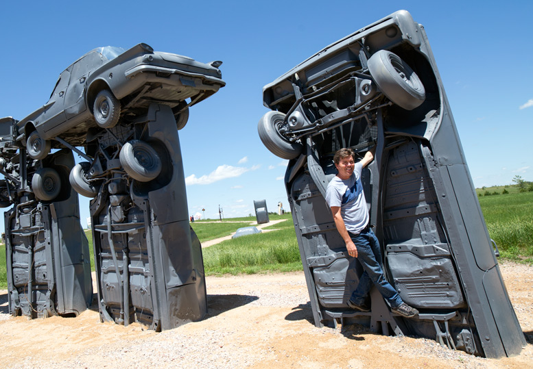
SPC showed a tornado risk of 5 percent from about Gillette, WY, to Sidney, NE, today. A slight risk with a hatched hail area covered much of ne WY, sw SD, and w NE. So, it was with some anticipation that we motored north from Ogallala to Alliance this morning. After lunch and a stop at Carhenge, we continued north into South Dakota as a storm was organizing over the Black Hills.
A mesoscale discussion was issued for the region around 3:30 p.m., and a severe thunderstorm watch an hour or two later.
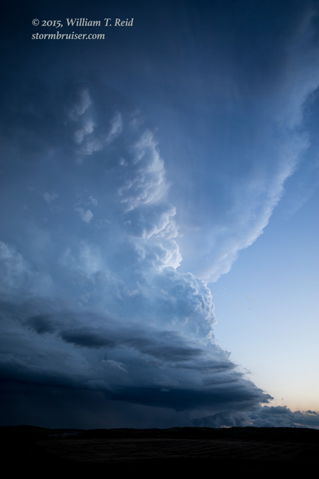
As the Black Hills storm organized and rotated south of Rapid City towards highway 79, we watched from a high spot to its south.
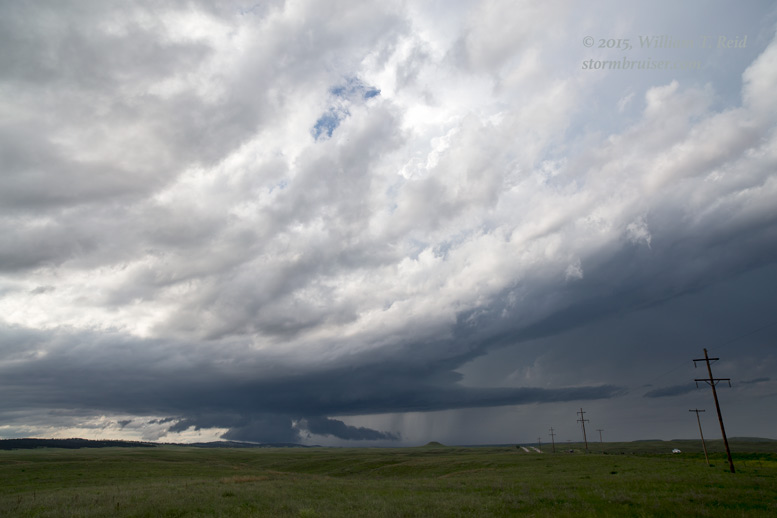
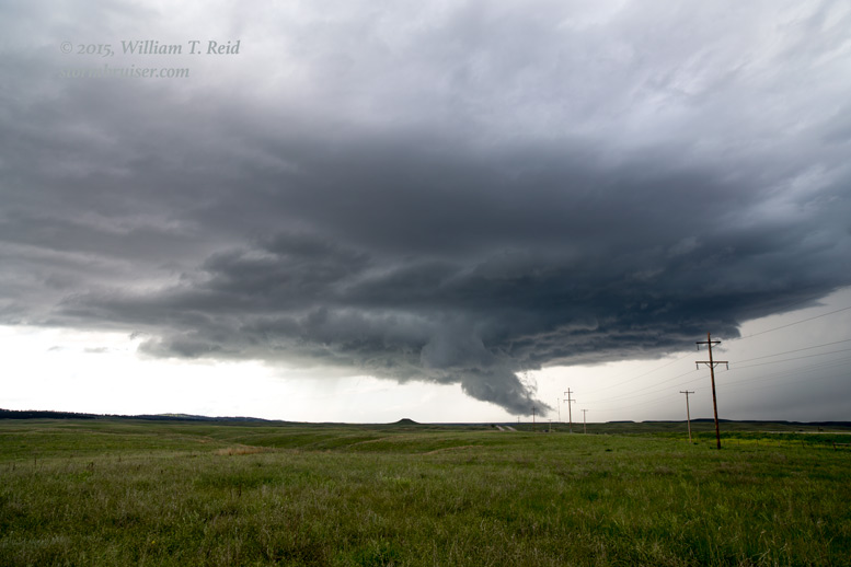
A lowering seemed to scrape the ground, but I did not see any good, organized low-level rotation with it. The updraft was spinning hard, though, and in order to stay with the supercell we jumped on Highway 40 from Hermosa and headed southeastward. I found a high spot off of the highway which afforded a splendid view of the storm!
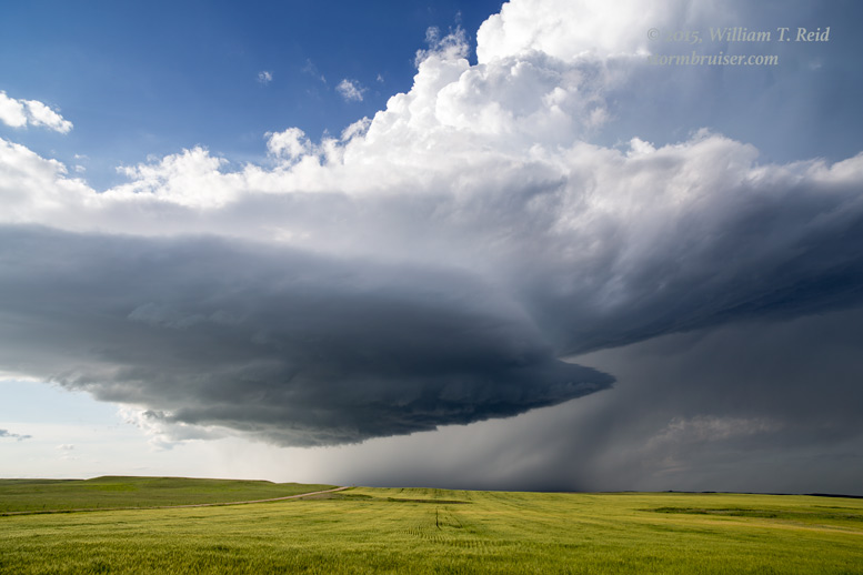
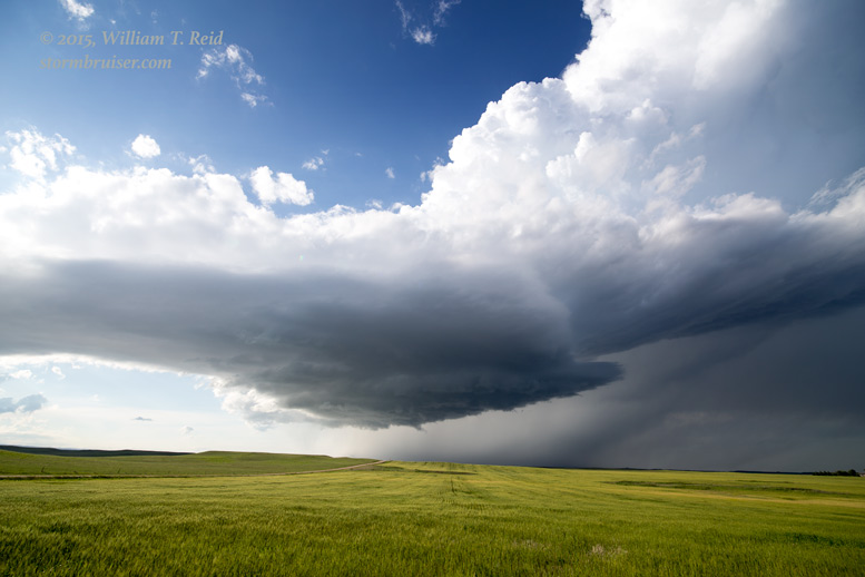
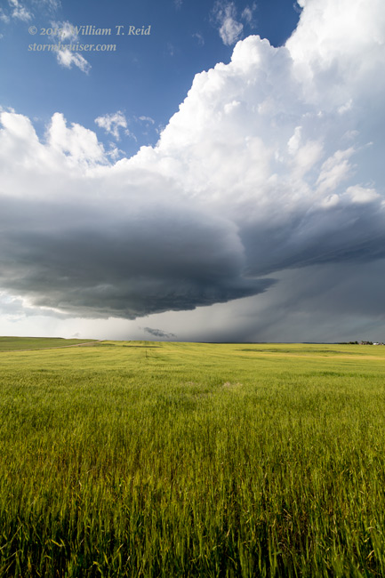
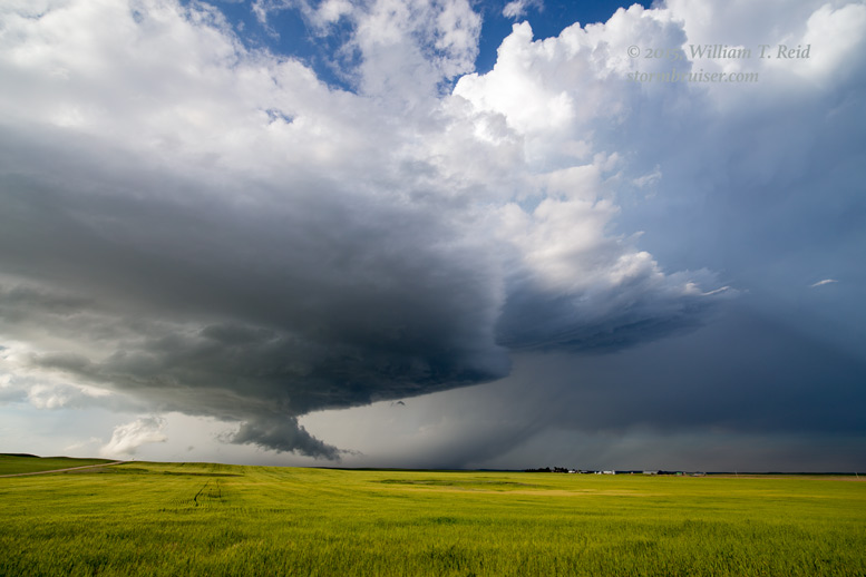
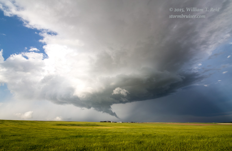
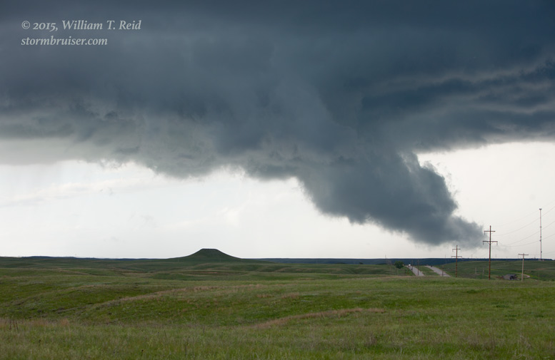
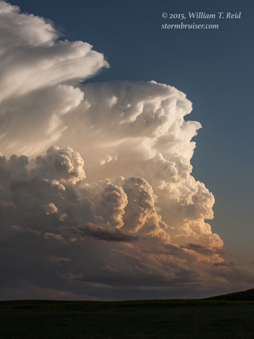
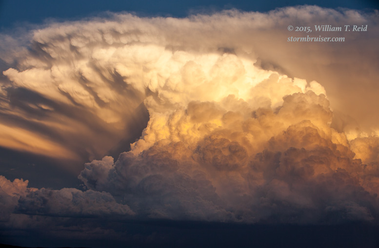
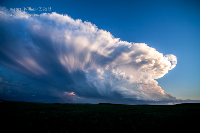
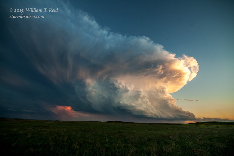
The cell was getting an LP look, and continued to sport a fine wall cloud. From here the road network kind of deteriorated as the cell drifted into the Badlands. I thought that we might have a great photo opportunity with the supercell over the Badlands, so we continued to the southeast on 40 towards Red Shirt. Near there we stopped again to look at the storm, and it was going down the tubes quickly. Bummer.
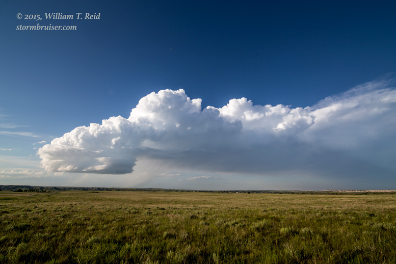
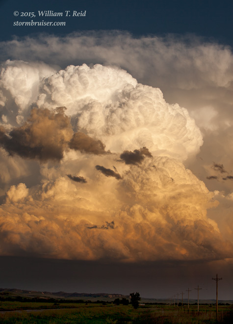
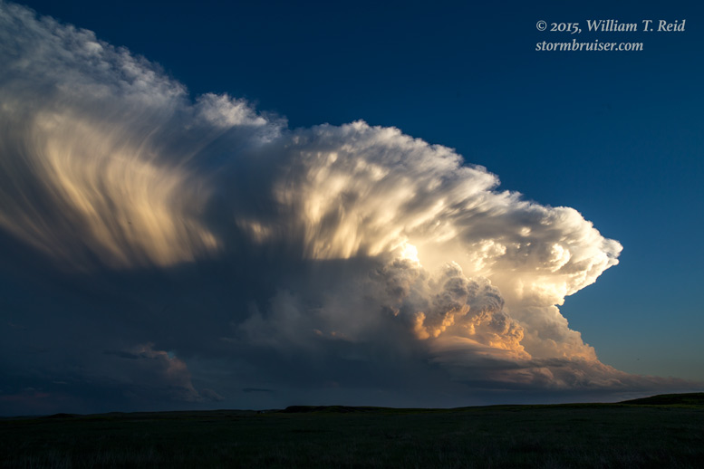
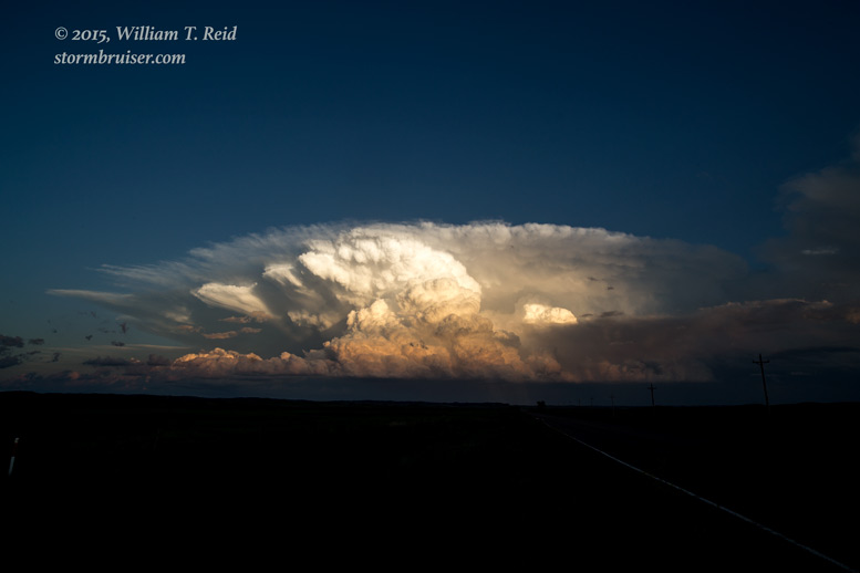
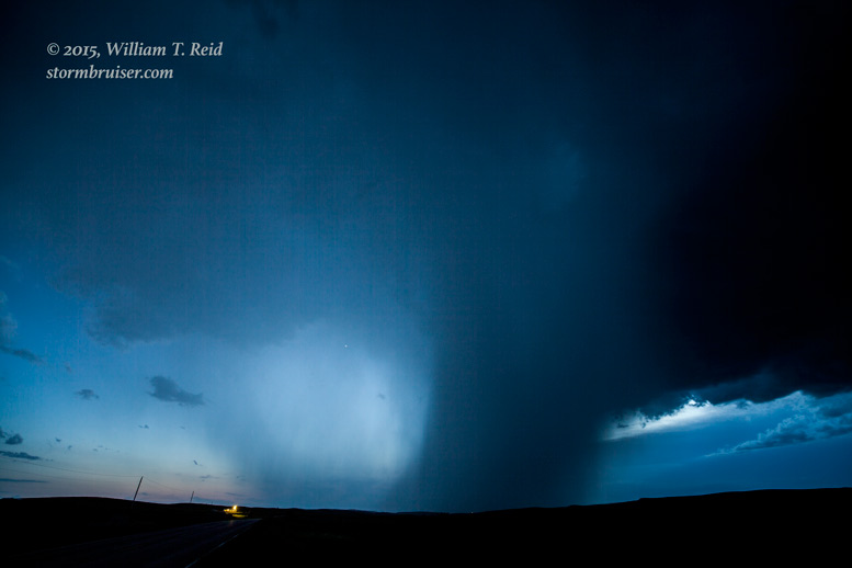
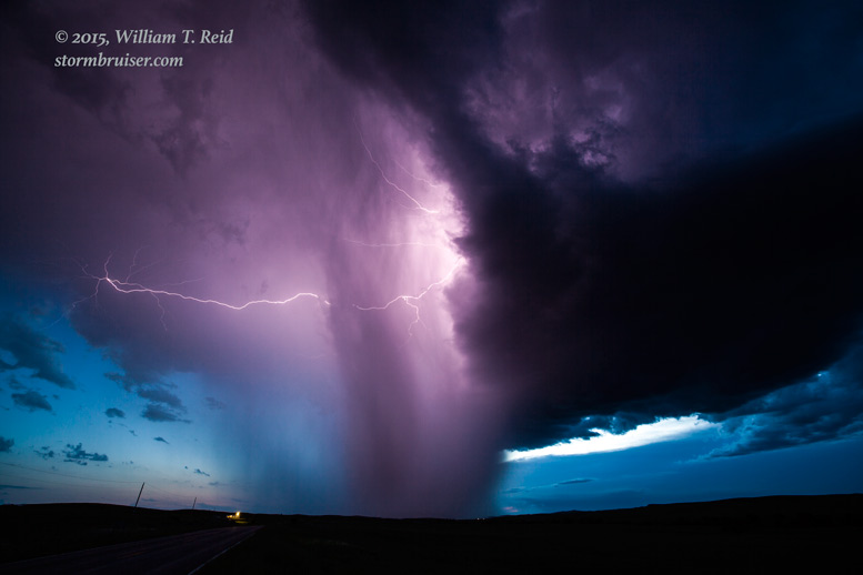
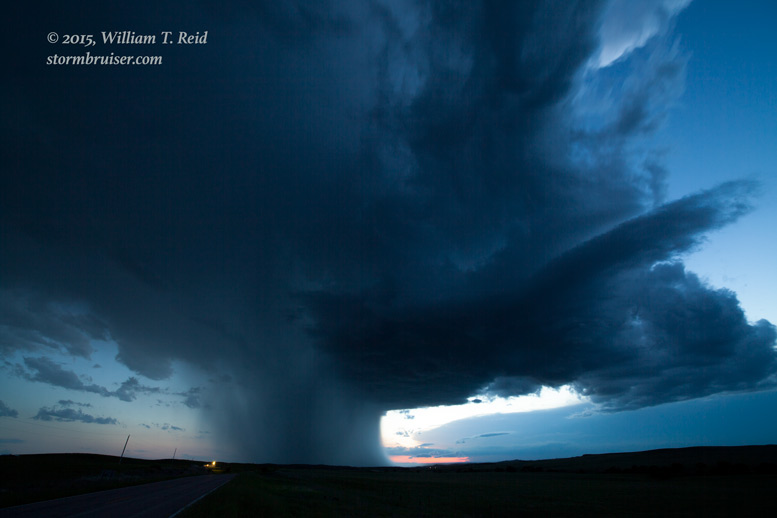
We tried to salvage the day by going after new, strong stuff near the SD/NE border to our south. Near Oglala, SD, we stopped near sunset to photograph some impressive convection against the South Dakota sky. One big updraft was to our WSW, another was to our SSE, and a couple of others were to our east. And, zillions of bugs were all around us and we were suffering immensely just by being outside. The air was still and this was about the worst I have ever experienced, bug-wise! Anyhow, I did manage to get some pretty shots.
Leave a Reply
You must be logged in to post a comment.