Stormbruiser.com

William T. Reid

  • About
  • Video Links
  • Climate
  • Categories
    • Astronomy
    • Aurora/Northern Lights
    • Artsy
    • Airports (LAX and VNY)
    • Animal Day
    • Beach
    • BEST and MOST POPULAR
    • Chase Season Summary
    • Chasers and friends
    • Cumulonimbus
    • Death Valley
    • Desert
    • Desert/Mountains
    • Elevated photography
    • Eyesores
    • Fire
    • Flooding
    • Hurricane
    • Landscapes
    • Lightning
    • Local: Conejo Valley/San Fernando Valley
    • Mid and High Clouds
    • Nighttime photography
    • Old Stuff
    • Rainbows/Optical Phenomena
    • San Nicolas Island
    • Storm Video Sales
    • Stormy Skies
    • Stupid Bugs
    • Sunsets and Storms
    • Supercells
    • The City
    • Tornadoes
    • Unusual Clouds
    • Vegetation
    • Wind and Dust
    • Winter Weather
  • Contact
You are here: Home / 2015 / June 25, 2015 western Nebraska storms

June 25, 2015 western Nebraska storms

June 25, 2015 By Bill Leave a Comment

150625_2614_Bushnell_NE


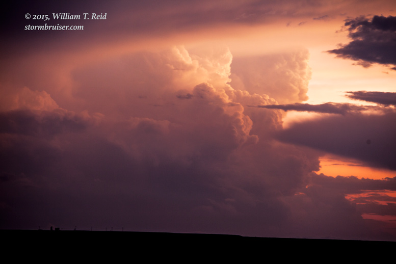
A long drive from western Iowa was staring us in the face this morning, as the risk for severe weather was well to our west.  SPC showed an “enhanced” slight risk of severe storms from about Goodland to Chadron.  My forecast and strategy today — get to North Platte and Ogallala and find a storm.   The tornado chances were very slim.  Lunch was at a Runza in Kearney, and as we continued to the west, a long-lived supercell was diving southeastward through the Sand Hills and aiming for I-80 between Ogallala and North Platte.   We exited near Roscoe and watched the storm approach.


150625_8368_Bushnell_NE 150625_8387_Roscoe_NE150625_8374_Bushnell_NE 150625_8370_Bushnell_NE 150625_8380_Roscoe_NE


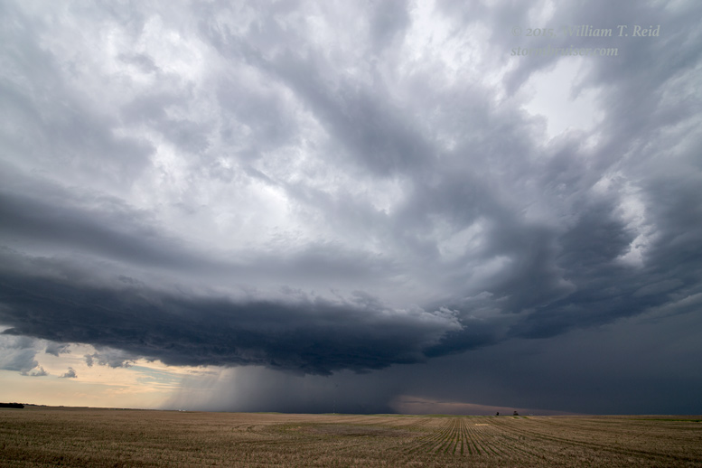
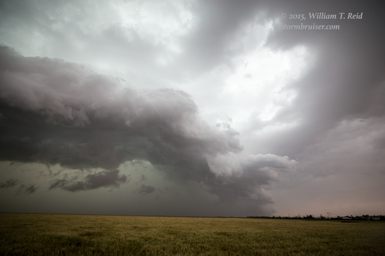
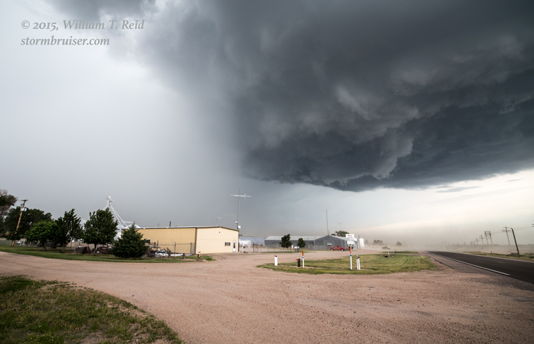
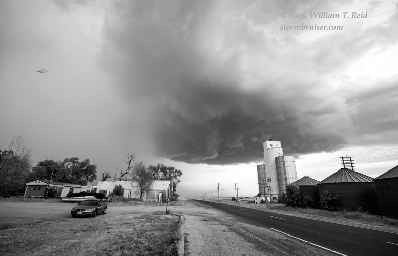
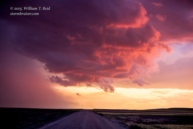
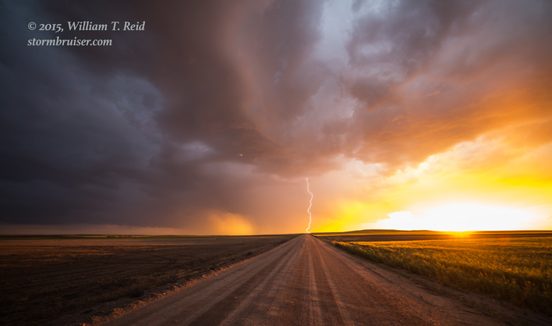
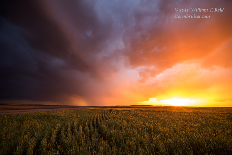
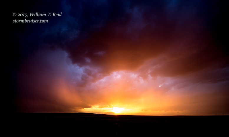
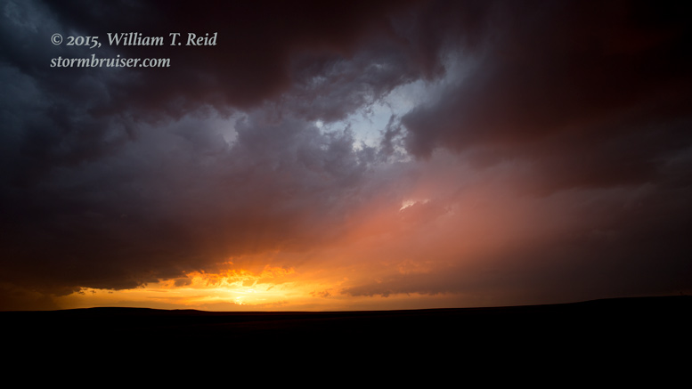
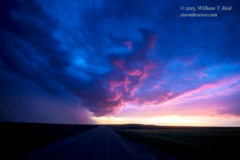
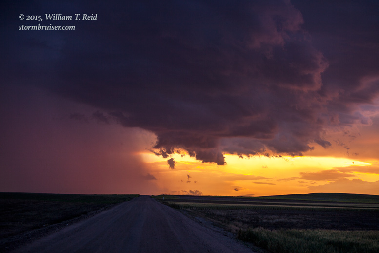
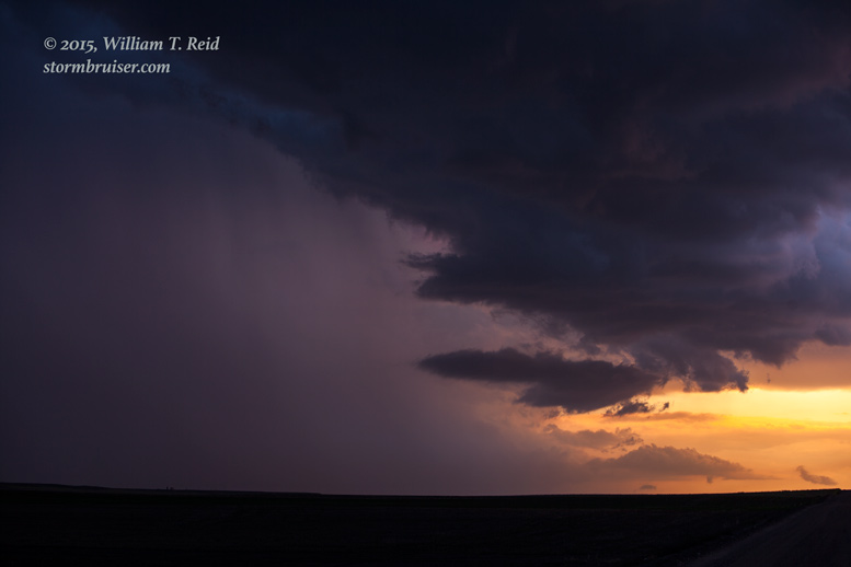
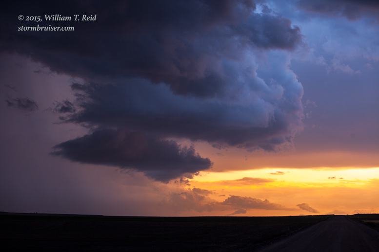
It didn’t look half bad early on.  Its base passed just to our east at Roscoe, and hail up to half-dollar size was in the core.  But, then the cell decided it had had enough and it fizzled very quickly.  We continued westward, and were a little too late to see a tornado that was reported near Bridgeport, NE. Convection got a bit messy in the southern Nebraska Panhandle, and I decided to go for some semi-new storms near the Wyoming border.  We set up south of Bushnell at sunset, and managed a few pretty pictures.  None of the storms here were well organized.

(The following day was the final one for Tour 7.  We headed down to the Pueblo area and came up to a rotating updraft west of there, near Penrose, but the storm was DOA.  I didn’t even get the camera out.)


150625_8399_Bushnell_NE 150625_8404_Bushnell_NE 150625_8411_Bushnell_NE 150625_8418_Bushnell_NE 150625_8426_Bushnell_NE 150625_9790_Bushnell_NE150625_2610_Bushnell_NE 150625_2614_Bushnell_NE 150625_2627_Bushnell_NE 150625_2637_Bushnell_NE


Filed Under: 2015, Sunsets and Storms, Supercells

Leave a Reply

You must be logged in to post a comment.

Search

June 2015
S M T W T F S
 123456
78910111213
14151617181920
21222324252627
282930  
« May   Jul »

Categories

Archives

Copyright © 2025 stormbruiser.com · Log in