A strong storm system was approaching Southern California this weekend, with a wet and windy front expected on Sunday, January 31st. On the day prior, fast westerly flow aloft was forecast across the Northern Deserts and the Death Valley region. It looked like a decent setup for some impressive mountain wave/lenticular clouds near and around the Southern Sierra and the western Mojave Desert mountains. These clouds sometimes form prior to the arrival of the cold front and the cold air aloft. They form in stable layers in the mid-troposphere where air is rising, often above or just downwind of a mountain range. Strong winds from the west (around the 700 mb level especially) slam into the north-south oriented ranges and air is forced upward. If there is enough moisture in the layer, then the cooled air condenses into a cloud and a laminar-sided lenticular is the result. And aren’t you glad you come to Stormbruiser for all of your wave-cloud formation information?
I checked the satellite image for Southern California on Saturday mid-morning, and a couple of small lenticulars over the Northern Deserts seemed to be diminishing. I called a friend who was interested in joining me, but this information soured him a little on the notion of a wave-cloud chase. These types of “chases” have a high bust potential, and he decided to take care of other errands this day given the unfavorable trend. I kind of blew off the prospects, too. I didn’t want to make the 2-to-3-hour drive (one way!) and wind up with just a desert sunset. But I checked the satellite picture again on a whim a little after 1 p.m. Wow — lenticular clouds were popping up all over the Northern Desert region now! You can tell that the clouds are “lenticular” because they generally stay in the same place — they are anchored to the terrain. These are ACSL, or altocumulus standing lenticular clouds.
I decided to head out right then and there, as there were four hours remaining until sunset and I could get to where I needed to be by about 4 p.m. —- somewhere between Mojave and the Panamint and Owens valleys. I called my buddy again, but no answer. Sorry, Charlie!
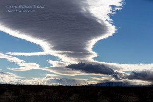
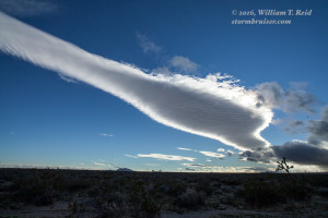
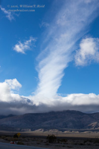
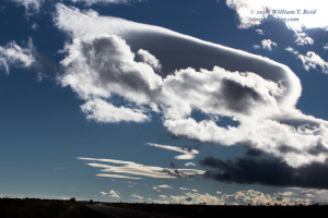
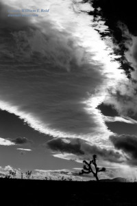
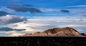
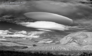
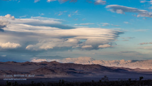
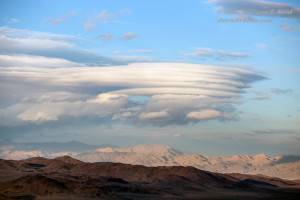
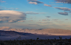
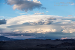
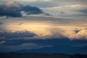
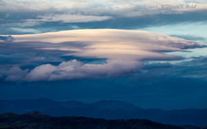
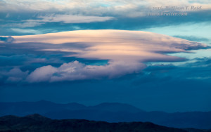
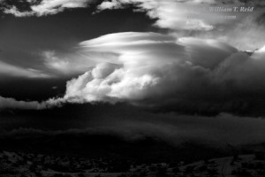
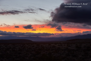
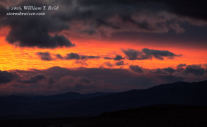
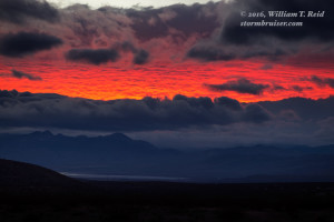
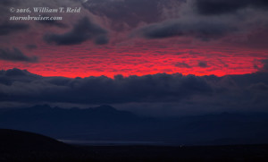
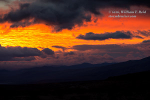
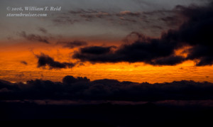
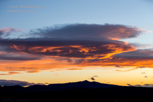
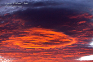
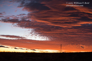
In under two hours I was near Mojave. There were plenty of low clouds blocking my view of the sky above — not good! But I could see better clearing and maybe some lenticulars to the north and northeast of Mojave. I stopped north of Mojave and west of California City, and a good number of new lenticulars were forming, from southwest to west to north! A long and rather high one was spreading overhead. Another couple to the northeast were looking better and better and were not as high up. I snapped a few pics of the one nearby and headed through California City and then northeast towards Randsburg and Red Mountain. As I neared U.S. 395, a massive lenticular came into view to the north-northeast —– darn! I needed to be way up there, but it looked to be at least 70 miles away, and sunset was less than an hour away. I headed north on 395 to Red Mountain, and it appeared that the big stacked lenticular was near the Panamint Valley and the Panamint Range, maybe 50 miles distant. A nice spaceship-shaped lenticular was looking really nice near Red Mountain, and I took a few stills of that. I then found a high spot between Red Mountain and Trona with a good view of the show to the north, above the Panamint Valley. It would have been great to have been on the Panamint Valley overlook north of Trona for that stacked lenticular! But my zoomed-in shots with the 70-200mm lens did a good job. Just after sunset the sky to the west lit up a deep red beneath a high cloud deck, and that “big” lenticular near California City glowed red at dusk. The lenticular chase wound up being well worth it!










Leave a Reply
You must be logged in to post a comment.