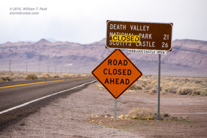
On the previous evening, February 17th, the skies were getting dark and the camera was in the bag for the night. I was sitting in the X-terra, and parked on the side of 190 on the west side of Death Valley, southwest of Stovepipe Wells by a few miles. I was trying to decide what to do next. Did I want to stick around out here for one more day, and check out the wildflowers here in Death Valley? Or did I want to “call it a trip” and start the five-hour drive home? I was thinking about just sleeping in the vehicle to save 60 bucks on the motel. That was not appealing. I was thinking about being in my nice and warm bed by about midnight. That was appealing. If I were to get a motel, it would be “over the hill” at Beatty, about an hour away. I could not decide, and I sat there for 15 minutes. I turned on the NOAA weather radio. It is not unusual to just receive static on the weather frequencies way out here, but for some reason I was getting a station that was providing the forecast for Tonopah, about 100 miles to the north. I wasn’t listening that closely as the automatic voice droned on and faded in and out. But then I heard the word “thunderstorm.” Huh?!
I listened closely to the next cycle, and the NWS was giving a chance of thunderstorms to the Tonopah area the next morning. Hmmm…that was odd. Thunderstorms in western Nevada on a February morning? I thought that was a bit of a stretch. But, it would be fun to see how things worked out. I headed over to Beatty for the night.
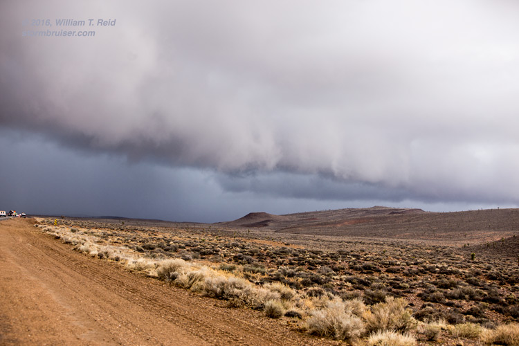
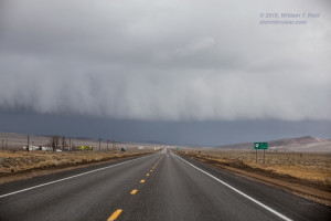
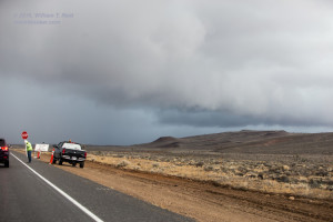
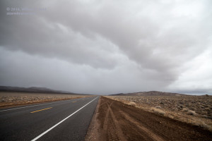
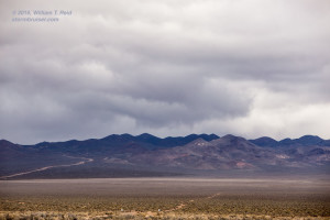
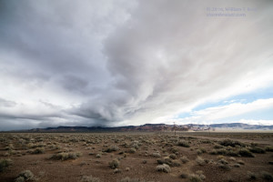
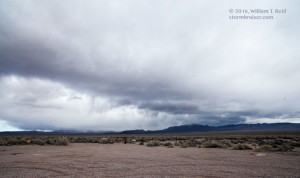
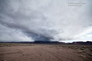
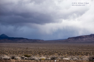
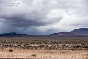
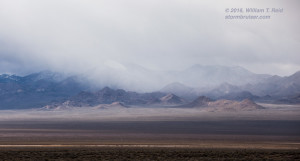
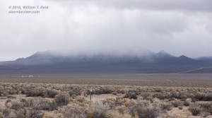
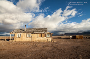
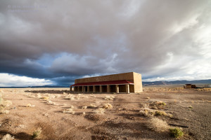
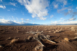
I got out of Beatty around sunrise on the 18th. I wasn’t particularly excited about the weather prospects about an hour up the road, but I was close, and decided to head up U.S. 95. I spent some time lolly-gagging around the mostly-empty Sarcobatus Flats. The light was nice on the few abandoned structures near the road. Farther to the north, near Lida Junction, in Esmeralda County, darker clouds were looming. South-southeasterly winds were feeding into the activity. There was even a little low-level organization and cloud structure down the road to the north! Now THAT is interesting! There looked to be a storm cell with a rounded look to the base —- this was probably a supercell! It was not a strong one, but it even had the “backwards C” shape in the leading edge of the base, which strongly suggested rotation and organization in the cell. As luck would have it, I came right up to a road construction stop as I neared the storm. What are the odds of that —- out here in the middle of nowhere in the Nevada desert, just south of a supercell on a February morning before 9 a.m., and am stuck at a flagman. There was NO way to chase this storm, though, as it was moving into the Nellis Test Range. I backed off from the flagman stop and got a few more pictures, and the cell drifted off to the east into some mountains. I saw one lightning flash in the core — whoohoo!!
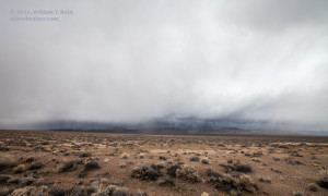
Additional showers to my west forced me back south into Sarcobatus Flats. Another weak storm with some supercell characteristics developed on the east side of the flats, with a good-sized wall cloud for a time. Not bad for a mid-February morning in the desert! The energy and front continued to the east, and my area was left behind with fair weather. I filled up again at the same gas station in Beatty and began my flower-viewing jaunt into Death Valley.

Leave a Reply
You must be logged in to post a comment.