A large trough of low pressure was approaching California from the west on Monday, March 21. The strong flow at mid-levels from the west-southwest would be impacting the Sierra Nevada and other north-south-oriented desert mountain ranges at a “right angle,” so that meant a lenticular cloud event was in the works! What the lee of the Sierra and the Mojave Desert lack in terms of precipitation events, they make up for with spectacular “wave cloud” formations.
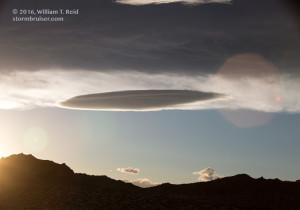
Before heading out late morning, I checked the forecast weather charts and noted that the Trona/Searles Lake and Death Valley regions appeared to be in a favorable area for wave cloud development around sunset. The axis of strongest 500 and 700mb winds would be over these areas around sunset as it migrated to the southeast. My ultimate goal was, or is, to place myself fairly close to a massive, multi-stacked, spaceship-shaped lenticular cloud just after sunset, lit up with the oranges and reds and pinks at dusk, filling up most of my wide-angle 15mm lens, above a bleak and foreboding and breath-taking desert landscape. Is that too much to ask for?!
Lenticulars, or ACSL clouds (altocumulus standing lenticular), are not particularly difficult to forecast, nor are they particularly difficult to “chase,” as they are stationary. But they are fickle, they can be extremely transitory, and they can cause much consternation for the ACSL chaser. If you are checking out a satellite picture, and see some nice lenticular development 200 miles distant, then chances are very good that the development won’t be nearly as good upon your arrival, three hours later. There is a lot of luck involved on a lenticular cloud chase, but, like anything else, if you persevere and learn and keep at it, you will observe some good stuff.
I reached Mojave around 1 p.m., beneath a high overcast. That was not good, as far as photography, should wave clouds form beneath the cirrus. But it was early and the cirrus would probably move out eventually. I checked the satellite picture again and noted the nice wave-cloud development in the lee of the southern Sierra Nevada.
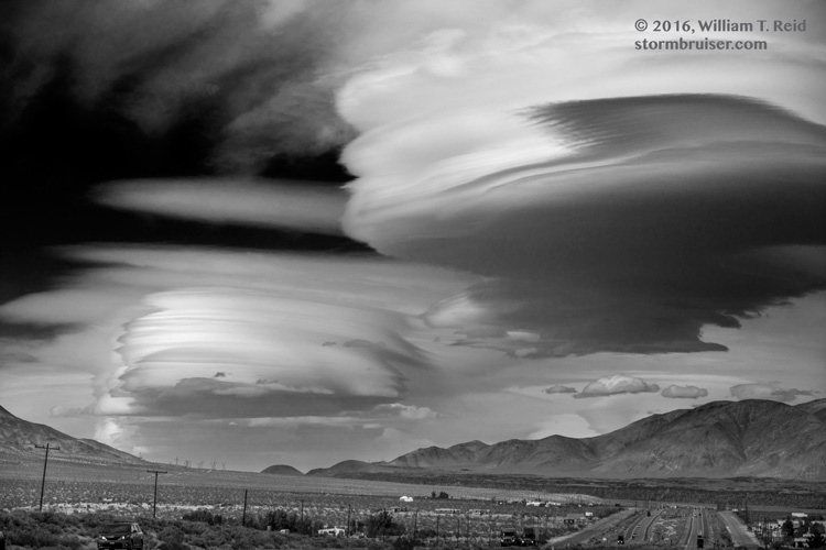
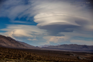
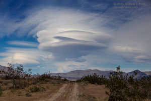
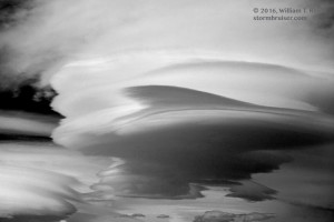
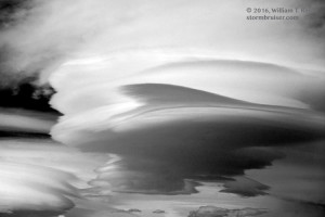
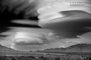
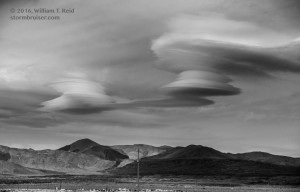
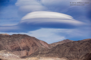
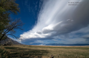
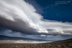
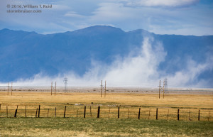
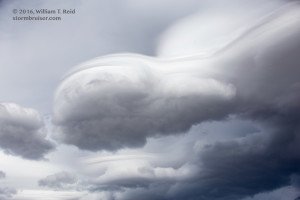
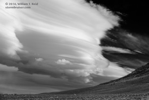
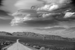
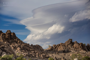
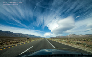
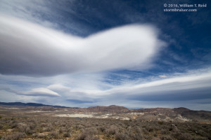
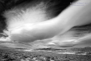
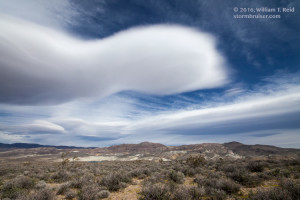
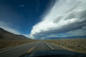
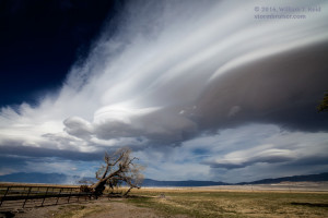
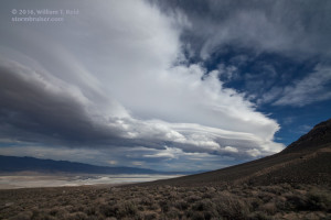
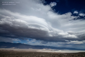
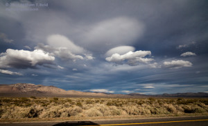
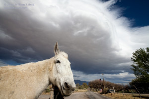
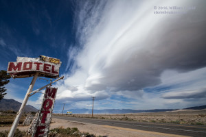
About 20 miles north of Mojave is the road to Randsburg and Trona, to the northeast. Though I figured that I might need to be up that way later, I had to check out the “Sierra wave” first. I continued north on CA 14 to Pearsonville. By this time, the high clouds had mostly cleared. Deep blue skies abounded, and there were plenty of awesome lenticulars in various stages of awesomeness around! The best ones were to the north, probably 40 to 60 miles away, over Owens Lake and vicinity. I stopped to get some long-lens shots of these tremendous and stacked lenticulars — some of the best I have ever seen! I stopped again around Haiwee Reservoir for some wide-angle shots as large lenticulars were just to my north and east, and I did the same along the western edge of Owens Lake. The wave cloud coming off of the Eastern Sierra crest was hovering right over the Owens Valley. It extended a good distance north and south, with really nice laminar banding on the western edge. I headed up the side of the Sierra a little bit on Horseshoe Meadows Road, southwest of Lone Pine, to try to get a better perspective. This worked out nicely, though it was quite windy and dusty! The cloud soon began to dissipate, though, and newer and more impressive lenticulars were visible to the distant east and southeast. It looked like my forecast for good lenticulars near Trona and Death Valley around sunset would materialize, and I needed to move fast! A second Stormbruiser page features the images for images taken around sunset near Trona. Here is the link to that post.

Leave a Reply
You must be logged in to post a comment.