Chris Gullikson’s video for this event
Start (for me): Las Cruces, NM
End: Fort Stockton, TX
The Tempest Tours chase season began in mid-April, around the 15th. I was not able to work as tour director for Tempest until about halfway through “Tour A,” so Chris Gullikson took the reigns until I could meet the group. I made my way from California on April 18, and stayed in Las Cruces, NM, that night. Fortunately, the risk for severe weather on the afternoon of the 19th was “way out west” in West Texas, making my drive into the target area a relatively easy one. And, Chris and Marcia and the Tempest guests would be looking at the same area and we would be able to meet up.
SPC Day One convective outlook (20Z)
spc-mesoscale-discussion-417 (W TX 1:15 p.m. CDT)
spc-mesoscale-discussion-419 (W TX 6 p.m. CDT)
I made my way east on I-10 and, with the help of Chris, determined that the place to be by 2 or 3 p.m. was Fort Stockton, right on I-10 in Pecos County. I arrived in town around 2 p.m., and clouds were starting to build above the sun-bathed desert landscape. The Storm Prediction Center was not especially impressed with the setup today. The area was given a “marginal” risk for severe, and the 2% tornado outline was on the north side of I-10. The mesoscale discussion map made in the early afternoon (see above link) showed CAPE values of 2000 J/kg as far north as Fort Stockton. Shear seemed to be more than adequate, given mid-level westerly winds of 35-40 knots above easterly surface flow. What was there not to like about today?!
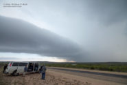
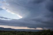
I gassed up in Fort Stockton and called Chris to let him know about the large tower going up a little south of town. Another tower was looking pretty good a little east of town. Chris and company, making their way west, had their eyes on the eastern cell, but that one fizzled while the one near me grew larger and organized. Soon we were all teamed up along U.S. 285 (the Sanderson Highway), watching the base of a supercell come together to our northwest. This was perhaps 10-15 miles southeast of Fort Stockton. Of course, the road network out here south of Interstate 10 is nil. I was hoping that the storm would stay close to U.S. 285, as it was all we had to work with. As the base organized, it seemed to drift more to the south. That was good, as it suggested strong rotation in the updraft as it “propagated to the right.” But it was bad, too. The storm’s anvil rain was moving over our location and forcing us southeast along 285, taking us farther and farther away from the base and the action area.
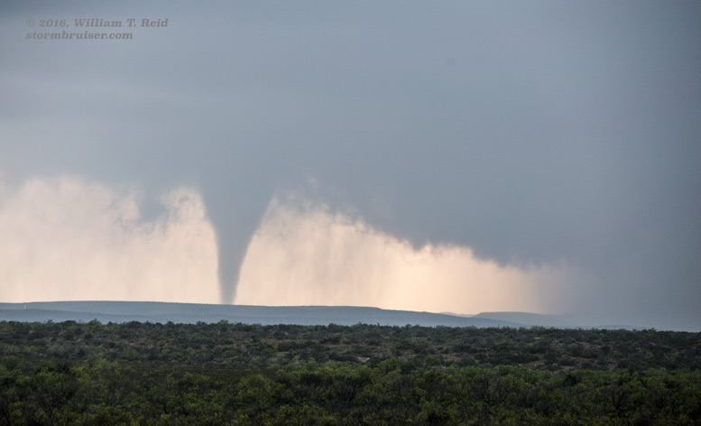
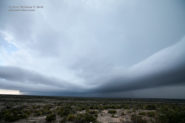
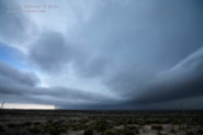
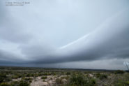
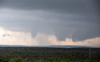
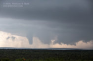
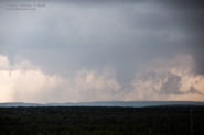
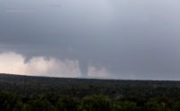
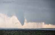
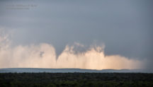
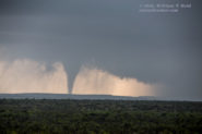
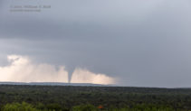
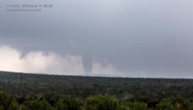
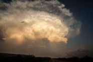
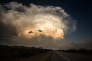
Our two-vehicle group was near 285 and Puckett Road, perhaps 25 miles southeast of Fort Stockton, when the storm base and wall cloud well to our west began to issue a funnel cloud. The funnel persisted for quite a while and teased us, and finally an obvious tornado was on the ground and in progress. It was difficult to know exactly how distant it was, but my guess was 8 to 12 miles to the west or thereabouts. I would not be surprised if it was actually closer to 15 miles distant. There was nothing out there except empty scrubland. The tornado persisted for nearly ten minutes. Anvil rain became more of a problem again, and the tornado was obscured more and more from our viewing location. All we could do was move farther away along U.S. 285, to the southeast and even east-southeast, while the storm drifted to the south. The storm became more HP and we did not observe another tornado, though another base sported a good wall cloud later on near Sanderson. At sunset we were west of Sanderson, with a good look at the backside of a strong updraft to our east.
All in all, it was not a bad day for the first chase of the season! Our target area worked out perfectly. There might have been one or two other chasers along U.S. 285, otherwise we had the storm to ourselves. I don’t think that NWS Midland would have known about the tornado if I had not called them to let them know, once I had a cell signal! SPC never did issue a watch — they tend to be stingy with the watches out here in the desert wastelands.
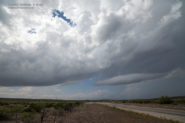
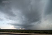
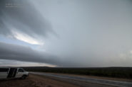
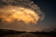
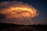
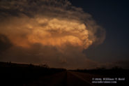
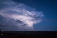
The images below include some wide-angle looks at the storm structure prior to and during the tornado, and the pretty cumulonimbus near Sanderson around sunset.


Leave a Reply
You must be logged in to post a comment.