

Chase start–Fort Stockton, TX; lunch–Fort Stockton (The Steak House); end–Lubbock, TX; 489 miles
Fresh off of our successful tornado catch the day before, we headed east-northeastward from Fort Stockton to try our luck again in west Texas. And, again, the Storm Prediction Center was lukewarm with regard to severe weather prospects, at least during the daytime. A slight risk was painted up north from about Turkey to Abilene, but that was for activity expected after sunset, and where cooler air and low clouds were currently. I was looking at the area around San Angelo, near a boundary with warmer low levels and sunshine.
spc-mesoscale-discussion-424 (W TX 3 p.m. CDT)
spc-mesoscale-discussion-425 (TX PH 6 p.m. CDT)
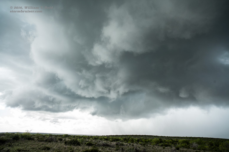
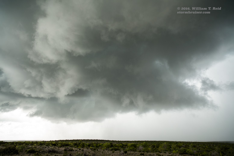
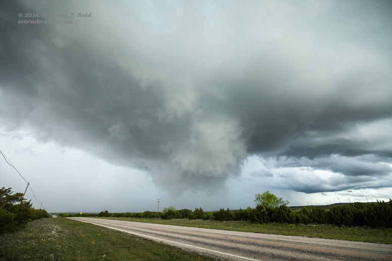
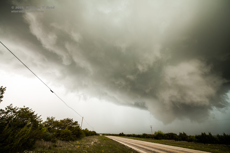
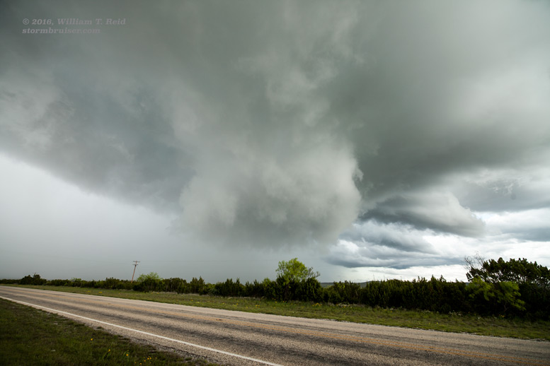
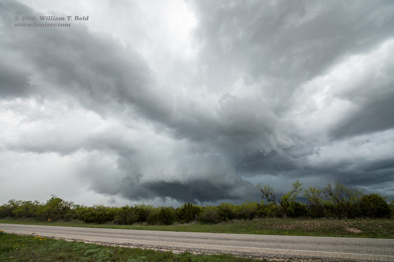
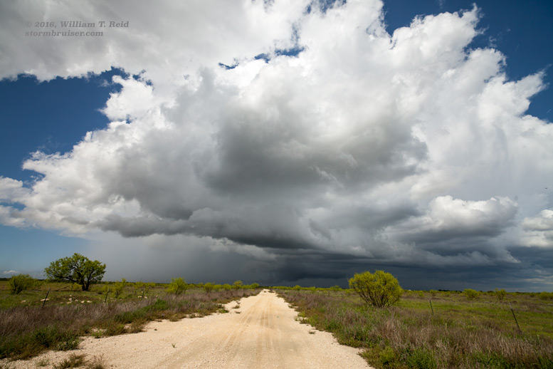
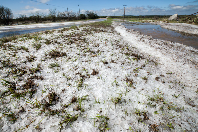
Like yesterday, shear and instability appeared to be more than adequate for a supercell. A tornado certainly could not be ruled out, but SPC had the 2% tornado area farther north. We observed some building cumulus clouds to our east as we motored east on U.S. 67 through Big Lake and Barnhart. A storm developed near Mertzon, to our east, and we braved some hail near the core and managed to get south of the updraft base, on FM 915 perhaps 7 miles south of Mertzon (in Irion County). This base was quite dramatic and it had a splendid wall cloud, but no low-level rotation was apparent with the wall cloud. The storm drifted to the east and started to weaken gradually. We had seen it at its best, at least! The cell left a swath of hail in its wake south of Mertzon, with stones as large as two inches in diameter.
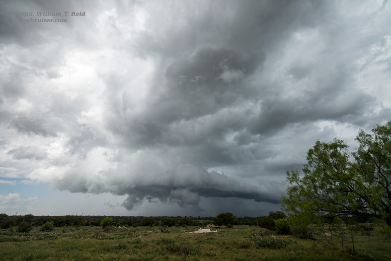
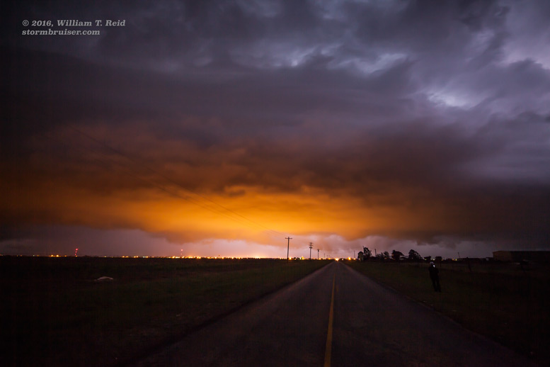
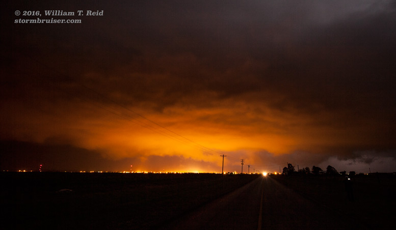
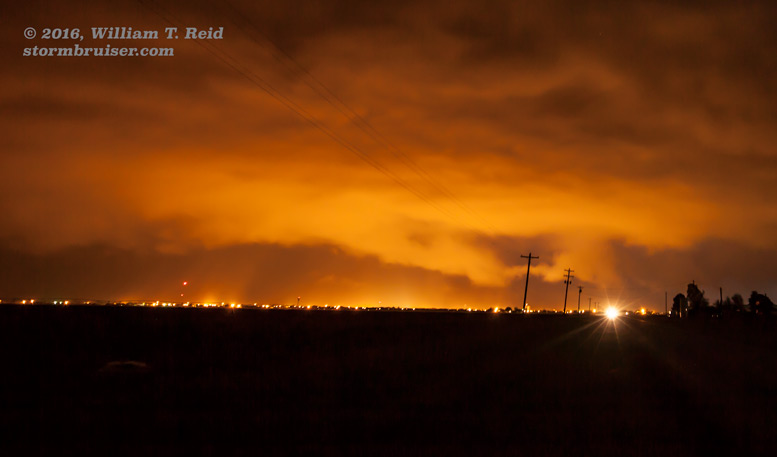
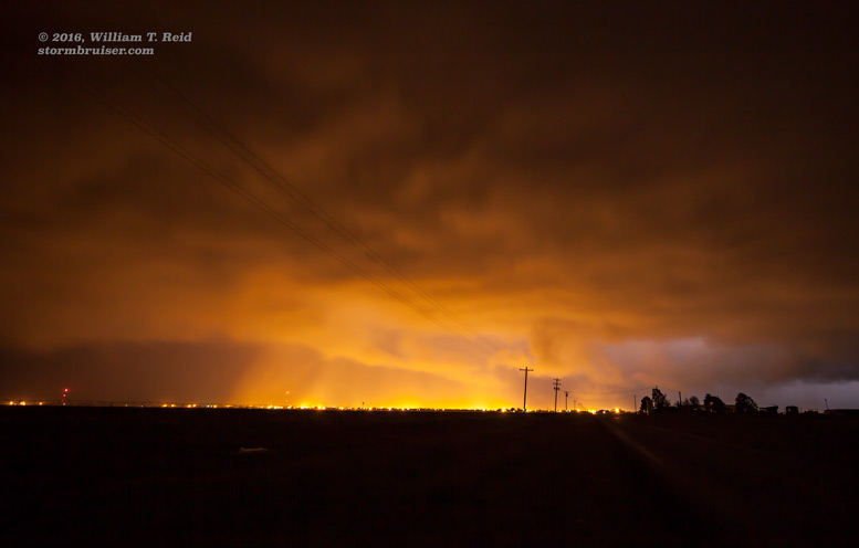
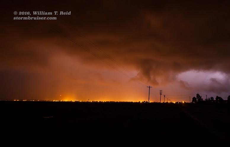
We waved “goodbye” to the dying CB, but there were still several hours of daylight remaining. We headed northward for the expected development towards evening, and got on a storm that was looming in the dark just north of Floydada. We watched from south of Floydada. Occasional lightning and the lights of the town showed a lowered area beneath the base, and the storm was severe-warned. It appeared to be somewhat outflowish, though, and we observed no signs of a tornado.
Leave a Reply
You must be logged in to post a comment.