
Start, Pampa, TX; end Pampa, TX; 278 miles; lunch, I forget.
Low-level moisture was finally coming back northwestward onto the High Plains, and severe weather looked likely in the Texas Panhandle region by late this afternoon. By 20Z, SPC had a slight risk for severe and a 5% tornado risk outlined from Stratford to Pampa to Post.
SPC Day One Convective Outlook (20Z)
spc-mesoscale-discussion-485 (TX PH 3 p.m. CDT)
spc-mesoscale-discussion-487 (TX PH 6:30 p.m. CDT)
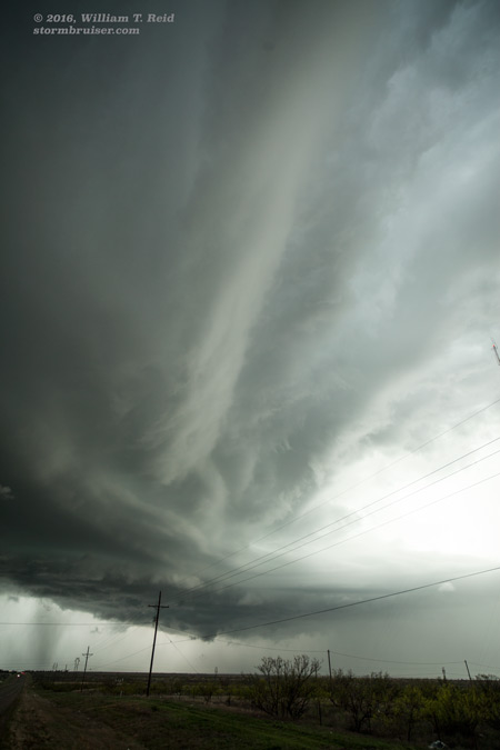
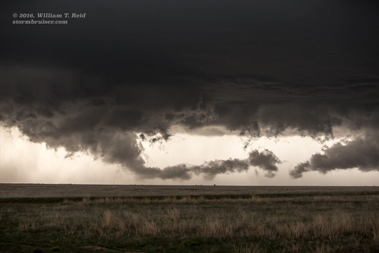
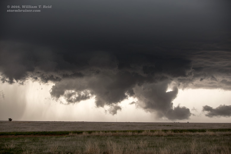
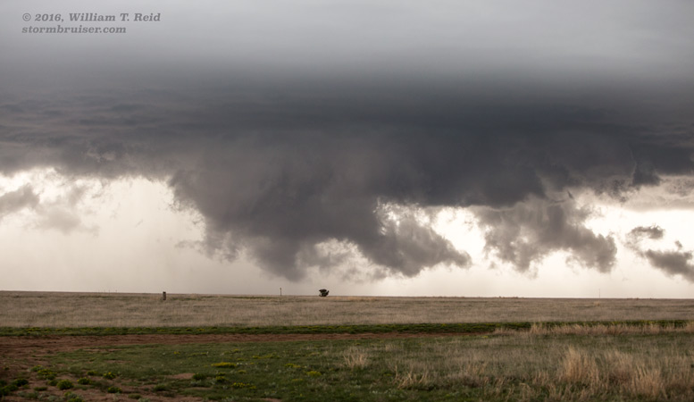
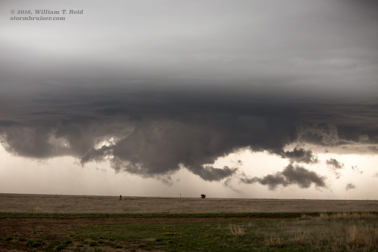
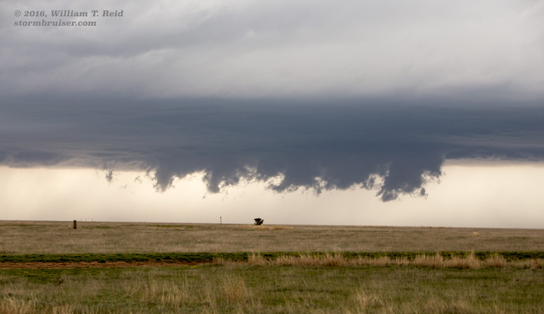
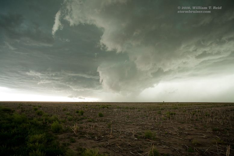
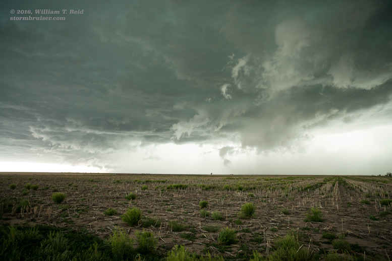
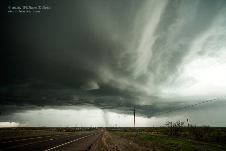
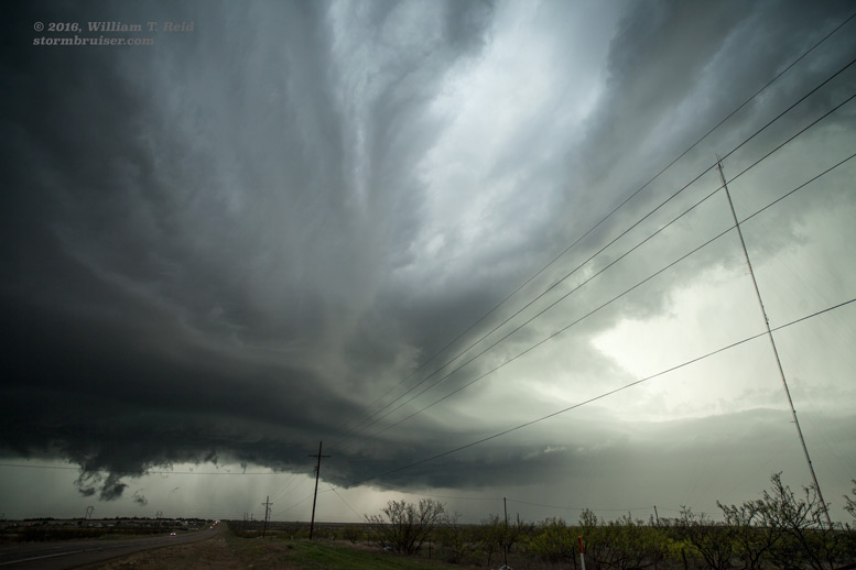
I targeted the area north of Amarillo, and we were in position to watch a storm with a low base strengthen west of Stinnett. The storm was about halfway between Stinnett and Dumas, and a variety of scuddy lowering and wall clouds teased the ground to our northwest. We were forced east by precipitation. Another cell to our southwest caught our attention, and from Borger we dove south to get in front of that one. This cell was near Lake Meredith and Fritch, and it was not moving the way that I thought it might. By the time we were east of it, maybe 20 miles south of Borger, it was still too far away. I thought it might move faster to the east, but it seemed to be moving slowly to the northeast. Back to Borger we went, and then to the west side of Borger to get in front of the updraft. Finally we got to a hilltop that was not too cluttered with signs and poles and junky buildings, and we had a great view of the northeast side of this beastly updraft! The storm was HP, and after maybe ten minutes we had to bail back east through Borger to avoid a beating by hail. Thereafter, the storm seemed to weaken and was not as impressive.
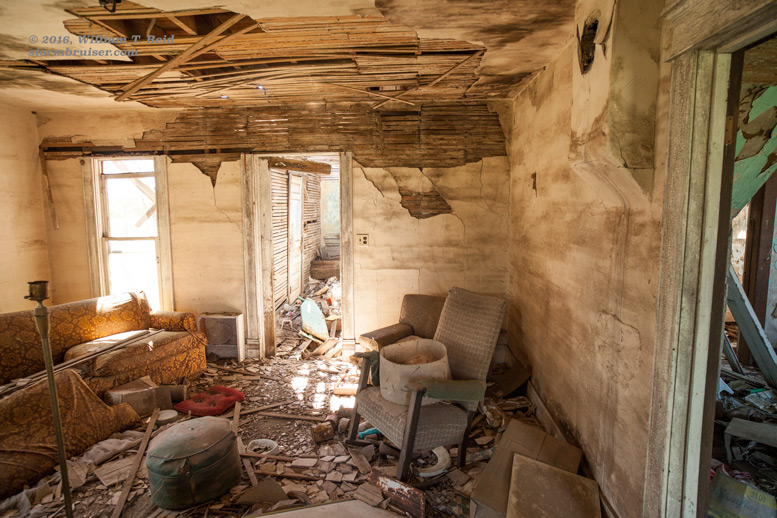
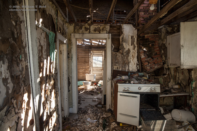
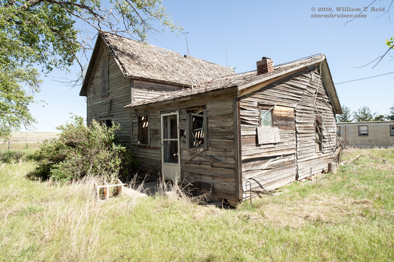
The images below include an old house that we visited on the day prior, the lowering west of Stinnett, and the supercell on the west side of Borger.
Leave a Reply
You must be logged in to post a comment.