
Start Holyoke, CO; end Kimball, NE; 387 miles; lunch Pine Bluffs, WY at the A&W
Early May is usually not the time to bother with upslope flow in Wyoming, but that was the only play for us on this chase day as moisture would not be in good supply on the Plains until tomorrow. Still, shear and moisture appeared to be decent enough for a severe storm, a pretty supercell on the high terrain, near or a little north of the Cheyenne Ridge. SPC showed a marginal risk for severe in this area.
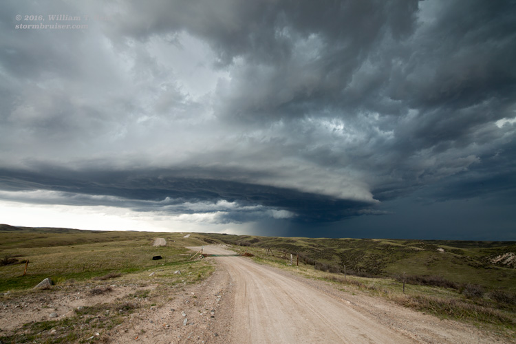
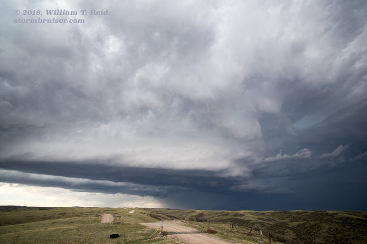
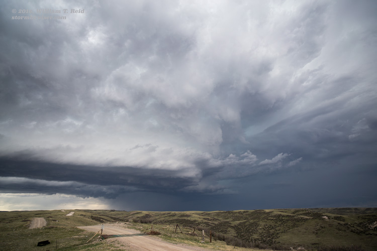
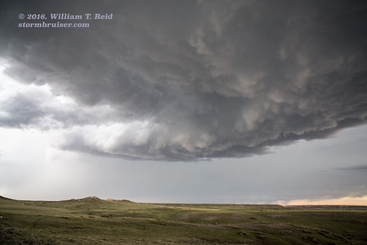
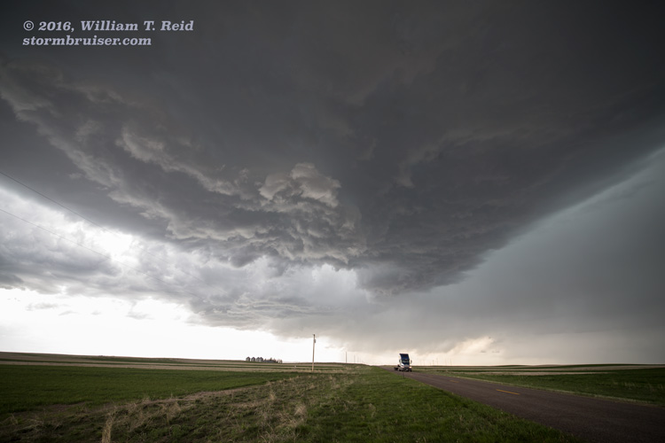
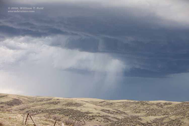
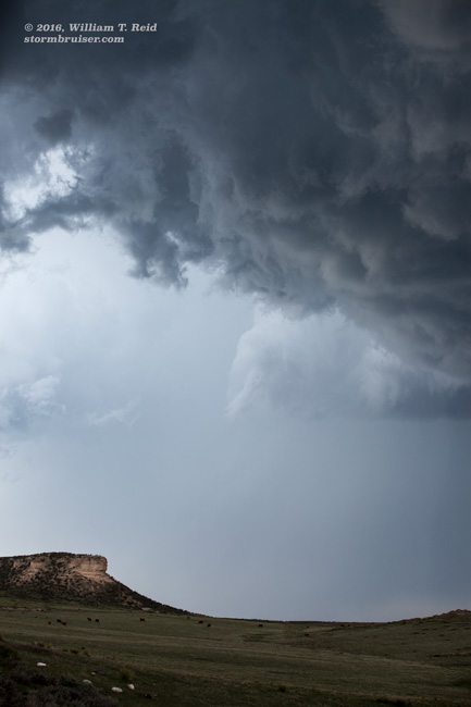
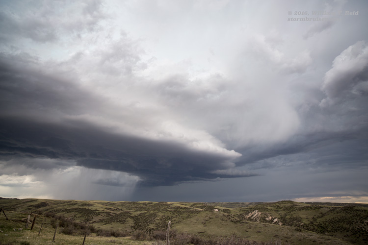
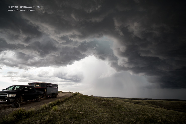
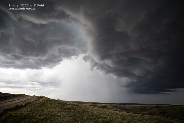
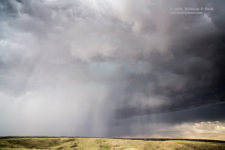
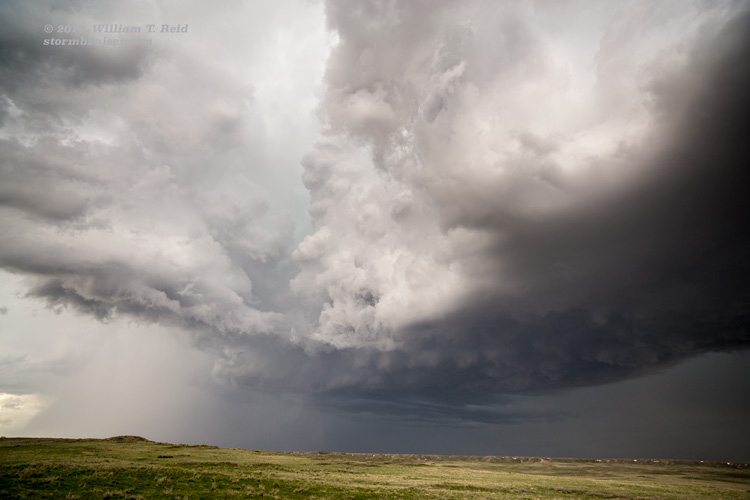
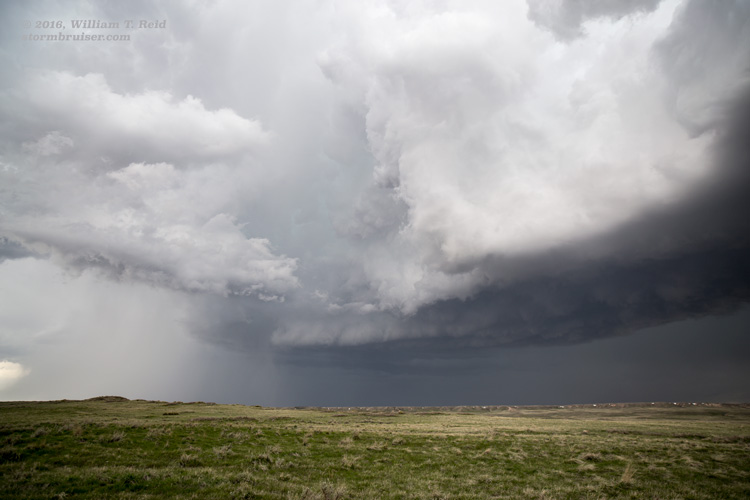
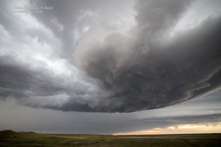
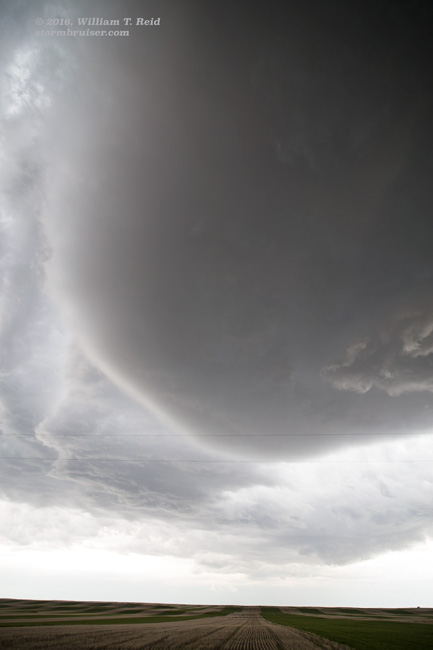
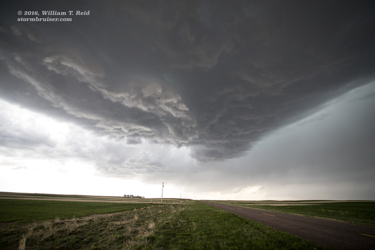
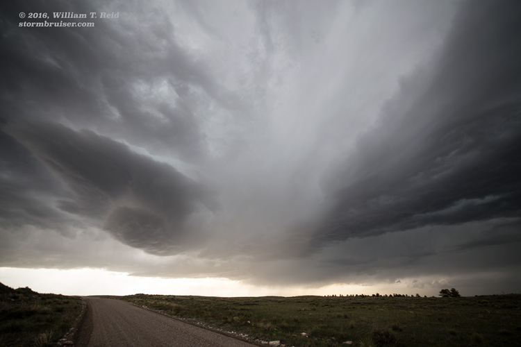
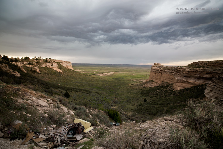
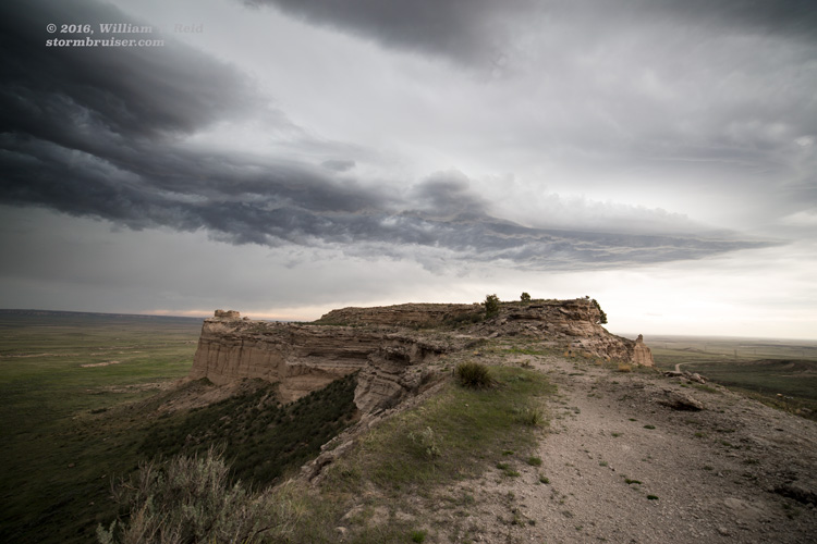
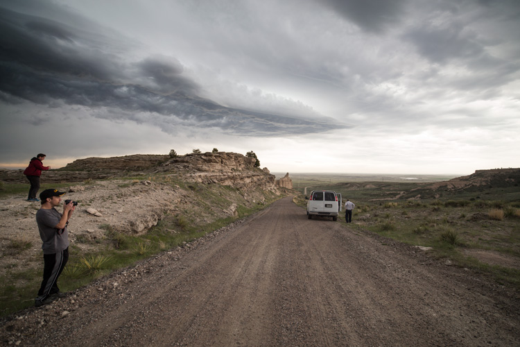
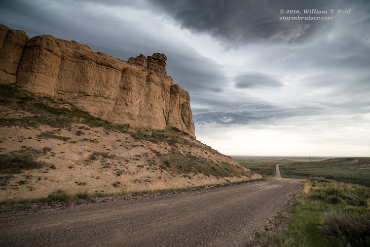
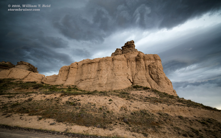
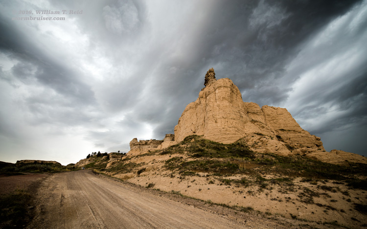
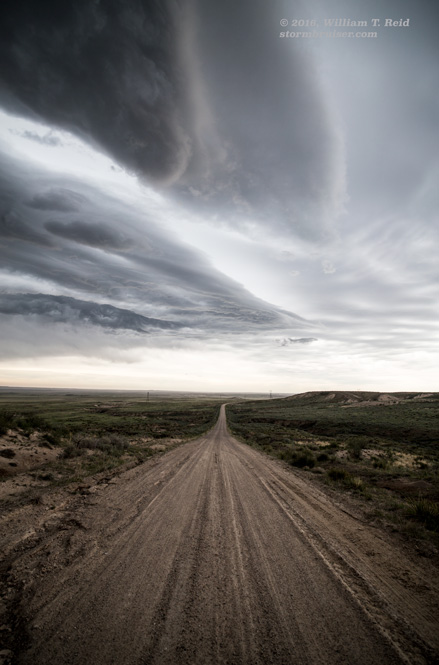
We got up to Chugwater, and, right on cue, a storm was developing on the high terrain to the west. I took Route 211 to the southwest from Chugwater, and at a little place called “Diamond,” headed west on Wedemeyer Road a few miles. We found a great high point with a perfect view to the west and northwest. A rather impressive supercell (given expectations) held our attention for a few hours as it moved somewhat slowly to the northeast. The storm was high-based with a persistent RFD slot, adjacent to areas which “tightened up” from time to time. We stayed with the supercell by going back to Chugwater and north to Slater, and then east from there on 314. We were beneath the laminar base for a bit with hailshafts nearby, but the base continued to be too high, it seemed, for a tornado threat, and by this time the updraft was weakening. Highway 314 drops off of the ridge between Slater and Yoder, and we stopped for some landscape photography with the dying storm as a backdrop.
Leave a Reply
You must be logged in to post a comment.