Start, Wichita; end, Woodward; 393 miles; lunch in Hutchinson, KS (convenience store)
spc-mesoscale-discussion-740 c and e KS/1:08 p.m.
spc-mesoscale-discussion-741 w KS and w OK/1:13 p.m.
spc-mesoscale-discussion-745 e CO and w KS/3:23 p.m.
spc-mesoscale-discussion-749 KS/5:55 p.m.
spc-mesoscale-discussion-751 e CO and w KS/6:46 p.m.
spc-mesoscale-discussion-753 w OK/7:46 p.m.
spc-mesoscale-discussion-754 KS/OK 8:52 p.m.
may-26-route (large file, courtesy of Chris Gullikson)
GoPro video of Lookout storm (courtesy of Chris Gullikson)
Our group began the day in Wichita, with visions of big, bad tornadoes dancing in our heads for the final day of the 11-day tour. We were on a 4-day winning streak with regard to tornado intercepts, and it looked like the atmosphere had a grand finale lined up for us on May 26th. Abundant instability and wind shear spelled “DOOM” for the poor, tiny Kansas and Oklahoma towns from about Belleville to Buffalo. A surface low in western KS, a warm front across the state, a dry line in the extreme eastern TX Panhandle…just how much mayhem would be in store for us today? We got out of Wichita and headed west. I wanted to be closer to that surface low, probably near or along that warm front that was cutting across the middle of Kansas. But, the target area was somewhat nebulous. Or really nebulous. There were issues. SPC was throwing out some strong language in their convective outlooks, words and phrases including:
significant tornado
very moist and extremely unstable
unusually favorable thermodynamic environment
increasing large scale forcing
strong tornadoes
very large hail
Whoohoo!
But then there were these other words and phrases lurking in their convective outlooks:
possible
complicating factors
possible
downdraft production
some uncertainty regarding timing
scenario will get more complex
stabilizing influences
convective overturning
convective contamination
cast doubt on the magnitude
Dang, there seems to be a little negativity raining on our potential parade of happiness. By the 20Z outlook, SPC had a moderate risk smothering much of central KS and a 15-percent hatched tornado risk. That is about as high as we saw for all of May on the Plains. So, after a quick and dirty lunch stop in Hutchinson, we continued west. My plan was to figure it out as we went along. Soon after lunch, we were already getting storms nearby. It was barely after noon! That usually spells doom for a chase day, as it means the cap is far too weak and/or the upper-level “support” is ill-timed. We continued to the west, and somewhere near Macksville, Kansas, we stopped and waited around as some storms with decent potential approached from the SSW. The problem was that it was still early, skies were still quite cloudy everywhere, and midday sunshine was sparse. To me, it didn’t seem like the day would wind up being a good chase day. And it was not, at least from a tornado perspective. The big tornado day was a big dud. Too many storms went up far too early, and the central Kansas atmosphere quickly turned into a cold, flabby wet sponge. A storm to our west, near Fellsburg, was severe-warned, maybe even tornado-warned. It was ugly and outflowish.
We played around in the area near and northwest of Pratt for a bit, and then it was time to abandon central Kansas. This area was a mess, with too many junky storms. It was still mid-afternoon, so we headed west towards the surface low in southwestern Kansas, where there was some sunshine and decent chances for some new activity in an unspoiled airmass.
We came up on a nice and fairly isolated storm near Ashland, KS, and it developed into a decent supercell. There might have been a brief, dusty or rain-wrapped tornado with it, but we weren’t certain. This storm looked okay for a bit and then sputtered.
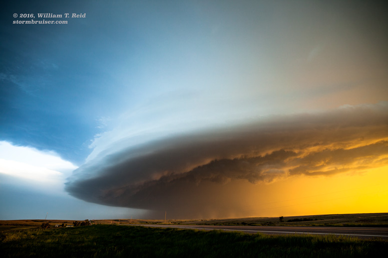
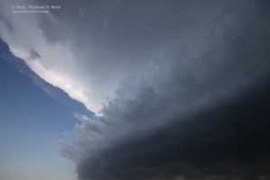
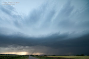
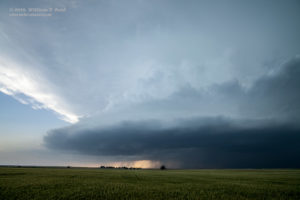
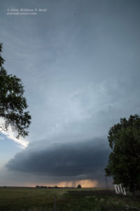
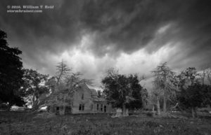
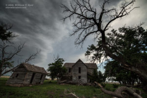
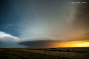
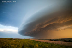
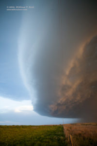
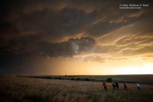
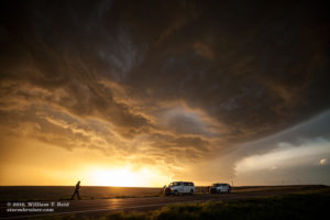
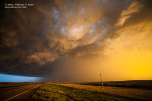
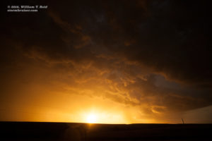
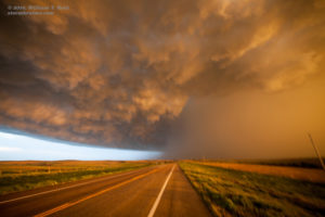
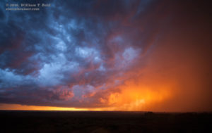
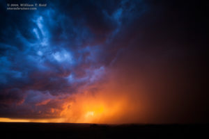
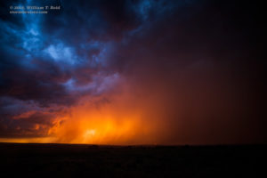
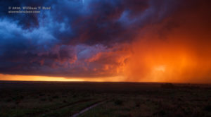
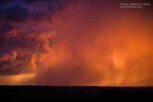
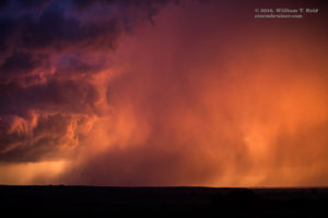
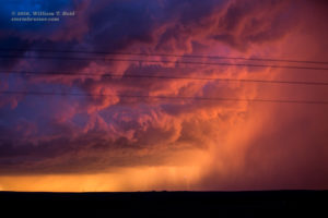
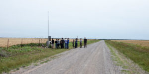
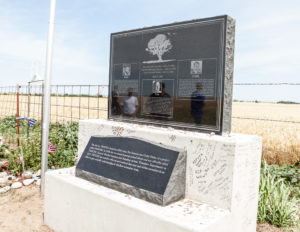
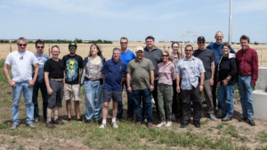
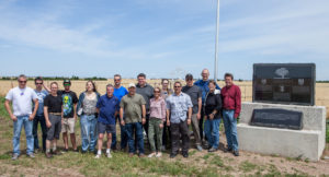
We checked out an old house near Protection, and then dashed south to a new severe storm near the border, near Lookout, OK. This one had a fabulous laminar forward flank. And, behind it at sunset, another storm was glowing orange and red. That was a nice grand finale, after all! On the way back to OKC on May 27th, we stopped by the Twistex/El Reno memorial for a group photo.



Leave a Reply
You must be logged in to post a comment.